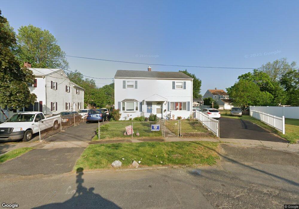
129 Mcgrath Ct Stratford, CT 06615
Stratford Center Historic District NeighborhoodEstimated Value: $272,000 - $276,025
2
Beds
1
Bath
952
Sq Ft
$287/Sq Ft
Est. Value
About This Home
This home is located at 129 Mcgrath Ct, Stratford, CT 06615 and is currently estimated at $273,675, approximately $287 per square foot. 129 Mcgrath Ct is a home located in Fairfield County with nearby schools including Stratford Academy - Johnson House, David Wooster Middle School, and Stratford High School.
Ownership History
Date
Name
Owned For
Owner Type
Purchase Details
Closed on
Apr 6, 2020
Sold by
Rivera Florence F
Bought by
Rivera Florence F and Negron Miguel A
Current Estimated Value
Home Financials for this Owner
Home Financials are based on the most recent Mortgage that was taken out on this home.
Original Mortgage
$111,750
Outstanding Balance
$97,512
Interest Rate
3.2%
Mortgage Type
New Conventional
Estimated Equity
$176,163
Purchase Details
Closed on
Nov 21, 2000
Sold by
Frasco Frances
Bought by
Rivera Florence
Create a Home Valuation Report for This Property
The Home Valuation Report is an in-depth analysis detailing your home's value as well as a comparison with similar homes in the area
Home Values in the Area
Average Home Value in this Area
Purchase History
| Date | Buyer | Sale Price | Title Company |
|---|---|---|---|
| Rivera Florence F | -- | None Available | |
| Rivera Florence | $69,000 | -- |
Source: Public Records
Mortgage History
| Date | Status | Borrower | Loan Amount |
|---|---|---|---|
| Open | Rivera Florence F | $111,750 | |
| Previous Owner | Rivera Florence | $132,000 | |
| Previous Owner | Rivera Florence | $12,000 | |
| Previous Owner | Rivera Florence | $97,500 |
Source: Public Records
Tax History
| Year | Tax Paid | Tax Assessment Tax Assessment Total Assessment is a certain percentage of the fair market value that is determined by local assessors to be the total taxable value of land and additions on the property. | Land | Improvement |
|---|---|---|---|---|
| 2025 | $4,025 | $100,120 | $36,070 | $64,050 |
| 2024 | $4,025 | $100,120 | $36,070 | $64,050 |
| 2023 | $4,025 | $100,120 | $36,070 | $64,050 |
| 2022 | $3,951 | $100,120 | $36,070 | $64,050 |
| 2021 | $3,952 | $100,120 | $36,070 | $64,050 |
| 2020 | $3,969 | $100,120 | $36,070 | $64,050 |
| 2019 | $2,672 | $67,030 | $22,370 | $44,660 |
| 2018 | $2,674 | $67,030 | $22,370 | $44,660 |
| 2017 | $2,679 | $67,030 | $22,370 | $44,660 |
| 2016 | $2,613 | $67,030 | $22,370 | $44,660 |
| 2015 | $2,479 | $67,030 | $22,370 | $44,660 |
| 2014 | $2,325 | $65,260 | $22,980 | $42,280 |
Source: Public Records
Map
Nearby Homes
- 19 Wooster Ave
- 425 Mckinley Ave
- 366 Columbus Ave
- 325 Mckinley Ave
- 394 Harding Ave
- 265 Birdseye St
- 120 Chelsea St
- 1260 Elm St
- 33 Sands Place
- 62 Roosevelt Ave
- 1462 South Ave
- 1596 Main St
- 50 Birdseye St Unit 104
- 79 Evelyn St
- 15 Harding Ave
- 25 Lindsley Place
- 1867 Main St
- 17 Miranda Ln
- 54 Vernon St
- 71 Oakland St
Your Personal Tour Guide
Ask me questions while you tour the home.