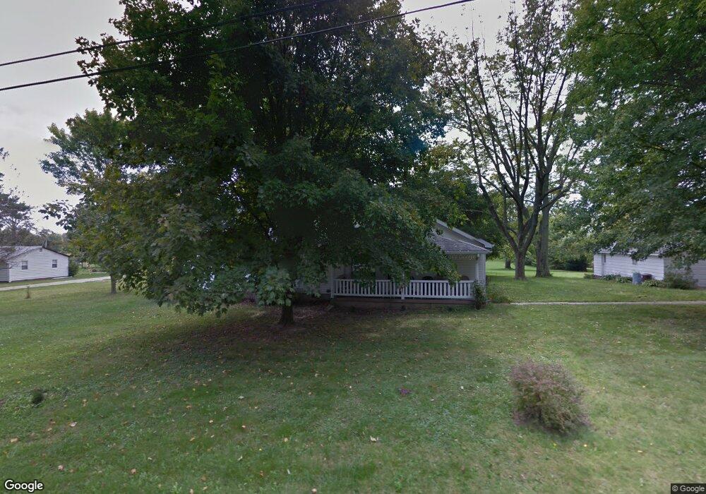
129 Merriman Rd Mooresville, IN 46158
Estimated Value: $251,000 - $316,790
2
Beds
2
Baths
1,789
Sq Ft
$158/Sq Ft
Est. Value
About This Home
This home is located at 129 Merriman Rd, Mooresville, IN 46158 and is currently estimated at $281,948, approximately $157 per square foot. 129 Merriman Rd is a home located in Morgan County with nearby schools including Mooresville High School and Mooresville Christian Academy.
Ownership History
Date
Name
Owned For
Owner Type
Purchase Details
Closed on
Jan 28, 2010
Sold by
Robinson Daniel J and Robinson Louise V
Bought by
Robinson Daniel Joseph and Robinson Stella Louise Valentine
Current Estimated Value
Create a Home Valuation Report for This Property
The Home Valuation Report is an in-depth analysis detailing your home's value as well as a comparison with similar homes in the area
Home Values in the Area
Average Home Value in this Area
Purchase History
| Date | Buyer | Sale Price | Title Company |
|---|---|---|---|
| Robinson Daniel Joseph | -- | -- |
Source: Public Records
Tax History Compared to Growth
Tax History
| Year | Tax Paid | Tax Assessment Tax Assessment Total Assessment is a certain percentage of the fair market value that is determined by local assessors to be the total taxable value of land and additions on the property. | Land | Improvement |
|---|---|---|---|---|
| 2024 | $638 | $253,200 | $84,300 | $168,900 |
| 2023 | $646 | $252,700 | $84,300 | $168,400 |
| 2022 | $745 | $244,200 | $84,300 | $159,900 |
| 2021 | $664 | $204,600 | $65,000 | $139,600 |
| 2020 | $642 | $187,700 | $43,900 | $143,800 |
| 2019 | $659 | $180,900 | $50,400 | $130,500 |
| 2018 | $707 | $147,000 | $43,900 | $103,100 |
| 2017 | $701 | $146,100 | $43,900 | $102,200 |
| 2016 | $696 | $146,200 | $43,900 | $102,300 |
| 2014 | $625 | $136,100 | $36,000 | $100,100 |
| 2013 | $625 | $136,500 | $36,000 | $100,500 |
Source: Public Records
Map
Nearby Homes
- 207 Center Dr
- 126-128 Allen Dr
- 192 Cohen Dr
- Lot 6 Watson Rd
- 50 Kings Ct
- 8245 Henderson Ridge Dr
- 28 Rohn Rd
- Lot 2 Whitetail Ridge
- Lot 6 Whitetail Ridge
- Lot 5 Whitetail Ridge
- Lot 3 Whitetail Ridge
- Lot 1 Whitetail Ridge
- Lot 4 Whitetail Ridge
- 8548 N Observatory Ln
- 0 Whitetail Ridge Lot 3
- 3459 E Centenary Rd
- 0 E Dayhuff Rd Unit MBR22042688
- 0 E Dayhuff Rd Unit MBR22063918
- 326 Mcclure Blvd
- 116 N Church St