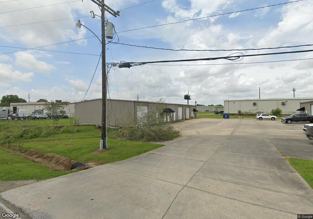
129 Millstone Rd Broussard, LA 70518
Estimated Value: $646,234
Studio
1
Bath
2,000
Sq Ft
$323/Sq Ft
Est. Value
About This Home
This home is located at 129 Millstone Rd, Broussard, LA 70518 and is currently estimated at $646,234, approximately $323 per square foot. 129 Millstone Rd is a home located in Lafayette Parish with nearby schools including Katharine Drexel Elementary School, Martial Billeaud Elementary School, and Broussard Middle School.
Ownership History
Date
Name
Owned For
Owner Type
Purchase Details
Closed on
Nov 9, 2023
Sold by
Wilby Llc
Bought by
Real Estate Acadiana Llc
Current Estimated Value
Home Financials for this Owner
Home Financials are based on the most recent Mortgage that was taken out on this home.
Original Mortgage
$500,000
Outstanding Balance
$488,272
Interest Rate
7.31%
Mortgage Type
New Conventional
Estimated Equity
$157,962
Purchase Details
Closed on
Dec 30, 2005
Sold by
Mensman Bertrand Faith Ann and Whittenburg Cherly Louise Bertrand
Bought by
Wilby Llc
Create a Home Valuation Report for This Property
The Home Valuation Report is an in-depth analysis detailing your home's value as well as a comparison with similar homes in the area
Home Values in the Area
Average Home Value in this Area
Purchase History
| Date | Buyer | Sale Price | Title Company |
|---|---|---|---|
| Real Estate Acadiana Llc | $625,000 | None Listed On Document | |
| Wilby Llc | $375,000 | None Available |
Source: Public Records
Mortgage History
| Date | Status | Borrower | Loan Amount |
|---|---|---|---|
| Open | Real Estate Acadiana Llc | $500,000 |
Source: Public Records
Tax History
| Year | Tax Paid | Tax Assessment Tax Assessment Total Assessment is a certain percentage of the fair market value that is determined by local assessors to be the total taxable value of land and additions on the property. | Land | Improvement |
|---|---|---|---|---|
| 2025 | $5,833 | $68,230 | $8,830 | $59,400 |
| 2024 | $5,913 | $68,230 | $8,830 | $59,400 |
| 2023 | $5,913 | $45,482 | $8,830 | $36,652 |
| 2022 | $3,932 | $45,482 | $8,830 | $36,652 |
| 2021 | $3,470 | $39,982 | $8,830 | $31,152 |
| 2020 | $3,466 | $39,982 | $8,830 | $31,152 |
| 2019 | $3,749 | $45,482 | $8,830 | $36,652 |
| 2018 | $3,832 | $45,482 | $8,830 | $36,652 |
| 2017 | $3,826 | $45,482 | $8,830 | $36,652 |
| 2015 | $3,852 | $45,932 | $9,280 | $36,652 |
| 2013 | -- | $45,932 | $9,280 | $36,652 |
Source: Public Records
Map
Nearby Homes
- 700 Saint Nazaire Rd
- 400 Habitat Ridge
- 100 Fallow Ln
- 110-116 Sweetland Ave
- 105 Reservoir Rd
- 102 Queen Palm Cir
- 119 Nellies Ln
- 127 Terrace Oak Ln
- 200 Blk Hardware Rd
- 200 Lafferty Dr
- 106 Avenue Des Freres
- Tbd Highway 90
- 307 & 305 Oakview Dr
- 1000 S Morgan Ave
- 6706 Ambassador Caffery Pkwy
- 000 Ambassador Caffery Pkwy
- 7600 Ambassador Caffery Pkwy
- 108 Chesson Hill Dr
- 104 Star Ln
- 105 Lotus St
- 129 Millstone Rd Unit F
- 129 Millstone Rd Unit A
- 129 Millstone Rd Unit E
- 129 Millstone Rd Unit D
- 129 Millstone Rd Unit C
- 120 Old Farm Rd
- 140 Millstone Rd
- Tbd Old Farm Rd
- 122 Millstone Rd
- 204 Millstone Rd
- 211 Old Farm Rd
- 210 Millstone Rd
- 217 Old Farm Rd
- 205 Highway 96
- 205 Louisiana 96
- 216 Millstone Rd
- 201 Highway 96
- 229 Millstone Rd
- 231/235 La 96
- 231 Highway 96
Your Personal Tour Guide
Ask me questions while you tour the home.