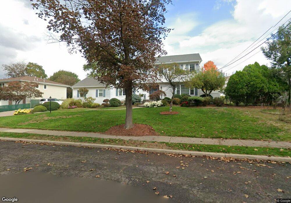
129 Morristown Place Paramus, NJ 07652
Estimated Value: $1,036,260 - $1,237,000
Studio
--
Bath
2,546
Sq Ft
$443/Sq Ft
Est. Value
About This Home
This home is located at 129 Morristown Place, Paramus, NJ 07652 and is currently estimated at $1,129,065, approximately $443 per square foot. 129 Morristown Place is a home located in Bergen County with nearby schools including Paramus High School, Alpine Learning Group, and Holmstead School.
Ownership History
Date
Name
Owned For
Owner Type
Purchase Details
Closed on
Feb 24, 2005
Sold by
Newman Sam
Bought by
Formosa Joseph and Formosa Esther
Current Estimated Value
Home Financials for this Owner
Home Financials are based on the most recent Mortgage that was taken out on this home.
Original Mortgage
$440,000
Outstanding Balance
$224,839
Interest Rate
5.73%
Estimated Equity
$904,226
Create a Home Valuation Report for This Property
The Home Valuation Report is an in-depth analysis detailing your home's value as well as a comparison with similar homes in the area
Home Values in the Area
Average Home Value in this Area
Purchase History
| Date | Buyer | Sale Price | Title Company |
|---|---|---|---|
| Formosa Joseph | $695,000 | -- |
Source: Public Records
Mortgage History
| Date | Status | Borrower | Loan Amount |
|---|---|---|---|
| Open | Formosa Joseph | $440,000 |
Source: Public Records
Tax History
| Year | Tax Paid | Tax Assessment Tax Assessment Total Assessment is a certain percentage of the fair market value that is determined by local assessors to be the total taxable value of land and additions on the property. | Land | Improvement |
|---|---|---|---|---|
| 2025 | $12,200 | $856,100 | $406,100 | $450,000 |
| 2024 | $11,852 | $805,800 | $377,400 | $428,400 |
| 2023 | $11,238 | $772,600 | $359,600 | $413,000 |
| 2022 | $11,238 | $724,100 | $335,300 | $388,800 |
| 2021 | $11,002 | $665,200 | $307,400 | $357,800 |
| 2020 | $10,691 | $670,300 | $317,400 | $352,900 |
| 2019 | $10,303 | $555,100 | $302,500 | $252,600 |
| 2018 | $10,175 | $555,100 | $302,500 | $252,600 |
| 2017 | $9,997 | $555,100 | $302,500 | $252,600 |
| 2016 | $9,725 | $555,100 | $302,500 | $252,600 |
| 2015 | $9,625 | $555,100 | $302,500 | $252,600 |
| 2014 | $9,542 | $555,100 | $302,500 | $252,600 |
Source: Public Records
Map
Nearby Homes
- 133 Morristown Place
- 648 Falmouth Ave
- 605 Craig Ave
- 101 Glen Ave
- 643 Spring Ave
- 602 Mill Run
- 86 Azalea St
- 18 Vermont Dr
- 82 Azalea St
- 683 Eastern Ct
- 779 Decker Place
- 596 Grove St
- 778 E Ridgewood Ave
- 304 Blauvelt Ct
- 33 Oliver Rd
- 232 W Midland Ave
- 495 Paramus Rd
- 801 Godwin Rd
- 780 Hilton Place
- 491 Dorchester Rd
- 661 Yorktown Place
- 666 Paramus Rd
- 665 Yorktown Place
- 128 Morristown Place
- 654 Paramus Rd
- 653 Yorktown Place
- 670 Paramus Rd
- 669 Yorktown Place
- 662 Yorktown Place
- 658 Yorktown Place
- 666 Yorktown Place
- 650 Paramus Rd
- 649 Yorktown Place
- 661 Paramus Rd
- 1 Bay Ct
- 655 Paramus Rd
- 673 Yorktown Place
- 676 Paramus Rd
- 654 Yorktown Place
- 670 Yorktown Place
Your Personal Tour Guide
Ask me questions while you tour the home.