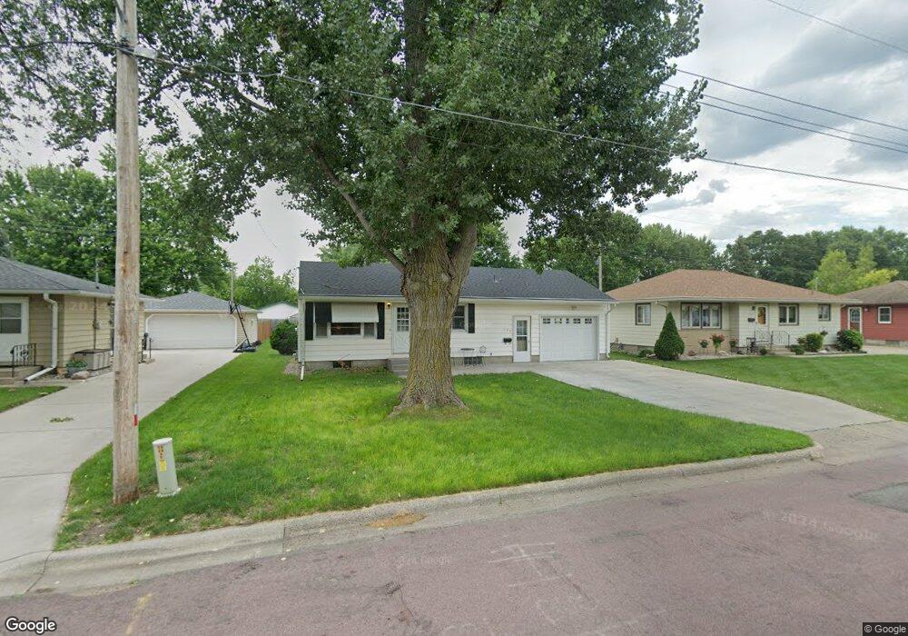
129 N Black Eagle Dr Mankato, MN 56001
Peacepipe Park NeighborhoodEstimated Value: $186,537 - $224,000
3
Beds
1
Bath
750
Sq Ft
$275/Sq Ft
Est. Value
About This Home
This home is located at 129 N Black Eagle Dr, Mankato, MN 56001 and is currently estimated at $206,134, approximately $274 per square foot. 129 N Black Eagle Dr is a home located in Blue Earth County with nearby schools including Kennedy Elementary School, Prairie Winds Middle School, and Mankato East Senior High School.
Ownership History
Date
Name
Owned For
Owner Type
Purchase Details
Closed on
Sep 27, 2017
Sold by
Flo Anna M
Bought by
Flo David J and Flo Julie A
Current Estimated Value
Purchase Details
Closed on
Aug 29, 2006
Sold by
Mcdonald Michael W and Mcdonald Linda L
Bought by
Flo Anna M
Home Financials for this Owner
Home Financials are based on the most recent Mortgage that was taken out on this home.
Original Mortgage
$109,520
Interest Rate
6.7%
Mortgage Type
New Conventional
Create a Home Valuation Report for This Property
The Home Valuation Report is an in-depth analysis detailing your home's value as well as a comparison with similar homes in the area
Home Values in the Area
Average Home Value in this Area
Purchase History
| Date | Buyer | Sale Price | Title Company |
|---|---|---|---|
| Flo David J | $101,952 | -- | |
| Flo Anna M | $136,900 | -- |
Source: Public Records
Mortgage History
| Date | Status | Borrower | Loan Amount |
|---|---|---|---|
| Previous Owner | Flo Anna M | $109,520 |
Source: Public Records
Tax History
| Year | Tax Paid | Tax Assessment Tax Assessment Total Assessment is a certain percentage of the fair market value that is determined by local assessors to be the total taxable value of land and additions on the property. | Land | Improvement |
|---|---|---|---|---|
| 2025 | $1,788 | $174,500 | $30,900 | $143,600 |
| 2024 | $1,750 | $179,500 | $30,600 | $148,900 |
| 2023 | $1,662 | $179,500 | $30,600 | $148,900 |
| 2022 | $1,444 | $160,300 | $30,600 | $129,700 |
| 2021 | $1,414 | $134,300 | $30,900 | $103,400 |
| 2020 | $1,362 | $127,300 | $30,900 | $96,400 |
| 2019 | $1,236 | $127,300 | $30,900 | $96,400 |
| 2018 | $1,294 | $117,800 | $30,900 | $86,900 |
| 2017 | $1,070 | $122,300 | $30,900 | $91,400 |
| 2016 | $1,064 | $110,400 | $30,900 | $79,500 |
| 2015 | $10 | $110,400 | $30,900 | $79,500 |
| 2014 | $1,104 | $106,600 | $30,900 | $75,700 |
Source: Public Records
Map
Nearby Homes
- 1628 Fair St
- 0 Commodore Dr Unit 429 Deldona Drive
- 0 Holly Ln
- 107 S Belmont Dr
- 2338 Hoffman Path
- 219 Terrace Dr
- 128 S Belmont Dr
- 328 S Redwood Dr
- 103 Bardin Dr Unit 104
- 106 Bardin Dr Unit 107
- 108 Laurinda Ln Unit 158
- 102 Terri Ln Unit 139
- 0 Agency Rd
- TBD Agency Rd
- 109 Laurinda Ln Unit 93
- 108 Hilton Ct
- 220 Alta Dr
- 118 Lynn Ln Unit 82
- 112 Terri Ln Unit 136
- 110 Terri Ln Unit 135
- 125 N Black Eagle Dr
- 133 N Black Eagle Dr
- 121 N Black Eagle Dr
- 201 N Black Eagle Dr
- 130 N Black Eagle Dr
- 126 N Black Eagle Dr
- 124 N Mayfair Dr
- 124 124 N Mayfair Dr
- 202 N Black Eagle Dr
- 122 N Black Eagle Dr
- 117 N Black Eagle Dr
- 120 N Mayfair Dr
- 205 N Black Eagle Dr
- 128 N Mayfair Dr
- 116 N Mayfair Dr
- 118 N Black Eagle Dr
- 206 N Black Eagle Dr
- 113 N Black Eagle Dr
- 209 N Black Eagle Dr
- 114 N Black Eagle Dr
Your Personal Tour Guide
Ask me questions while you tour the home.