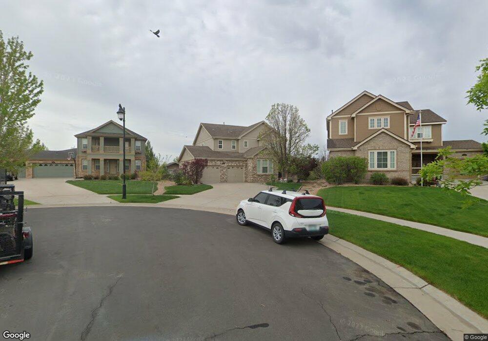
129 N Buchanan Ct Aurora, CO 80018
Estimated Value: $624,599 - $645,000
4
Beds
4
Baths
2,752
Sq Ft
$232/Sq Ft
Est. Value
About This Home
This home is located at 129 N Buchanan Ct, Aurora, CO 80018 and is currently estimated at $639,150, approximately $232 per square foot. 129 N Buchanan Ct is a home located in Arapahoe County with nearby schools including Vista Peak Exploratory and Vista Peak 9-12 Preparatory.
Ownership History
Date
Name
Owned For
Owner Type
Purchase Details
Closed on
Jun 24, 2013
Sold by
Delahousse Dawn and Bolen Dawn L
Bought by
Delahousse Dawn and Delahousse Gaetan
Current Estimated Value
Purchase Details
Closed on
Sep 14, 2009
Sold by
Pak Alex D and Boles Dawn L
Bought by
Boles Dawn L
Home Financials for this Owner
Home Financials are based on the most recent Mortgage that was taken out on this home.
Original Mortgage
$316,194
Outstanding Balance
$86,356
Interest Rate
5.16%
Mortgage Type
New Conventional
Estimated Equity
$552,794
Purchase Details
Closed on
Feb 28, 2005
Sold by
Lennar Colorado Llc
Bought by
Pak Alex D and Pak Dawn L
Home Financials for this Owner
Home Financials are based on the most recent Mortgage that was taken out on this home.
Original Mortgage
$266,800
Interest Rate
5.5%
Mortgage Type
Purchase Money Mortgage
Create a Home Valuation Report for This Property
The Home Valuation Report is an in-depth analysis detailing your home's value as well as a comparison with similar homes in the area
Purchase History
| Date | Buyer | Sale Price | Title Company |
|---|---|---|---|
| Delahousse Dawn | -- | None Available | |
| Boles Dawn L | -- | Old Republic Title | |
| Pak Alex D | $333,555 | North American Title |
Source: Public Records
Mortgage History
| Date | Status | Borrower | Loan Amount |
|---|---|---|---|
| Open | Boles Dawn L | $316,194 | |
| Closed | Pak Alex D | $266,800 | |
| Closed | Pak Alex D | $66,700 |
Source: Public Records
Tax History
| Year | Tax Paid | Tax Assessment Tax Assessment Total Assessment is a certain percentage of the fair market value that is determined by local assessors to be the total taxable value of land and additions on the property. | Land | Improvement |
|---|---|---|---|---|
| 2025 | $5,436 | $39,838 | -- | -- |
| 2024 | $5,373 | $40,682 | -- | -- |
| 2023 | $5,373 | $40,682 | $0 | $0 |
| 2022 | $4,925 | $33,152 | $0 | $0 |
| 2021 | $5,077 | $33,152 | $0 | $0 |
| 2020 | $5,146 | $33,154 | $0 | $0 |
| 2019 | $5,128 | $33,154 | $0 | $0 |
| 2018 | $5,001 | $30,157 | $0 | $0 |
| 2017 | $4,914 | $30,157 | $0 | $0 |
| 2016 | $4,647 | $29,054 | $0 | $0 |
| 2015 | $4,552 | $29,054 | $0 | $0 |
| 2014 | $3,653 | $22,455 | $0 | $0 |
| 2013 | -- | $23,270 | $0 | $0 |
Source: Public Records
Map
Nearby Homes
- 23843 E 2nd Dr
- 85 N Coolidge St
- 59 S de Gaulle St
- 161 N Elk Ct
- 23576 E 5th Place
- 23584 E 5th Place
- 23626 E 5th Place
- 23616 E 5th Place
- 23627 E 5th Place
- 23376 E 5th Place Unit 101
- 23405 E 5th Place Unit 201
- 127 S Coolidge St
- 24346 E 5th Place
- 23401 E 5th Dr Unit 104
- 23306 E 5th Place
- 239 N Irvington St
- 25029 E 3rd Place
- 668 N Ukraine St
- 678 N Ukraine St
- 22544 E 6th Place
- 149 N Buchanan Ct
- 23753 E 2nd Dr
- 128 N Buchanan Ct
- 23733 E 2nd Dr
- 142 N Biloxi Way
- 23783 E 2nd Dr
- 152 N Biloxi Way
- 23703 E 2nd Dr
- 148 N Buchanan Ct
- 162 N Biloxi Way
- 132 N Biloxi Way
- 172 N Biloxi Way
- 23803 E 2nd Dr
- 168 N Buchanan Ct
- 122 N Biloxi Way
- 188 N Buchanan Ct
- 23823 E 2nd Dr
- 208 N Buchanan Ct
- 192 N Biloxi Way
- 127 N Coolidge Way
Your Personal Tour Guide
Ask me questions while you tour the home.