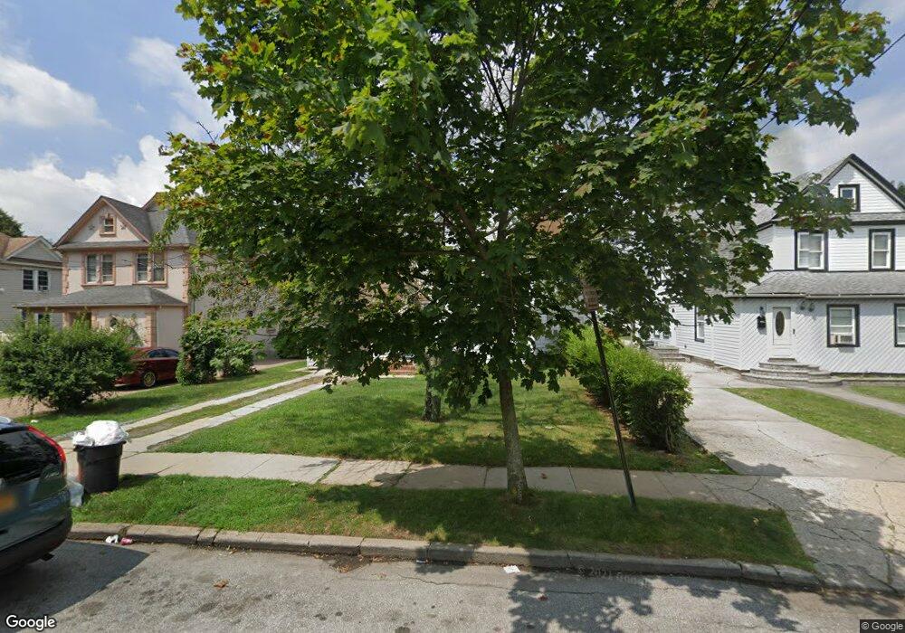
129 N Grove St Freeport, NY 11520
Estimated Value: $622,459 - $671,000
--
Bed
1
Bath
1,495
Sq Ft
$433/Sq Ft
Est. Value
About This Home
This home is located at 129 N Grove St, Freeport, NY 11520 and is currently estimated at $646,730, approximately $432 per square foot. 129 N Grove St is a home located in Nassau County with nearby schools including Caroline G. Atkinson Intermediate School, Columbus Avenue School, and John W Dodd Middle School.
Ownership History
Date
Name
Owned For
Owner Type
Purchase Details
Closed on
Feb 17, 2022
Sold by
All State Funding Eagles Llc
Bought by
Grove St Plus 1 Llc
Current Estimated Value
Home Financials for this Owner
Home Financials are based on the most recent Mortgage that was taken out on this home.
Original Mortgage
$476,000
Interest Rate
3.89%
Mortgage Type
Commercial
Purchase Details
Closed on
Jan 5, 2013
Sold by
Sarowar Tanim
Bought by
Allstate Funding Eagles Llc
Purchase Details
Closed on
Jul 30, 2008
Sold by
Grant Paulette
Bought by
Ultra Quick Construction Inc
Purchase Details
Closed on
Sep 19, 1997
Sold by
Schilling Arthur C
Bought by
Holmes Paulette
Create a Home Valuation Report for This Property
The Home Valuation Report is an in-depth analysis detailing your home's value as well as a comparison with similar homes in the area
Home Values in the Area
Average Home Value in this Area
Purchase History
| Date | Buyer | Sale Price | Title Company |
|---|---|---|---|
| Grove St Plus 1 Llc | $595,000 | Omni Title Agency | |
| Grove St Plus 1 Llc | $595,000 | Omni Title Agency | |
| Allstate Funding Eagles Llc | $1,000 | -- | |
| Allstate Funding Eagles Llc | $1,000 | -- | |
| Ultra Quick Construction Inc | $229,000 | Attorney | |
| Ultra Quick Construction Inc | $229,000 | Attorney | |
| Holmes Paulette | $99,000 | -- | |
| Holmes Paulette | $99,000 | -- |
Source: Public Records
Mortgage History
| Date | Status | Borrower | Loan Amount |
|---|---|---|---|
| Previous Owner | Grove St Plus 1 Llc | $476,000 |
Source: Public Records
Tax History Compared to Growth
Tax History
| Year | Tax Paid | Tax Assessment Tax Assessment Total Assessment is a certain percentage of the fair market value that is determined by local assessors to be the total taxable value of land and additions on the property. | Land | Improvement |
|---|---|---|---|---|
| 2025 | $8,819 | $409 | $158 | $251 |
| 2024 | $906 | $409 | $158 | $251 |
| 2023 | $8,757 | $409 | $158 | $251 |
| 2022 | $8,757 | $409 | $158 | $251 |
| 2021 | $12,921 | $391 | $151 | $240 |
| 2020 | $8,814 | $561 | $414 | $147 |
| 2019 | $931 | $561 | $414 | $147 |
| 2018 | $3,614 | $561 | $0 | $0 |
| 2017 | $6,751 | $561 | $414 | $147 |
| 2016 | $7,593 | $561 | $414 | $147 |
| 2015 | $810 | $561 | $414 | $147 |
| 2014 | $810 | $561 | $414 | $147 |
| 2013 | $766 | $561 | $414 | $147 |
Source: Public Records
Map
Nearby Homes
- 70 N Grove St Unit 1R
- 100 Randall Ave Unit 1E
- 27 W Woodbine Dr
- 45 Dehnhoff Ave
- 99 Randall Ave Unit 1Q
- 101 Wallace St
- 47 Harding Place
- 222 N Ocean Ave
- 110 Brooklyn Ave Unit 1D
- 67 E Dean St
- 29 Wilson Place
- 21 Connecticut Ave
- 6 New York Ave
- 101 Harris Ave
- 112 E Seaman Ave
- 55 S Bergen Place Unit 3F
- 26 Rosedale Ave
- 161 Grand Ave
- 28 Lexington Ave
- 92 Leonard Ave