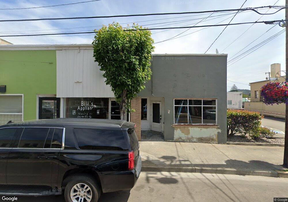
129 N Main St Myrtle Creek, OR 97457
Estimated Value: $361,092
--
Bed
--
Bath
4,050
Sq Ft
$89/Sq Ft
Est. Value
About This Home
This home is located at 129 N Main St, Myrtle Creek, OR 97457 and is currently estimated at $361,092, approximately $89 per square foot. 129 N Main St is a home located in Douglas County with nearby schools including South Umpqua High School.
Ownership History
Date
Name
Owned For
Owner Type
Purchase Details
Closed on
Oct 11, 2007
Sold by
Carleton Everett
Bought by
Krohn Harvey J
Current Estimated Value
Purchase Details
Closed on
Oct 24, 2006
Sold by
James Kathleen S
Bought by
Carleton Everett
Purchase Details
Closed on
Dec 31, 2005
Sold by
Baker James L and Baker Julia E
Bought by
James Max F and James Kathleen S
Home Financials for this Owner
Home Financials are based on the most recent Mortgage that was taken out on this home.
Original Mortgage
$80,000
Interest Rate
6.27%
Mortgage Type
Seller Take Back
Create a Home Valuation Report for This Property
The Home Valuation Report is an in-depth analysis detailing your home's value as well as a comparison with similar homes in the area
Home Values in the Area
Average Home Value in this Area
Purchase History
| Date | Buyer | Sale Price | Title Company |
|---|---|---|---|
| Krohn Harvey J | -- | Amerititle | |
| Carleton Everett | $180,000 | Ticor Title | |
| James Max F | $100,000 | Ticor Title |
Source: Public Records
Mortgage History
| Date | Status | Borrower | Loan Amount |
|---|---|---|---|
| Previous Owner | James Max F | $80,000 |
Source: Public Records
Tax History Compared to Growth
Tax History
| Year | Tax Paid | Tax Assessment Tax Assessment Total Assessment is a certain percentage of the fair market value that is determined by local assessors to be the total taxable value of land and additions on the property. | Land | Improvement |
|---|---|---|---|---|
| 2024 | $1,547 | $115,627 | -- | -- |
| 2023 | $1,501 | $112,260 | $0 | $0 |
| 2022 | $1,458 | $108,991 | $0 | $0 |
| 2021 | $1,415 | $105,817 | $0 | $0 |
| 2020 | $1,374 | $102,735 | $0 | $0 |
| 2019 | $1,329 | $99,743 | $0 | $0 |
| 2018 | $1,264 | $0 | $0 | $0 |
| 2017 | $1,206 | $94,018 | $0 | $0 |
| 2016 | $1,221 | $91,280 | $0 | $0 |
| 2015 | $1,185 | $88,622 | $0 | $0 |
| 2014 | $1,143 | $86,041 | $0 | $0 |
| 2013 | -- | $83,535 | $0 | $0 |
Source: Public Records
Map
Nearby Homes
- 206 NE Laurel Ave
- 195 SE Mill St
- 0 N Main St
- 217 SE Mill St
- 186 NE Division St
- 728 NW Morrison Ave
- 420 SW 4th Ave
- 0 S Main St Unit 24686107
- 407 NE Waite St
- 455 Woody Ct
- 629 NE Johnson St
- 0 SE Meadowlark Ave Unit 370339863
- 1056 NE Orchard Dr
- 650 SE Riverside Dr
- 0 SW Pioneer Way
- 0 SE Ardis Ave Unit 7 24085450
- 0 SE Ardis Ave Unit 9 24630388
- 0 SE Ardis Ave Unit 8 24060428
- 0 SE Ardis Ave Unit 6,7,8,9 24184019
- 0 SE Ardis Ave Unit 6 24491349