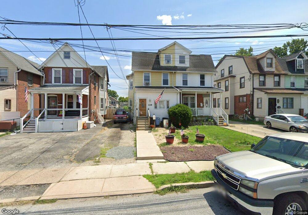
129 N Wells Ave Glenolden, PA 19036
Estimated Value: $267,000 - $332,000
5
Beds
1
Bath
2,105
Sq Ft
$137/Sq Ft
Est. Value
About This Home
This home is located at 129 N Wells Ave, Glenolden, PA 19036 and is currently estimated at $287,418, approximately $136 per square foot. 129 N Wells Ave is a home located in Delaware County with nearby schools including Glenolden School, Interboro Senior High School, and Liberty Baptist Academy.
Ownership History
Date
Name
Owned For
Owner Type
Purchase Details
Closed on
Nov 28, 2003
Sold by
Beideman Roland H and Beideman Elizabeth S
Bought by
Zikowitz Carol
Current Estimated Value
Home Financials for this Owner
Home Financials are based on the most recent Mortgage that was taken out on this home.
Original Mortgage
$118,146
Interest Rate
5.82%
Mortgage Type
FHA
Create a Home Valuation Report for This Property
The Home Valuation Report is an in-depth analysis detailing your home's value as well as a comparison with similar homes in the area
Home Values in the Area
Average Home Value in this Area
Purchase History
| Date | Buyer | Sale Price | Title Company |
|---|---|---|---|
| Zikowitz Carol | $120,000 | Nations Title Of Md Inc |
Source: Public Records
Mortgage History
| Date | Status | Borrower | Loan Amount |
|---|---|---|---|
| Previous Owner | Zikowitz Carol | $118,146 |
Source: Public Records
Tax History Compared to Growth
Tax History
| Year | Tax Paid | Tax Assessment Tax Assessment Total Assessment is a certain percentage of the fair market value that is determined by local assessors to be the total taxable value of land and additions on the property. | Land | Improvement |
|---|---|---|---|---|
| 2025 | $5,815 | $162,150 | $41,430 | $120,720 |
| 2024 | $5,815 | $162,150 | $41,430 | $120,720 |
| 2023 | $5,689 | $162,150 | $41,430 | $120,720 |
| 2022 | $5,595 | $162,150 | $41,430 | $120,720 |
| 2021 | $7,895 | $162,150 | $41,430 | $120,720 |
| 2020 | $5,021 | $96,480 | $29,240 | $67,240 |
| 2019 | $4,965 | $96,480 | $29,240 | $67,240 |
| 2018 | $4,876 | $96,480 | $0 | $0 |
| 2017 | $4,768 | $96,480 | $0 | $0 |
| 2016 | $529 | $96,480 | $0 | $0 |
| 2015 | $540 | $96,480 | $0 | $0 |
| 2014 | $529 | $96,480 | $0 | $0 |
Source: Public Records
Map
Nearby Homes
- 106 N Bonsall Ave
- 27 N Macdade Blvd
- 317 N Llanwellyn Ave
- 125 N Scott Ave
- 3 W Cooke Ave
- 1 S Macdade Blvd
- 419 Custer Ave
- 4 N Chester Pike
- 32 S Macdade Blvd
- 630 Richfield Ave
- 8 Stuart Ave
- 126 Hansen Terrace
- 614 S Garfield Ave
- 23 W Knowles Ave
- 128 E Cooke Ave
- 111 E Oak Ln
- 119 Folcroft Ave
- 1025 Andrews Ave
- 1011 Andrews Ave
- 164 Wayne Ave
- 131 N Wells Ave
- 127 N Wells Ave
- 125 N Wells Ave
- 123 N Wells Ave
- 133 N Wells Ave
- 117 N Wells Ave
- 115 N Wells Ave
- 113 N Wells Ave
- 124 N Bonsall Ave
- 122 N Bonsall Ave
- 120 N Bonsall Ave
- 136 N Bonsall Ave
- 118 N Bonsall Ave
- 141 N Wells Ave
- 111 N Wells Ave
- 116 N Bonsall Ave
- 114 N Bonsall Ave
- 138 N Bonsall Ave
- 130 N Wells Ave
- 128 N Wells Ave