129 Oak Point Dr Eagle Point, OR 97524
Estimated Value: $496,702 - $591,000
3
Beds
2
Baths
2,155
Sq Ft
$244/Sq Ft
Est. Value
About This Home
This home is located at 129 Oak Point Dr, Eagle Point, OR 97524 and is currently estimated at $526,426, approximately $244 per square foot. 129 Oak Point Dr is a home located in Jackson County with nearby schools including White Mountain Middle School, Eagle Point Middle School, and Eagle Point High School.
Ownership History
Date
Name
Owned For
Owner Type
Purchase Details
Closed on
May 13, 2008
Sold by
Thurston Shane R and Thurston Margaret A
Bought by
Rogers Kristy L
Current Estimated Value
Home Financials for this Owner
Home Financials are based on the most recent Mortgage that was taken out on this home.
Original Mortgage
$167,150
Outstanding Balance
$104,437
Interest Rate
5.88%
Mortgage Type
Purchase Money Mortgage
Estimated Equity
$421,989
Create a Home Valuation Report for This Property
The Home Valuation Report is an in-depth analysis detailing your home's value as well as a comparison with similar homes in the area
Home Values in the Area
Average Home Value in this Area
Purchase History
| Date | Buyer | Sale Price | Title Company |
|---|---|---|---|
| Rogers Kristy L | $329,650 | Lawyers Title Ins |
Source: Public Records
Mortgage History
| Date | Status | Borrower | Loan Amount |
|---|---|---|---|
| Open | Rogers Kristy L | $167,150 |
Source: Public Records
Tax History
| Year | Tax Paid | Tax Assessment Tax Assessment Total Assessment is a certain percentage of the fair market value that is determined by local assessors to be the total taxable value of land and additions on the property. | Land | Improvement |
|---|---|---|---|---|
| 2026 | $4,102 | $301,490 | -- | -- |
| 2025 | $4,005 | $292,710 | $110,280 | $182,430 |
| 2024 | $4,005 | $284,190 | $107,060 | $177,130 |
| 2023 | $3,869 | $275,920 | $103,940 | $171,980 |
| 2022 | $3,764 | $275,920 | $103,940 | $171,980 |
| 2021 | $3,653 | $267,890 | $100,910 | $166,980 |
| 2020 | $3,880 | $260,090 | $97,970 | $162,120 |
| 2019 | $3,821 | $245,170 | $92,350 | $152,820 |
| 2018 | $3,748 | $238,030 | $89,660 | $148,370 |
| 2017 | $3,656 | $238,030 | $89,660 | $148,370 |
| 2016 | $3,585 | $224,370 | $84,510 | $139,860 |
| 2015 | $3,468 | $224,370 | $84,510 | $139,860 |
| 2014 | $3,368 | $211,500 | $79,660 | $131,840 |
Source: Public Records
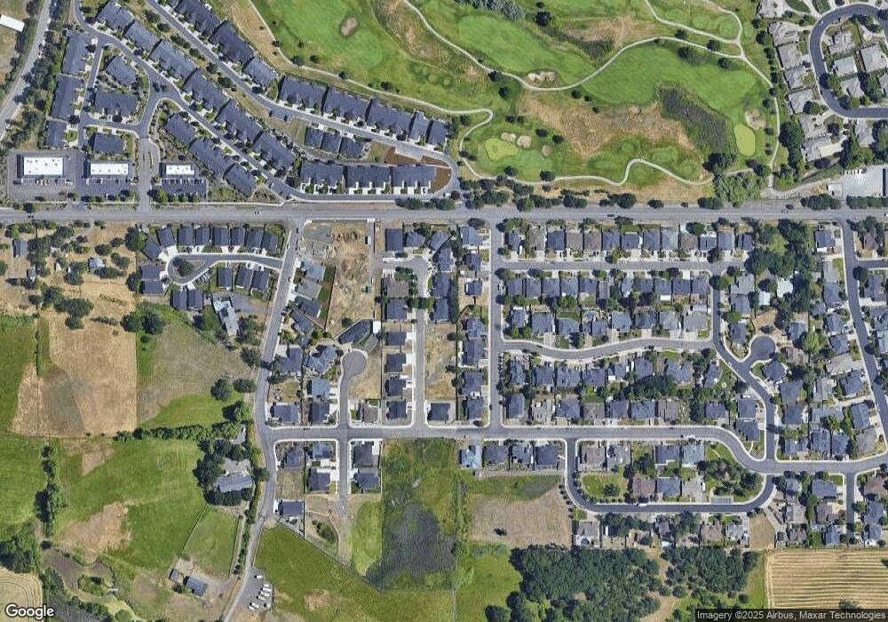
Map
Nearby Homes
- 179 Skyhawk Dr
- 16 Terra Linda Ct
- 637 Oak Wood
- 135 Hidden Valley Dr
- 91 Morning Dove Trail
- 51 Broken Stone Way
- 1065 S Shasta Ave
- 1314 S Shasta Ave Unit A
- 19 Pine Ct
- 16 Portabello Way
- 13 Portabello Way
- 1288 S Shasta Ave
- 31 Wildwood Dr
- 0 Echo Way Unit Tax Lot 902
- 0 Echo Way Unit 220215112
- 0 Echo Way Unit Tax Lot 901
- 0 Echo Way Unit Tax Lot 900
- 210 Bogey Ln
- 201 Bogey Ln
- 10569 Hannon Rd
- 123 Oak Point Dr
- 135 Oak Point Dr
- 132 Ponderosa Way
- 126 Ponderosa Way
- 128 Oak Point Dr
- 141 Oak Point Dr
- 138 Ponderosa Way
- 119 Oak Point Dr
- 122 Oak Point Dr
- 108 Oak Point Dr
- 134 Oak Point Dr
- 134 Oak Point Lot 16 Dr
- 118 Ponderosa Way
- 140 Oak Point Lot 15 Dr
- 147 Oak Point Lot 11 Dr
- 133 Ponderosa Way
- 140 Oak Point Dr
- 115 Oak Point Dr
- 604 Cedarwood Dr
- 144 Ponderosa Way
Your Personal Tour Guide
Ask me questions while you tour the home.