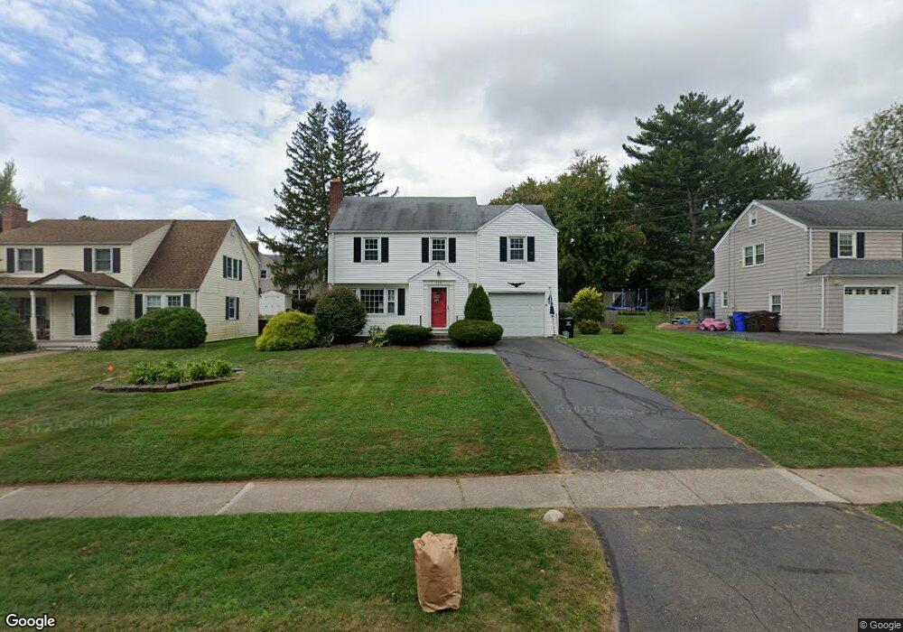
129 Overbrook Rd West Hartford, CT 06107
Estimated Value: $465,000 - $561,000
3
Beds
2
Baths
1,581
Sq Ft
$319/Sq Ft
Est. Value
About This Home
This home is located at 129 Overbrook Rd, West Hartford, CT 06107 and is currently estimated at $505,016, approximately $319 per square foot. 129 Overbrook Rd is a home located in Hartford County with nearby schools including Webster Hill School, Sedgwick Middle School, and Conard High School.
Ownership History
Date
Name
Owned For
Owner Type
Purchase Details
Closed on
Oct 24, 2006
Sold by
Deane Stephan and Deane Kathryn
Bought by
Brennan Laura A
Current Estimated Value
Home Financials for this Owner
Home Financials are based on the most recent Mortgage that was taken out on this home.
Original Mortgage
$168,800
Interest Rate
6.49%
Purchase Details
Closed on
Sep 3, 2002
Sold by
Taft Hildegard I
Bought by
Rich Benjamin C and Rich Christina M
Home Financials for this Owner
Home Financials are based on the most recent Mortgage that was taken out on this home.
Original Mortgage
$219,500
Interest Rate
6%
Create a Home Valuation Report for This Property
The Home Valuation Report is an in-depth analysis detailing your home's value as well as a comparison with similar homes in the area
Home Values in the Area
Average Home Value in this Area
Purchase History
| Date | Buyer | Sale Price | Title Company |
|---|---|---|---|
| Brennan Laura A | $311,000 | -- | |
| Rich Benjamin C | $219,500 | -- |
Source: Public Records
Mortgage History
| Date | Status | Borrower | Loan Amount |
|---|---|---|---|
| Open | Rich Benjamin C | $162,549 | |
| Closed | Rich Benjamin C | $168,800 | |
| Closed | Rich Benjamin C | $102,800 | |
| Previous Owner | Rich Benjamin C | $219,500 |
Source: Public Records
Tax History Compared to Growth
Tax History
| Year | Tax Paid | Tax Assessment Tax Assessment Total Assessment is a certain percentage of the fair market value that is determined by local assessors to be the total taxable value of land and additions on the property. | Land | Improvement |
|---|---|---|---|---|
| 2025 | $10,329 | $230,650 | $90,790 | $139,860 |
| 2024 | $9,768 | $230,650 | $90,790 | $139,860 |
| 2023 | $9,438 | $230,650 | $90,790 | $139,860 |
| 2022 | $9,383 | $230,650 | $90,790 | $139,860 |
| 2021 | $9,092 | $214,340 | $89,400 | $124,940 |
| 2020 | $8,959 | $214,340 | $83,700 | $130,640 |
| 2019 | $8,959 | $214,340 | $83,650 | $130,690 |
| 2018 | $8,788 | $214,340 | $83,650 | $130,690 |
| 2017 | $8,797 | $214,340 | $83,650 | $130,690 |
| 2016 | $7,523 | $190,400 | $67,130 | $123,270 |
| 2015 | $7,294 | $190,400 | $67,130 | $123,270 |
| 2014 | $7,050 | $188,650 | $67,130 | $121,520 |
Source: Public Records
Map
Nearby Homes
- 394 Trout Brook Dr
- 96 Bentwood Rd
- 61 Woodmere Rd
- 741 Quaker Ln S
- 101 Englewood Ave
- 17 Parkview Rd
- 204 Trout Brook Dr
- 69 Saint Augustine St
- 50 Acadia St
- 39 Pheasant Hill Dr
- 395 Park Rd
- 72 Saint Charles St
- 26 Saint Augustine St
- 39 Cortland St
- 90 Park Place Cir Unit 90
- 49 Park Place Cir Unit 49
- 89 Price Blvd
- 1640 Boulevard
- 422 S Main St
- 1145 New Britain Ave
- 125 Overbrook Rd
- 131 Overbrook Rd
- 8 Greystone Rd
- 123 Overbrook Rd
- 10 Greystone Rd
- 7 Rockledge Dr
- 9 Rockledge Dr
- 128 Overbrook Rd
- 3 Rockledge Dr
- 137 Overbrook Rd
- 130 Overbrook Rd
- 126 Overbrook Rd
- 5 Greystone Rd
- 14 Greystone Rd
- 11 Rockledge Dr
- 122 Overbrook Rd
- 134 Overbrook Rd
- 120 Overbrook Rd
- 16 Greystone Rd
- 11 Greystone Rd