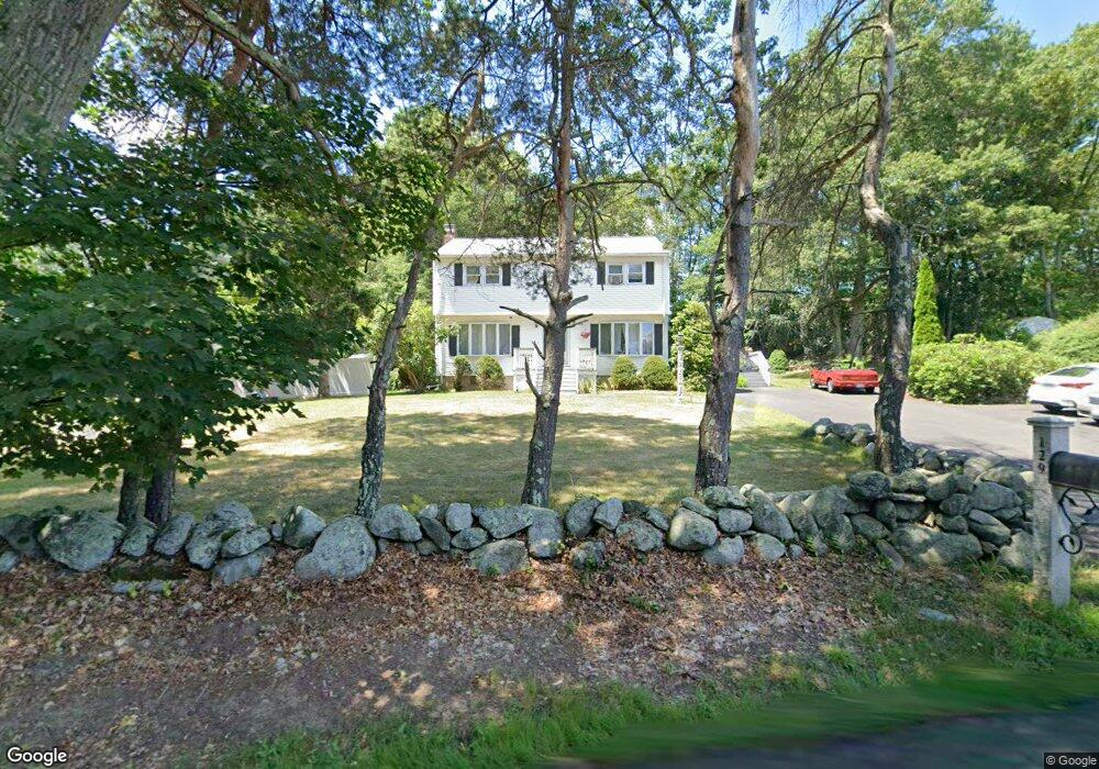
129 Pike St Tewksbury, MA 01876
Estimated Value: $695,445 - $781,000
3
Beds
2
Baths
1,836
Sq Ft
$403/Sq Ft
Est. Value
About This Home
This home is located at 129 Pike St, Tewksbury, MA 01876 and is currently estimated at $739,861, approximately $402 per square foot. 129 Pike St is a home located in Middlesex County with nearby schools including John F. Ryan Elementary School, John W. Wynn Middle School, and Tewksbury Memorial High School.
Ownership History
Date
Name
Owned For
Owner Type
Purchase Details
Closed on
Apr 17, 2002
Sold by
Reese John C
Bought by
Carew Charles F and Carew Lisa J
Current Estimated Value
Purchase Details
Closed on
Mar 31, 1994
Sold by
Smith Edward F and Smith Jo-Ann M
Bought by
Reese John C
Create a Home Valuation Report for This Property
The Home Valuation Report is an in-depth analysis detailing your home's value as well as a comparison with similar homes in the area
Home Values in the Area
Average Home Value in this Area
Purchase History
| Date | Buyer | Sale Price | Title Company |
|---|---|---|---|
| Carew Charles F | $321,000 | -- | |
| Reese John C | $168,000 | -- |
Source: Public Records
Mortgage History
| Date | Status | Borrower | Loan Amount |
|---|---|---|---|
| Open | Reese John C | $160,000 | |
| Closed | Reese John C | $155,900 |
Source: Public Records
Tax History Compared to Growth
Tax History
| Year | Tax Paid | Tax Assessment Tax Assessment Total Assessment is a certain percentage of the fair market value that is determined by local assessors to be the total taxable value of land and additions on the property. | Land | Improvement |
|---|---|---|---|---|
| 2025 | $7,754 | $586,500 | $305,400 | $281,100 |
| 2024 | $7,575 | $565,700 | $291,000 | $274,700 |
| 2023 | $7,333 | $520,100 | $264,400 | $255,700 |
| 2022 | $7,012 | $461,300 | $230,000 | $231,300 |
| 2021 | $6,789 | $431,900 | $209,100 | $222,800 |
| 2020 | $6,524 | $408,500 | $199,100 | $209,400 |
| 2019 | $5,859 | $369,900 | $189,500 | $180,400 |
| 2018 | $5,576 | $345,700 | $189,500 | $156,200 |
| 2017 | $5,567 | $341,300 | $189,500 | $151,800 |
| 2016 | $5,379 | $329,000 | $189,500 | $139,500 |
| 2015 | $5,204 | $317,900 | $183,800 | $134,100 |
| 2014 | $4,944 | $306,900 | $183,800 | $123,100 |
Source: Public Records
Map
Nearby Homes
- 10 Babicz Rd
- 31 Wells Dr
- 164 Astle St
- 71 Secor Way
- 251 Whipple Rd
- 101 Squire Ln
- 347 Astle St
- 11 Nelson Ave
- 167 Charles Dr
- 72 N Billerica Rd
- 18 Newton Ave
- 141 Commonwealth Ave
- 1 Lincoln Rd
- 357 Boylston St Unit 2
- 1117 Emerald Ct
- 11 Emerald Ct
- 1224 Emerald Ct
- 9 Laurie Ann Ln
- 206 Shoreline Dr
- 193 Shoreline Dr