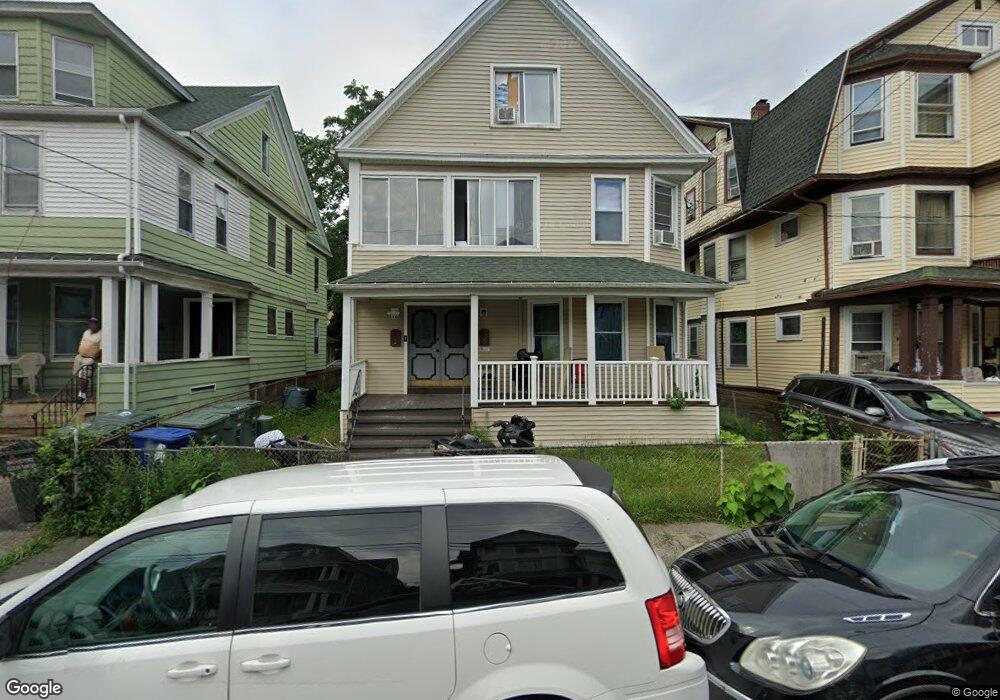
129 Poplar St Bridgeport, CT 06605
West End-West Side NeighborhoodEstimated Value: $423,780 - $580,000
4
Beds
2
Baths
3,562
Sq Ft
$144/Sq Ft
Est. Value
About This Home
This home is located at 129 Poplar St, Bridgeport, CT 06605 and is currently estimated at $511,945, approximately $143 per square foot. 129 Poplar St is a home located in Fairfield County with nearby schools including Bryant Elementary School, Bassick High School, and Park City Prep Charter School.
Ownership History
Date
Name
Owned For
Owner Type
Purchase Details
Closed on
Sep 17, 2018
Sold by
Ragsdale Shelley
Bought by
Ragsdale Christopher
Current Estimated Value
Purchase Details
Closed on
Aug 1, 1997
Sold by
Fant Katharine Est
Bought by
Ragsdale Shelley T
Create a Home Valuation Report for This Property
The Home Valuation Report is an in-depth analysis detailing your home's value as well as a comparison with similar homes in the area
Home Values in the Area
Average Home Value in this Area
Purchase History
| Date | Buyer | Sale Price | Title Company |
|---|---|---|---|
| Ragsdale Christopher | -- | -- | |
| Ragsdale Christopher | -- | -- | |
| Ragsdale Shelley T | $35,000 | -- | |
| Ragsdale Shelley T | $35,000 | -- |
Source: Public Records
Tax History
| Year | Tax Paid | Tax Assessment Tax Assessment Total Assessment is a certain percentage of the fair market value that is determined by local assessors to be the total taxable value of land and additions on the property. | Land | Improvement |
|---|---|---|---|---|
| 2025 | $8,778 | $202,020 | $52,160 | $149,860 |
| 2024 | $8,778 | $202,020 | $52,160 | $149,860 |
| 2023 | $8,778 | $202,020 | $52,160 | $149,860 |
| 2022 | $8,778 | $202,020 | $52,160 | $149,860 |
| 2021 | $8,778 | $202,020 | $52,160 | $149,860 |
| 2020 | $7,864 | $145,650 | $31,610 | $114,040 |
| 2019 | $7,864 | $145,650 | $31,610 | $114,040 |
| 2018 | $7,919 | $145,650 | $31,610 | $114,040 |
| 2017 | $7,919 | $145,650 | $31,610 | $114,040 |
| 2016 | $7,919 | $145,650 | $31,610 | $114,040 |
| 2015 | $8,150 | $193,130 | $47,800 | $145,330 |
| 2014 | $8,150 | $193,130 | $47,800 | $145,330 |
Source: Public Records
Map
Nearby Homes
- 137 Poplar St
- 899 Hancock Ave
- 1050 Hancock Ave Unit 1052
- 195 Lenox Ave Unit 197
- 203 Lenox Ave Unit 205
- 246 Lenox Ave
- 301 Poplar St Unit 303
- 412 Dewey St
- 74 Carleton Ave
- 95 Bedford Ave
- 697 Laurel Ave
- 700 Laurel Ave
- 393 Laurel Ave Unit 203
- 2370 North Ave Unit 3F
- 25 Cartright St Unit 3K
- 25 Cartright St Unit 5D
- 150 Clinton Ave
- 80 Cartright St Unit 5D
- 80 Cartright St Unit 2F
- 80 Cartright St Unit 8B
- 131 Poplar St
- 135 Poplar St Unit 3
- 119 Poplar St
- 133 Poplar St
- 145 Poplar St
- 109 Poplar St
- 137 Poplar St Unit 1 floor
- 97 Poplar St
- 120 Poplar St Unit 2
- 120 Poplar St
- 139 Poplar St Unit 2nd floor
- 139 Poplar St
- 928 Hancock Ave Unit 3r
- 928 Hancock Ave Unit A
- 928 Hancock Ave
- 932 Hancock Ave Unit 2A
- 932 Hancock Ave Unit 3L
- 132 Poplar St
- 922 Hancock Ave Unit 924
- 938 Hancock Ave Unit 940
Your Personal Tour Guide
Ask me questions while you tour the home.