129 Queen Anne Rd Harwich, MA 2645
Northwest Harwich NeighborhoodEstimated Value: $458,571
--
Bed
--
Bath
9,800
Sq Ft
$47/Sq Ft
Est. Value
About This Home
This home is located at 129 Queen Anne Rd, Harwich, MA 2645 and is currently estimated at $458,571, approximately $46 per square foot. 129 Queen Anne Rd is a home located in Barnstable County with nearby schools including Harwich Elementary School, Chatham Elementary School, and Monomoy Regional Middle School.
Ownership History
Date
Name
Owned For
Owner Type
Purchase Details
Closed on
Oct 3, 2016
Sold by
129 Queen Anne Road Rt
Bought by
129 Queen Anne Road Rt
Current Estimated Value
Purchase Details
Closed on
Jun 24, 2014
Sold by
Shorey Manufacturing C
Bought by
129 Queen Anne Road Rt
Purchase Details
Closed on
Feb 7, 2005
Sold by
Oleary Daniel
Bought by
Coastal Images Inc and Eros Ptnshp
Purchase Details
Closed on
Dec 19, 2003
Sold by
Oleary Daniel and Daigle Ronald J
Bought by
Coastal Images Inc
Purchase Details
Closed on
Jul 21, 2003
Sold by
Nyberg Peter J
Bought by
Oleary Daniel and Daigle Ronald J
Purchase Details
Closed on
Nov 16, 2001
Sold by
Colkatine Rt and Williamson Mary E
Bought by
Nyberg Peter J
Create a Home Valuation Report for This Property
The Home Valuation Report is an in-depth analysis detailing your home's value as well as a comparison with similar homes in the area
Home Values in the Area
Average Home Value in this Area
Purchase History
| Date | Buyer | Sale Price | Title Company |
|---|---|---|---|
| 129 Queen Anne Road Rt | -- | -- | |
| 129 Queen Anne Road Rt | $200,000 | -- | |
| Coastal Images Inc | -- | -- | |
| Coastal Images Inc | $62,500 | -- | |
| Coastal Images Inc | $62,500 | -- | |
| Oleary Daniel | $250,000 | -- | |
| Nyberg Peter J | $175,000 | -- |
Source: Public Records
Tax History Compared to Growth
Tax History
| Year | Tax Paid | Tax Assessment Tax Assessment Total Assessment is a certain percentage of the fair market value that is determined by local assessors to be the total taxable value of land and additions on the property. | Land | Improvement |
|---|---|---|---|---|
| 2025 | -- | $0 | $0 | $0 |
| 2024 | -- | $0 | $0 | $0 |
| 2023 | $0 | $0 | $0 | $0 |
| 2022 | $0 | $0 | $0 | $0 |
| 2021 | $0 | $0 | $0 | $0 |
| 2020 | $0 | $0 | $0 | $0 |
| 2019 | $0 | $0 | $0 | $0 |
| 2018 | $0 | $0 | $0 | $0 |
| 2017 | -- | $0 | $0 | $0 |
| 2016 | -- | $0 | $0 | $0 |
| 2015 | -- | $630,400 | $266,300 | $364,100 |
| 2014 | $5,401 | $615,800 | $258,500 | $357,300 |
Source: Public Records
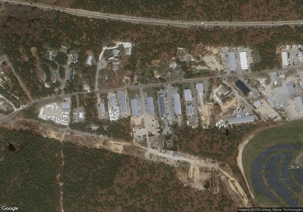
Map
Nearby Homes
- 3 Bittersweet Ln
- 2 Bassett Woods Rd
- 3 Bentley Rd
- 12 Old Campground Rd
- 18 Old Campground
- 159 Pleasant Lake Ave
- 135 Sisson Rd
- 16 Long Pond Dr
- 11 Windjammer Rd
- 14 2nd St
- 91 Depot Rd W
- 116 Parallel St
- 64 Smith St
- 292 Route 28 Unit 7
- 11 Lane Rd
- 264 Massachusetts 28
- 9 Mansion St
- 9 Bells Neck Rd Unit 10
- 37 Cyprus Rd
- 297 Massachusetts 28
- 129 Queen Anne Rd Unit B
- 129 Queen Anne Rd Unit A
- 129 Queen Anne Rd Unit D
- 129 Queen Anne Rd Unit C
- 0 Oueen Anne
- 133 Queen Anne Rd
- 0 Queen Anne Rd
- 0 Queen Anne Rd Unit 1 9902548
- 0 Queen Anne Rd Unit 4 9902543
- 0 Queen Anne Rd Unit 14 2000259
- 0 Queen Anne Rd Unit 17 9902549
- 0 Queen Anne Rd Unit 9 9902546
- 0 Queen Anne Rd Unit 16 9902724
- 0 Queen Anne Rd Unit 18 9902726
- 0 Queen Anne Rd Unit 8 9902739
- 0 Queen Anne Rd Unit 9902722
- 0 Queen Anne Rd Unit 7033224
- 0 Queen Anne Rd Unit 7029031
- 0 Queen Anne Rd Unit 7033235
- 0 Queen Anne Rd Unit 16 8044304