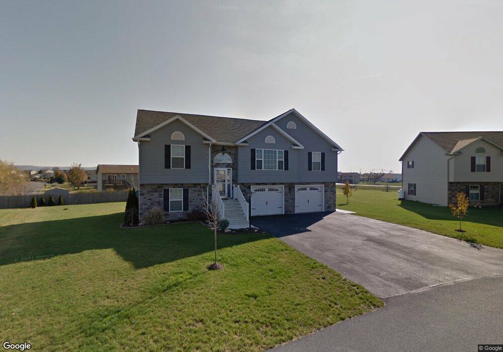
129 Quentin Cir Shippensburg, PA 17257
Estimated Value: $335,000 - $410,878
4
Beds
3
Baths
2,400
Sq Ft
$156/Sq Ft
Est. Value
About This Home
This home is located at 129 Quentin Cir, Shippensburg, PA 17257 and is currently estimated at $373,970, approximately $155 per square foot. 129 Quentin Cir is a home located in Franklin County with nearby schools including Shippensburg Area Senior High School, Stoney Creek School, and Clearfield Parochial School.
Ownership History
Date
Name
Owned For
Owner Type
Purchase Details
Closed on
May 28, 2009
Sold by
M T M Development Inc
Bought by
Lynch Jason R and Lynch Christina N
Current Estimated Value
Home Financials for this Owner
Home Financials are based on the most recent Mortgage that was taken out on this home.
Original Mortgage
$161,000
Outstanding Balance
$101,996
Interest Rate
4.82%
Mortgage Type
New Conventional
Estimated Equity
$271,974
Create a Home Valuation Report for This Property
The Home Valuation Report is an in-depth analysis detailing your home's value as well as a comparison with similar homes in the area
Home Values in the Area
Average Home Value in this Area
Purchase History
| Date | Buyer | Sale Price | Title Company |
|---|---|---|---|
| Lynch Jason R | $217,900 | None Available |
Source: Public Records
Mortgage History
| Date | Status | Borrower | Loan Amount |
|---|---|---|---|
| Open | Lynch Jason R | $161,000 |
Source: Public Records
Tax History Compared to Growth
Tax History
| Year | Tax Paid | Tax Assessment Tax Assessment Total Assessment is a certain percentage of the fair market value that is determined by local assessors to be the total taxable value of land and additions on the property. | Land | Improvement |
|---|---|---|---|---|
| 2025 | $3,790 | $25,600 | $2,140 | $23,460 |
| 2024 | $3,316 | $25,600 | $2,140 | $23,460 |
| 2023 | $3,249 | $25,600 | $2,140 | $23,460 |
| 2022 | $3,227 | $25,600 | $2,140 | $23,460 |
| 2021 | $3,132 | $25,600 | $2,140 | $23,460 |
| 2020 | $3,290 | $25,600 | $2,140 | $23,460 |
| 2019 | $3,260 | $25,600 | $2,140 | $23,460 |
| 2018 | $3,320 | $25,600 | $2,140 | $23,460 |
| 2017 | $3,346 | $25,600 | $2,140 | $23,460 |
| 2016 | $714 | $25,500 | $2,140 | $23,360 |
| 2015 | $664 | $25,500 | $2,140 | $23,360 |
| 2014 | $664 | $25,500 | $2,140 | $23,360 |
Source: Public Records
Map
Nearby Homes
- 1047 Celeste Dr
- 1123 Ashton Dr
- 0 Central Way
- 432 Kara Way
- 989 Ashton Dr
- 255 Grove Dr
- 257 Grove Dr
- 1768 Orrstown Rd
- 59 Maizefield Dr
- 11268 Thornwood Rd
- 22 Maizefield Dr
- 700 Municipal Dr
- 610 Westover Rd
- 136 Park Place E
- 201 Baker & Russell Dr
- 611 Prospect Ave
- 118 Baker and Russell Dr
- 108 Baker and Russell Dr
- 32 Stewart Place
- 184 Park Heights Ave
- 127 Quentin Cir
- 342 Holswart Dr
- 131 Quentin Cir
- 348 Holswart Dr
- 116 Quentin Cir
- 336 Holswart Dr
- 125 Quentin Cir
- 114 Quentin Cir
- 133 Quentin Cir
- 354 Holswart Dr
- 118 Quentin Cir
- 330 Holswart Dr
- 343 Holswart Dr
- 1233 Ashton Dr
- 214 Grayson Cir
- 135 Quentin Cir
- 1245 Ashton Dr
- 123 Quentin Cir
- 349 Holswart Dr
- 337 Holswart Dr