129 Roehampton Ln Weldon Spring, MO 63304
Estimated Value: $860,196 - $1,112,000
4
Beds
5
Baths
3,958
Sq Ft
$254/Sq Ft
Est. Value
About This Home
This home is located at 129 Roehampton Ln, Weldon Spring, MO 63304 and is currently estimated at $1,006,549, approximately $254 per square foot. 129 Roehampton Ln is a home located in St. Charles County with nearby schools including Independence Elementary School, Bryan Middle School, and Francis Howell Union High School.
Ownership History
Date
Name
Owned For
Owner Type
Purchase Details
Closed on
Aug 31, 2017
Sold by
Heiland Michael T
Bought by
Heiland Michael T and Michael T Heiland Trust
Current Estimated Value
Purchase Details
Closed on
Mar 27, 2017
Sold by
Heiland Michael T and Heiland Sharon L
Bought by
Heiland Michael T
Home Financials for this Owner
Home Financials are based on the most recent Mortgage that was taken out on this home.
Original Mortgage
$500,000
Interest Rate
4.15%
Mortgage Type
New Conventional
Create a Home Valuation Report for This Property
The Home Valuation Report is an in-depth analysis detailing your home's value as well as a comparison with similar homes in the area
Home Values in the Area
Average Home Value in this Area
Purchase History
| Date | Buyer | Sale Price | Title Company |
|---|---|---|---|
| Heiland Michael T | -- | None Available | |
| Heiland Michael T | -- | Continental Title |
Source: Public Records
Mortgage History
| Date | Status | Borrower | Loan Amount |
|---|---|---|---|
| Closed | Heiland Michael T | $500,000 |
Source: Public Records
Tax History
| Year | Tax Paid | Tax Assessment Tax Assessment Total Assessment is a certain percentage of the fair market value that is determined by local assessors to be the total taxable value of land and additions on the property. | Land | Improvement |
|---|---|---|---|---|
| 2025 | $8,799 | $163,869 | -- | -- |
| 2023 | $8,795 | $147,942 | $0 | $0 |
| 2022 | $7,992 | $124,879 | $0 | $0 |
| 2021 | $8,000 | $124,879 | $0 | $0 |
| 2020 | $7,355 | $111,123 | $0 | $0 |
| 2019 | $7,322 | $111,123 | $0 | $0 |
| 2018 | $7,565 | $109,791 | $0 | $0 |
| 2017 | $7,502 | $109,791 | $0 | $0 |
| 2016 | $7,308 | $103,008 | $0 | $0 |
| 2015 | $7,265 | $103,008 | $0 | $0 |
| 2014 | $7,219 | $99,285 | $0 | $0 |
Source: Public Records
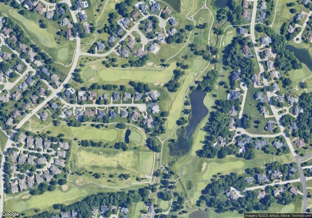
Map
Nearby Homes
- 6 Whitmoor Ct
- 149 Shaelah Ct
- 1094 Whitmoor Dr
- 862 Whitmoor Dr
- 50 Crocknaraw Ln
- 5013 Royal Burgess Dr
- 59 W Meath Ring
- 74 W Meath Ring
- 4 Upper Whitmoor Dr
- 1317 Renaissance Place
- 4489 Austin Valley Ct
- 323 San Marco Way
- 102 Enclave Terrace Ct
- 3624 Capri Way
- 4108 Millers Ridge
- 3424 Capri Way
- 828 Nancy Ln
- 4923 Dresden Way
- 1248 Shirley Ridge Dr Unit 7C
- 42 Windcastle Place
- 130 Roehampton Ln
- 128 Roehampton Ln
- 127 Roehampton Ln
- 131 Roehampton Ln
- 132 Roehampton Ln
- 126 Roehampton Ln
- 133 Roehampton Ln
- 125 Roehampton Ln
- 134 Roehampton Ln
- 124 Roehampton Ln
- 103 Glendalough Ct
- 104 Glendalough Ct
- 135 Roehampton Ln
- 101 Glendalough Ln
- 123 Roehampton Ln
- 102 Glendalough Ln
- 107 Glendalough Ln
- 709 Cullenmor Hill Dr
- 711 Cullenmor Hill Dr
- 707 Cullenmor Hill Dr
Your Personal Tour Guide
Ask me questions while you tour the home.