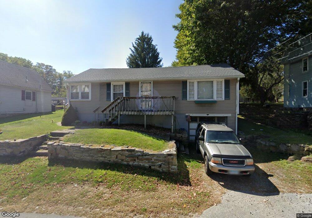
129 Route 2a Preston, CT 06365
Estimated Value: $199,000 - $306,000
3
Beds
2
Baths
1,002
Sq Ft
$274/Sq Ft
Est. Value
About This Home
This home is located at 129 Route 2a, Preston, CT 06365 and is currently estimated at $274,638, approximately $274 per square foot. 129 Route 2a is a home located in New London County with nearby schools including Integrated Day Charter School and St. Joseph School.
Ownership History
Date
Name
Owned For
Owner Type
Purchase Details
Closed on
Nov 21, 2000
Sold by
Spicer Ann M
Bought by
Casfuy Beverly A and Coleman Ronald P
Current Estimated Value
Home Financials for this Owner
Home Financials are based on the most recent Mortgage that was taken out on this home.
Original Mortgage
$60,000
Interest Rate
7.78%
Purchase Details
Closed on
Mar 25, 1993
Sold by
Department Of Housing & Urban Dev
Bought by
Spicer Park C and Spicer Ann
Home Financials for this Owner
Home Financials are based on the most recent Mortgage that was taken out on this home.
Original Mortgage
$43,200
Interest Rate
6.75%
Mortgage Type
Unknown
Purchase Details
Closed on
Sep 23, 1988
Sold by
Mcmahon John
Bought by
Bonnette Ronald
Create a Home Valuation Report for This Property
The Home Valuation Report is an in-depth analysis detailing your home's value as well as a comparison with similar homes in the area
Home Values in the Area
Average Home Value in this Area
Purchase History
| Date | Buyer | Sale Price | Title Company |
|---|---|---|---|
| Casfuy Beverly A | $60,000 | -- | |
| Spicer Park C | $54,000 | -- | |
| Bonnette Ronald | $99,000 | -- |
Source: Public Records
Mortgage History
| Date | Status | Borrower | Loan Amount |
|---|---|---|---|
| Open | Bonnette Ronald | $112,500 | |
| Closed | Bonnette Ronald | $92,100 | |
| Closed | Bonnette Ronald | $60,000 | |
| Previous Owner | Bonnette Ronald | $43,200 |
Source: Public Records
Tax History
| Year | Tax Paid | Tax Assessment Tax Assessment Total Assessment is a certain percentage of the fair market value that is determined by local assessors to be the total taxable value of land and additions on the property. | Land | Improvement |
|---|---|---|---|---|
| 2025 | $3,181 | $126,700 | $38,920 | $87,780 |
| 2024 | $2,961 | $126,700 | $38,920 | $87,780 |
| 2023 | $2,908 | $126,700 | $38,920 | $87,780 |
| 2022 | $2,565 | $92,000 | $31,800 | $60,200 |
| 2021 | $2,478 | $92,000 | $31,800 | $60,200 |
| 2020 | $2,475 | $92,000 | $31,800 | $60,200 |
| 2019 | $2,432 | $92,000 | $31,800 | $60,200 |
| 2018 | $2,395 | $92,000 | $31,800 | $60,200 |
| 2017 | $2,357 | $98,200 | $32,800 | $65,400 |
| 2016 | $2,332 | $98,200 | $32,800 | $65,400 |
| 2015 | $2,259 | $98,200 | $32,800 | $65,400 |
| 2014 | $2,272 | $98,200 | $32,800 | $65,400 |
Source: Public Records
Map
Nearby Homes
- 104 Route 2a
- 11 Willow Ln
- 36 Route 2a
- 7 Halls Mill Rd
- 15 Paster Rd
- 256 Route 2
- 3 Holdsworth Rd
- 16 Marlene Dr
- 10 Buttercup Ln
- 31 Woodland Dr
- 4 N Glenwoods Rd
- 5 Mount Laurel Rd
- 1918 Route 12
- 547 Old Laurel Hill Rd
- 278 Palmer Street Extension
- 105 Stonington Rd
- 14 Abbey Rd
- 12 Stonybrook Rd
- 16 Abbey Rd
- 23 Avery Hill Rd
- 131 Route 2a
- 125 Route 2a
- 125 Route 2a Unit cottage - unit 2
- 13 Shingle Point Rd
- 127 Route 2a
- 1 Shingle Point Rd
- 134 2a Route
- 134 Rt2a Route
- 126 Route 2a
- 130 Route 2a
- 132 Route 2a
- 135 Route 2a
- 119 Connecticut 2a
- 119 Rt 2a Route
- 119 Route 2a
- 134 Route 2a
- 119 Route 2a
- 136 Route 2a
- 3 Cider Mill Rd
- 5 Shingle Point Rd
Your Personal Tour Guide
Ask me questions while you tour the home.