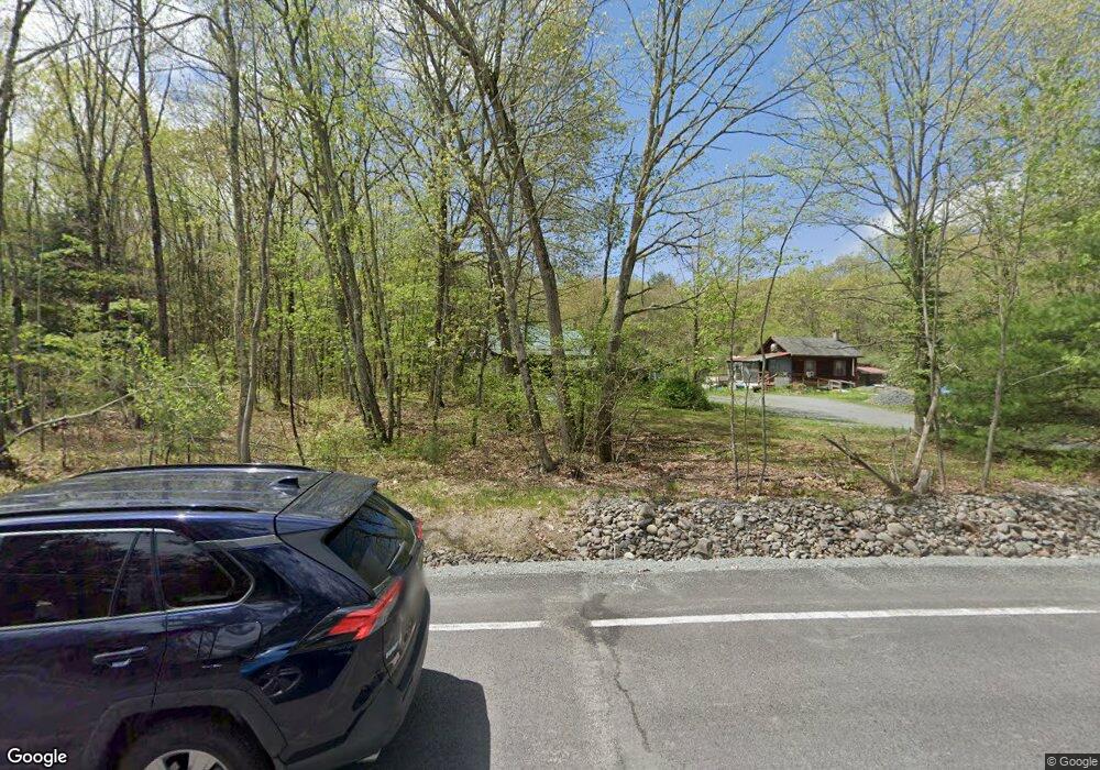
129 Route 739 Hawley, PA 18428
Estimated Value: $42,000 - $242,303
3
Beds
1
Bath
1,260
Sq Ft
$115/Sq Ft
Est. Value
About This Home
This home is located at 129 Route 739, Hawley, PA 18428 and is currently estimated at $144,576, approximately $114 per square foot. 129 Route 739 is a home with nearby schools including Wallenpaupack Area High School.
Ownership History
Date
Name
Owned For
Owner Type
Purchase Details
Closed on
Aug 12, 2025
Sold by
Danny Bakker And Linda Bakker Living Tru and Weis Stephanie
Bought by
Korfmann Robert J
Current Estimated Value
Purchase Details
Closed on
Jul 28, 2021
Sold by
Danny Bakker And Linda Bakker Liv Tr
Bought by
Hohfeler Marla G and Barron Thomas R
Purchase Details
Closed on
Feb 10, 2021
Sold by
Leach Marie J Savage and Estate Of Virginia Savage
Bought by
Department Of Transportation
Purchase Details
Closed on
Jun 5, 2019
Sold by
Danny Bakker And Linda Bakker Liv Tr
Bought by
Commonwealth Of Pennsylvania
Purchase Details
Closed on
Nov 15, 2018
Sold by
Bakker Linda
Bought by
The Danny Bakker And Linda Bakker Living
Create a Home Valuation Report for This Property
The Home Valuation Report is an in-depth analysis detailing your home's value as well as a comparison with similar homes in the area
Home Values in the Area
Average Home Value in this Area
Purchase History
| Date | Buyer | Sale Price | Title Company |
|---|---|---|---|
| Korfmann Robert J | $220,000 | None Listed On Document | |
| Hohfeler Marla G | $13,810 | None Available | |
| Department Of Transportation | -- | None Available | |
| Commonwealth Of Pennsylvania | -- | None Available | |
| The Danny Bakker And Linda Bakker Living | -- | None Available |
Source: Public Records
Tax History Compared to Growth
Tax History
| Year | Tax Paid | Tax Assessment Tax Assessment Total Assessment is a certain percentage of the fair market value that is determined by local assessors to be the total taxable value of land and additions on the property. | Land | Improvement |
|---|---|---|---|---|
| 2025 | $2,142 | $19,110 | $7,090 | $12,020 |
| 2024 | $2,142 | $19,110 | $7,090 | $12,020 |
| 2023 | $2,061 | $19,110 | $7,090 | $12,020 |
| 2022 | $1,984 | $19,110 | $7,090 | $12,020 |
| 2021 | $2,284 | $22,320 | $10,300 | $12,020 |
| 2020 | $2,284 | $22,320 | $10,300 | $12,020 |
| 2019 | $2,225 | $22,460 | $10,440 | $12,020 |
| 2018 | $2,187 | $22,460 | $10,440 | $12,020 |
| 2017 | $2,107 | $22,460 | $10,440 | $12,020 |
| 2016 | $0 | $22,460 | $10,440 | $12,020 |
| 2014 | -- | $22,460 | $10,440 | $12,020 |
Source: Public Records
Map
Nearby Homes
- 123 Center Trail
- 119 Harmony Dr
- 111 Ranger Rd
- 112 Swamp Brook Path
- Lot 124 Springwood Dr
- 82 Blue Heron Way
- Lot 27 Blue Heron Way
- Lot 6 Pennsylvania 739
- 155 Blooming Grove Rd
- 0 Well Rd
- 151 Wedgewood Dr
- 298 White Deer Lake Rd
- 226 Well Rd
- 248 Well Rd
- 19-C-881 Whispering Pines
- 153 Hatton Rd
- 501 Towpath Rd
- 511 Towpath Rd
- 120 Galahad Rd
- 300 Pennsylvania 590