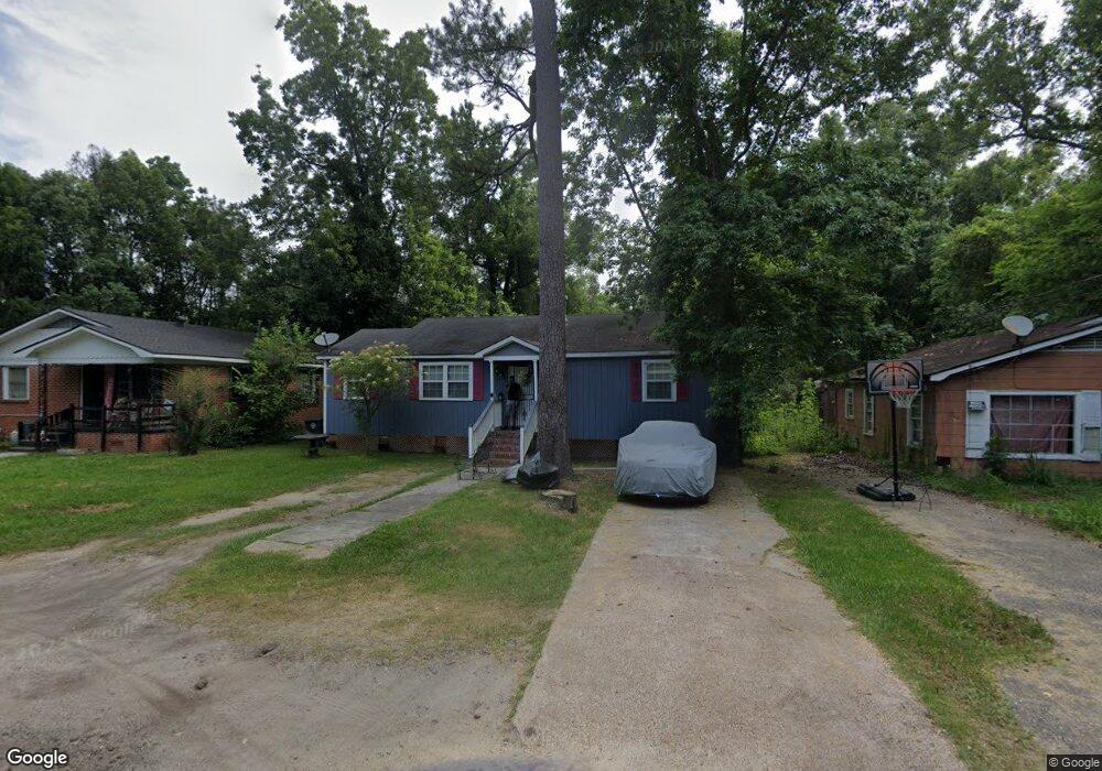
129 Sibert St Mobile, AL 36610
East Prichard NeighborhoodEstimated Value: $42,000 - $51,555
Studio
1
Bath
1,215
Sq Ft
$39/Sq Ft
Est. Value
About This Home
This home is located at 129 Sibert St, Mobile, AL 36610 and is currently estimated at $47,889, approximately $39 per square foot. 129 Sibert St is a home located in Mobile County with nearby schools including Whitley Elementary School, Mobile Co Training Middle School, and Vigor High School.
Ownership History
Date
Name
Owned For
Owner Type
Purchase Details
Closed on
Oct 26, 2023
Sold by
Hudson Mr Damon Lemonte
Bought by
Hudson Mrs Monica Anderson
Current Estimated Value
Purchase Details
Closed on
Jun 24, 2002
Sold by
Powe Prentice
Bought by
Hudson Damon and Hudson Monica Anderson
Home Financials for this Owner
Home Financials are based on the most recent Mortgage that was taken out on this home.
Original Mortgage
$8,966
Interest Rate
5%
Mortgage Type
Seller Take Back
Create a Home Valuation Report for This Property
The Home Valuation Report is an in-depth analysis detailing your home's value as well as a comparison with similar homes in the area
Home Values in the Area
Average Home Value in this Area
Purchase History
| Date | Buyer | Sale Price | Title Company |
|---|---|---|---|
| Hudson Mrs Monica Anderson | $1,000 | None Listed On Document | |
| Hudson Damon | $16,000 | -- |
Source: Public Records
Mortgage History
| Date | Status | Borrower | Loan Amount |
|---|---|---|---|
| Previous Owner | Hudson Damon | $8,966 |
Source: Public Records
Tax History
| Year | Tax Paid | Tax Assessment Tax Assessment Total Assessment is a certain percentage of the fair market value that is determined by local assessors to be the total taxable value of land and additions on the property. | Land | Improvement |
|---|---|---|---|---|
| 2025 | $529 | $8,440 | $800 | $7,640 |
| 2024 | $529 | $8,060 | $420 | $7,640 |
| 2023 | $496 | $9,180 | $500 | $8,680 |
| 2022 | $556 | $9,040 | $500 | $8,540 |
| 2021 | $546 | $4,440 | $250 | $4,190 |
| 2020 | $226 | $4,750 | $250 | $4,500 |
| 2019 | $221 | $4,680 | $0 | $0 |
| 2018 | $221 | $4,680 | $0 | $0 |
| 2017 | $221 | $4,680 | $0 | $0 |
| 2016 | $197 | $4,800 | $0 | $0 |
| 2013 | $197 | $4,200 | $0 | $0 |
Source: Public Records
Map
Nearby Homes
- 101 Diaz St
- 0 N Wilson Ave Unit 7685671
- 0 N Wilson Ave Unit 388456
- 135 E Petain St
- 421 W Foch St Unit 15,16
- 421 Foch St
- 1106 Jackson Ave
- 510 Iowa Ave
- 213 Book Ave
- 719 Saxon St
- 802 E Elm St
- 1406 Lee St
- 328 Glendale St
- 419 Telegraph Rd
- 407 Garrison Ave
- 116 Grant Cir
- 302 S Price Ave
- 1201 W Turner Rd
- 317 W Main St
- 1112 Newman Ln
- 133 Sibert St
- 125 Sibert St
- 140 E Turner Rd
- 121 Sibert St
- 132 Sibert St
- 132 E Turner Rd
- 146 E Turner Rd
- 126 E Turner Rd
- 122 Sibert St
- 153 Peterson Rd
- 157 Peterson Rd
- 137 E Turner Rd
- 0 Peterson Rd Unit 8THRU11
- 123 Peterson Rd
- 924 N Wilson Ave
- 142 Peterson Rd
- 123 E Turner Rd
- 138 Peterson Rd
- 134 Peterson Rd
- 109 Diaz St
Your Personal Tour Guide
Ask me questions while you tour the home.