129 Smohalla Ct Waleska, GA 30183
Estimated Value: $1,029,000 - $1,136,000
4
Beds
3
Baths
2,944
Sq Ft
$365/Sq Ft
Est. Value
About This Home
This home is located at 129 Smohalla Ct, Waleska, GA 30183 and is currently estimated at $1,075,332, approximately $365 per square foot. 129 Smohalla Ct is a home located in Cherokee County with nearby schools including R. M. Moore Elementary School, Teasley Middle School, and Cherokee High School.
Ownership History
Date
Name
Owned For
Owner Type
Purchase Details
Closed on
Jan 12, 2010
Sold by
Jp Morgan Chase Bank Na
Bought by
Wehe Donald L and Wehe Marrilyn F
Current Estimated Value
Home Financials for this Owner
Home Financials are based on the most recent Mortgage that was taken out on this home.
Original Mortgage
$276,000
Outstanding Balance
$181,118
Interest Rate
4.94%
Mortgage Type
Stand Alone Second
Estimated Equity
$894,214
Purchase Details
Closed on
Nov 3, 2009
Sold by
Kelly Kevin J
Bought by
Jpmorgan Chase Bank Na
Create a Home Valuation Report for This Property
The Home Valuation Report is an in-depth analysis detailing your home's value as well as a comparison with similar homes in the area
Home Values in the Area
Average Home Value in this Area
Purchase History
| Date | Buyer | Sale Price | Title Company |
|---|---|---|---|
| Wehe Donald L | $345,000 | -- | |
| Jpmorgan Chase Bank Na | $279,999 | -- |
Source: Public Records
Mortgage History
| Date | Status | Borrower | Loan Amount |
|---|---|---|---|
| Open | Wehe Donald L | $276,000 |
Source: Public Records
Tax History Compared to Growth
Tax History
| Year | Tax Paid | Tax Assessment Tax Assessment Total Assessment is a certain percentage of the fair market value that is determined by local assessors to be the total taxable value of land and additions on the property. | Land | Improvement |
|---|---|---|---|---|
| 2024 | $9,410 | $362,100 | $124,800 | $237,300 |
| 2023 | $4,730 | $349,020 | $123,240 | $225,780 |
| 2022 | $2,937 | $251,700 | $123,240 | $128,460 |
| 2021 | $2,897 | $231,220 | $123,240 | $107,980 |
| 2020 | $2,751 | $222,832 | $123,240 | $99,592 |
| 2019 | $2,574 | $213,040 | $119,600 | $93,440 |
| 2018 | $2,110 | $188,120 | $104,000 | $84,120 |
| 2017 | $2,236 | $473,200 | $104,000 | $85,280 |
| 2016 | $2,321 | $476,000 | $104,000 | $86,400 |
| 2015 | $2,353 | $474,700 | $104,000 | $85,880 |
| 2014 | $2,111 | $443,700 | $104,000 | $73,480 |
Source: Public Records
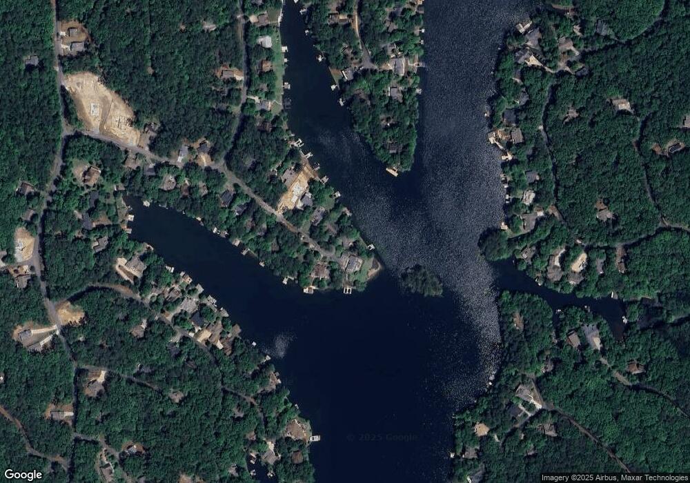
Map
Nearby Homes
- 109 Smohalla Ct
- 161 Broadwater Ct
- 117 Lakeview Cir
- 325 Hillside Dr
- 134 Broadwater Ct
- 206 White Antelope St Unit 3
- 197 White Antelope St
- 270 Lakewood Dr
- 285 Hillside Dr
- 105 Pueblo Ct
- 114 Mink Ct Unit 3
- 166 Douglas Fir Dr
- 158 Lone Bear Dr
- 176 Narrows Dr
- 154 Council Oak Loop
- 137 Narrows Loop
- 219 Narrows Dr
- 130 Smohalla Ct
- 125 Smohalla Ct Unit 1179
- 125 Smohalla Ct
- 126 Smohalla Ct
- 121 Smohalla Ct
- 117 Smohalla Ct
- 118 Smohalla Ct
- 113 Smohalla Ct
- 114 Smohalla Ct
- 0 Smohalla Ct Unit 8582867
- 0 Smohalla Ct Unit 8293986
- 0 Smohalla Ct Unit 8403637
- 0 Smohalla Ct Unit 8734123
- 0 Smohalla Ct Unit 8787644
- 0 Smohalla Ct Unit 8847054
- 0 Smohalla Ct Unit 3242111
- 0 Smohalla Ct Unit 3251367
- 0 Smohalla Ct Unit 7464790
- 0 Smohalla Ct Unit 7582733
- 0 Smohalla Ct Unit 8092453