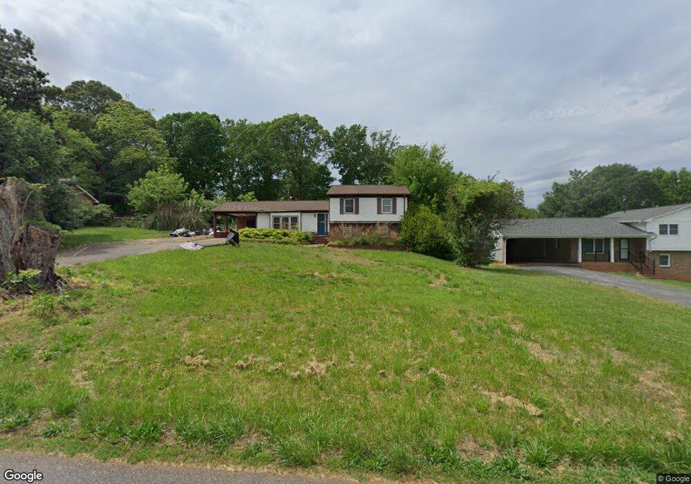
129 Sprouse Rd Spartanburg, SC 29307
Estimated Value: $250,830 - $279,000
3
Beds
3
Baths
1,848
Sq Ft
$143/Sq Ft
Est. Value
About This Home
This home is located at 129 Sprouse Rd, Spartanburg, SC 29307 and is currently estimated at $263,708, approximately $142 per square foot. 129 Sprouse Rd is a home located in Spartanburg County with nearby schools including Broome High School and Spartanburg Day School.
Ownership History
Date
Name
Owned For
Owner Type
Purchase Details
Closed on
Aug 30, 2016
Sold by
Revels Cheryl M
Bought by
Brown Angela M
Current Estimated Value
Home Financials for this Owner
Home Financials are based on the most recent Mortgage that was taken out on this home.
Original Mortgage
$157,203
Outstanding Balance
$126,511
Interest Rate
3.75%
Mortgage Type
FHA
Estimated Equity
$137,197
Purchase Details
Closed on
Jul 28, 2009
Sold by
Senn Kim D and Senn Judy J
Bought by
Revels Cheryl M
Home Financials for this Owner
Home Financials are based on the most recent Mortgage that was taken out on this home.
Original Mortgage
$124,000
Interest Rate
5.26%
Mortgage Type
Future Advance Clause Open End Mortgage
Create a Home Valuation Report for This Property
The Home Valuation Report is an in-depth analysis detailing your home's value as well as a comparison with similar homes in the area
Home Values in the Area
Average Home Value in this Area
Purchase History
| Date | Buyer | Sale Price | Title Company |
|---|---|---|---|
| Brown Angela M | $161,500 | None Available | |
| Revels Cheryl M | $155,000 | -- |
Source: Public Records
Mortgage History
| Date | Status | Borrower | Loan Amount |
|---|---|---|---|
| Open | Brown Angela M | $157,203 | |
| Previous Owner | Revels Cheryl M | $124,000 |
Source: Public Records
Tax History Compared to Growth
Tax History
| Year | Tax Paid | Tax Assessment Tax Assessment Total Assessment is a certain percentage of the fair market value that is determined by local assessors to be the total taxable value of land and additions on the property. | Land | Improvement |
|---|---|---|---|---|
| 2025 | $1,497 | $8,260 | $804 | $7,456 |
| 2024 | $1,497 | $8,260 | $804 | $7,456 |
| 2023 | $1,497 | $8,260 | $804 | $7,456 |
| 2022 | $1,383 | $7,424 | $591 | $6,833 |
| 2021 | $1,383 | $7,424 | $591 | $6,833 |
| 2020 | $1,361 | $7,424 | $591 | $6,833 |
| 2019 | $1,567 | $7,424 | $591 | $6,833 |
| 2018 | $1,279 | $7,424 | $591 | $6,833 |
| 2017 | $4,109 | $9,684 | $900 | $8,784 |
| 2016 | $992 | $6,124 | $600 | $5,524 |
| 2015 | $974 | $6,044 | $600 | $5,444 |
| 2014 | $969 | $6,044 | $600 | $5,444 |
Source: Public Records
Map
Nearby Homes
- 215 Penny Bennett Rd
- 1926 Bud Arthur Bridge Rd
- 204 Bennett Dairy Rd
- 124 Childress Rd
- 230 Idlewood Cir
- 655 Idlewood Cir
- 000 Burns Rd Unit LOT 1
- 000 Burns Rd
- 000 Burns Rd Unit LOT 2
- 112 Riverview Park
- 49 Thurgood Marshall Rd
- Lot 31 State Road S-42-2288
- 0 Old Converse Rd
- 3091 E Main Street Extension
- 250 Leeds Ln
- 270 Leeds Ln
- 3025 E Main Street Extension
- 276 Saranac Dr
- 4026 Mancini Rd
- 9015 Margot Place
- 133 Sprouse Rd
- 125 Sprouse Rd
- 137 Sprouse Rd
- 139 Carlisle Bennett Rd
- 113 Carlisle Bennett Rd
- 130 Sprouse Rd
- 143 Carlisle Bennett Rd
- 121 Sprouse Rd
- 138 Sprouse Rd
- 126 Sprouse Rd
- 147 Carlisle Bennett Rd
- 103 Carlisle Bennett Rd
- 105 Carlisle Bennett Rd
- 142 Sprouse Rd
- 122 Sprouse Rd
- 151 Carlisle Bennett Rd
- 117 Sprouse Rd
- 142 Mabry Rd
- 146 Mabry Rd
- 146 Sprouse Rd