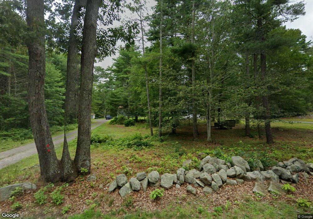
129 Spruce St Middleboro, MA 02346
3
Beds
2
Baths
3,828
Sq Ft
4
Acres
About This Home
This home is located at 129 Spruce St, Middleboro, MA 02346. 129 Spruce St is a home located in Plymouth County with nearby schools including Mary K. Goode Elementary School.
Ownership History
Date
Name
Owned For
Owner Type
Purchase Details
Closed on
Sep 1, 2020
Sold by
Maddigan Kenneth R and Maddigan Diane A
Bought by
Maddigan Kenneth R and Maddigan Diane A
Purchase Details
Closed on
Jul 12, 2010
Sold by
Spouter Inn Rt and Maddigan Kenneth R
Bought by
Faidell Amanda G and Tessier Kellie Rose
Purchase Details
Closed on
Feb 3, 1983
Bought by
Maddigan Kenneth and Maddigan Diane
Create a Home Valuation Report for This Property
The Home Valuation Report is an in-depth analysis detailing your home's value as well as a comparison with similar homes in the area
Home Values in the Area
Average Home Value in this Area
Purchase History
| Date | Buyer | Sale Price | Title Company |
|---|---|---|---|
| Maddigan Kenneth R | -- | None Available | |
| Faidell Amanda G | -- | -- | |
| Maddigan Kenneth | -- | -- |
Source: Public Records
Mortgage History
| Date | Status | Borrower | Loan Amount |
|---|---|---|---|
| Previous Owner | Maddigan Kenneth | $50,000 | |
| Previous Owner | Maddigan Kenneth | $135,000 | |
| Previous Owner | Maddigan Kenneth | $37,000 | |
| Previous Owner | Maddigan Kenneth | $35,000 |
Source: Public Records
Tax History Compared to Growth
Tax History
| Year | Tax Paid | Tax Assessment Tax Assessment Total Assessment is a certain percentage of the fair market value that is determined by local assessors to be the total taxable value of land and additions on the property. | Land | Improvement |
|---|---|---|---|---|
| 2025 | -- | $885,900 | $197,500 | $688,400 |
| 2024 | -- | $858,200 | $189,100 | $669,100 |
| 2023 | $0 | $734,700 | $189,100 | $545,600 |
| 2022 | $0 | $653,500 | $166,400 | $487,100 |
| 2021 | $0 | $572,300 | $154,600 | $417,700 |
| 2020 | $0 | $563,700 | $154,600 | $409,100 |
| 2019 | $0 | $392,200 | $154,600 | $237,600 |
| 2018 | $0 | $367,300 | $142,100 | $225,200 |
| 2017 | $0 | $336,200 | $137,300 | $198,900 |
| 2016 | -- | $334,600 | $130,700 | $203,900 |
| 2015 | -- | $324,300 | $130,700 | $193,600 |
Source: Public Records
Map
Nearby Homes
- 38 John Perkins Way
- 562 North Ave
- 558 Wareham St
- 571 Wareham St
- 3 Sarah Reed Hunt Way
- 30 Ridge Dr
- 31 Sarah Reed Hunt Way
- 28 Wareham St
- 21 Bennett Rd
- 146 Miller St
- 664 Wareham St
- 167 Old Miller St
- 709 Walnut Plain Rd
- 663 Wareham St Unit 8
- 150 Ryder Rd
- 714 Snipatuit Rd
- 480 Wareham St
- Rear Wareham St
- 441 Wareham St
- 386 Wareham St