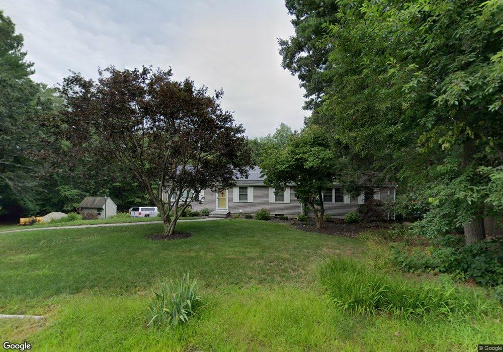
129 State St Hanson, MA 02341
Estimated Value: $604,395 - $656,000
4
Beds
2
Baths
1,528
Sq Ft
$417/Sq Ft
Est. Value
About This Home
This home is located at 129 State St, Hanson, MA 02341 and is currently estimated at $637,349, approximately $417 per square foot. 129 State St is a home located in Plymouth County with nearby schools including Cadence Academy Preschool - Hanover and Cardinal Cushing Centers.
Ownership History
Date
Name
Owned For
Owner Type
Purchase Details
Closed on
Apr 8, 2020
Sold by
Wessling Ft
Bought by
Wessling Ft
Current Estimated Value
Purchase Details
Closed on
May 21, 2014
Sold by
Wessling Joseph F and Wessling Judith M
Bought by
Wessling Ft and Wessling Joseph F
Create a Home Valuation Report for This Property
The Home Valuation Report is an in-depth analysis detailing your home's value as well as a comparison with similar homes in the area
Home Values in the Area
Average Home Value in this Area
Purchase History
| Date | Buyer | Sale Price | Title Company |
|---|---|---|---|
| Wessling Ft | -- | None Available | |
| Wessling Ft | -- | -- |
Source: Public Records
Tax History
| Year | Tax Paid | Tax Assessment Tax Assessment Total Assessment is a certain percentage of the fair market value that is determined by local assessors to be the total taxable value of land and additions on the property. | Land | Improvement |
|---|---|---|---|---|
| 2025 | $6,529 | $488,000 | $191,600 | $296,400 |
| 2024 | $6,400 | $478,300 | $186,100 | $292,200 |
| 2023 | $6,307 | $444,800 | $186,100 | $258,700 |
| 2022 | $6,104 | $404,500 | $169,200 | $235,300 |
| 2021 | $5,463 | $361,800 | $162,700 | $199,100 |
| 2020 | $5,381 | $352,400 | $157,100 | $195,300 |
| 2019 | $5,159 | $332,200 | $154,100 | $178,100 |
| 2018 | $5,099 | $322,100 | $148,200 | $173,900 |
| 2017 | $4,943 | $309,300 | $141,100 | $168,200 |
| 2016 | $4,886 | $295,200 | $141,200 | $154,000 |
| 2015 | $4,642 | $291,600 | $141,200 | $150,400 |
Source: Public Records
Map
Nearby Homes
- 339 State St
- 177 Dwelley St
- 353 Cross St
- 269 Lakeside Rd
- 430 Brook Bend Rd
- 134 Crescent St
- 51 Farmside Dr
- 26 Stonebridge Dr
- 7 Farmside Dr
- 285 W Elm St
- 161 Winter St Unit 11
- 66 Wildwood Rd
- 139 Fairwood Dr
- 108 Waterford Dr
- 114 Graham Hill Dr
- 60 Summer Path Way
- Lot 6 Way
- 84 Liberty St
- Lot 5 Princeton Way
- 35 Sproul Rd
Your Personal Tour Guide
Ask me questions while you tour the home.