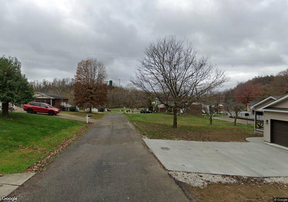
129 Top St Unit 1027 South Point, OH 45680
Burlington NeighborhoodEstimated Value: $110,000 - $195,000
3
Beds
1
Bath
1,312
Sq Ft
$108/Sq Ft
Est. Value
About This Home
This home is located at 129 Top St Unit 1027, South Point, OH 45680 and is currently estimated at $141,160, approximately $107 per square foot. 129 Top St Unit 1027 is a home located in Lawrence County with nearby schools including South Point High School and Grace Christian School.
Ownership History
Date
Name
Owned For
Owner Type
Purchase Details
Closed on
Aug 31, 2020
Sold by
Frazee William D and Frazee Connie S
Bought by
Frazee Willaim D
Current Estimated Value
Purchase Details
Closed on
May 21, 1997
Sold by
Vaughn Hershel L and Vaughn Joan
Bought by
Frazee William D Jr An
Purchase Details
Closed on
Nov 27, 1989
Sold by
Maynard Clyde E and Maynard Sharon
Bought by
Vaughn Hershel L and Vaughn Joan
Create a Home Valuation Report for This Property
The Home Valuation Report is an in-depth analysis detailing your home's value as well as a comparison with similar homes in the area
Home Values in the Area
Average Home Value in this Area
Purchase History
| Date | Buyer | Sale Price | Title Company |
|---|---|---|---|
| Frazee Willaim D | -- | None Available | |
| Frazee William D Jr An | $36,000 | -- | |
| Vaughn Hershel L | $36,000 | -- |
Source: Public Records
Tax History Compared to Growth
Tax History
| Year | Tax Paid | Tax Assessment Tax Assessment Total Assessment is a certain percentage of the fair market value that is determined by local assessors to be the total taxable value of land and additions on the property. | Land | Improvement |
|---|---|---|---|---|
| 2024 | -- | $21,560 | $4,690 | $16,870 |
| 2023 | $659 | $21,560 | $4,690 | $16,870 |
| 2022 | $656 | $21,560 | $4,690 | $16,870 |
| 2021 | $568 | $18,030 | $3,960 | $14,070 |
| 2020 | $583 | $18,030 | $3,960 | $14,070 |
| 2019 | $580 | $18,030 | $3,960 | $14,070 |
| 2018 | $624 | $19,180 | $3,880 | $15,300 |
| 2017 | $623 | $19,180 | $3,880 | $15,300 |
| 2016 | $578 | $19,180 | $3,880 | $15,300 |
| 2015 | $530 | $17,200 | $3,880 | $13,320 |
| 2014 | $529 | $17,200 | $3,880 | $13,320 |
| 2013 | $528 | $17,200 | $3,880 | $13,320 |
Source: Public Records
Map
Nearby Homes
- 320 Township Road 1086
- 6944 County Road 1
- 6478 County Road 1
- 161 Township Road 1020
- 4812 Parkside Place
- 4618 Sunset Dr
- 158 1st St W
- 4226 Magazine Ave
- 283 High St Unit 283 High Street, CER
- 0 Township Road 135
- 4328 Hughes St
- 4322 Hughes St
- 404 Township Road 135
- 4307 Hughes St
- 1110 N Jefferson Dr
- 0 Twp R 135
- 1543 N Jefferson Dr
- 260 Kentucky St
- 41 Township Rd
- 1104 Beech St
- 129 Top St Unit 1430
- 129 Top St Unit 1373
- 59 Township Road 1086 Unit FO-3
- 59 Township Road 1086 Unit TWP
- 59 Township Road 1086
- 43 Township Road 1086 Unit TWP
- 43 Township Road 1086 Unit TWP
- 43 Township Road 1086
- 138 Township Road 1334 Unit GO-6
- 138 Township Road 1334
- 124 Top St Unit 1334
- 124 Top St Unit 1345
- 89 Township Road 1086 Unit TWP
- 89 Township Road 1086 Unit KO-3
- 89 Township Road 1086
- 6675 County Road 1
- 46 Township Road 1086 Unit TWP
- 6663 County Road 1
- 90 Township Road 1086 Unit TWP
- 6651 County Road 1