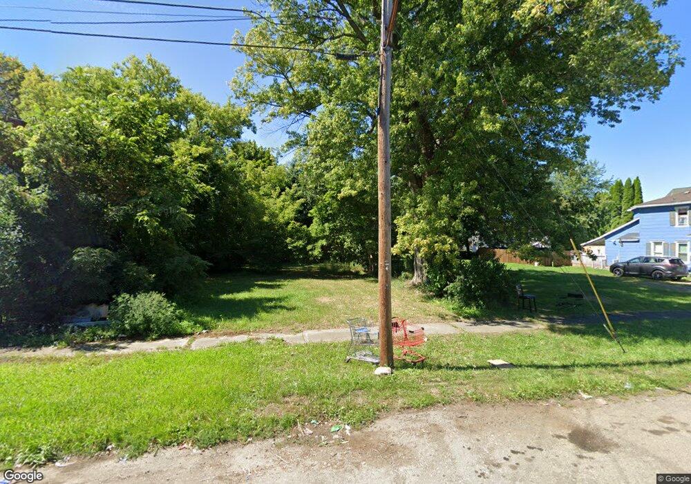
129 Townsend St Dunkirk, NY 14048
Estimated Value: $51,000 - $152,000
3
Beds
1
Bath
839
Sq Ft
$116/Sq Ft
Est. Value
About This Home
This home is located at 129 Townsend St, Dunkirk, NY 14048 and is currently estimated at $97,667, approximately $116 per square foot. 129 Townsend St is a home located in Chautauqua County with nearby schools including Dunkirk Intermediate School, Northern Chautauqua Catholic School, and Central Christian Academy.
Ownership History
Date
Name
Owned For
Owner Type
Purchase Details
Closed on
Jun 7, 2022
Sold by
Chautauqua Cnty Lnd Bk Co
Bought by
Cambria William G
Current Estimated Value
Purchase Details
Closed on
Dec 7, 2021
Sold by
Chautauqua County Of
Bought by
Chautauqua Cnty Lnd Bk Co
Purchase Details
Closed on
Dec 6, 2021
Sold by
County Of Chautauqua
Bought by
Maj Elizabeth B
Purchase Details
Closed on
Feb 17, 2015
Sold by
Krupa Mary
Bought by
Estate Of Elizabeth B Majkut
Purchase Details
Closed on
May 25, 2012
Sold by
Majkut Elizabeth
Bought by
Krupa Mary
Create a Home Valuation Report for This Property
The Home Valuation Report is an in-depth analysis detailing your home's value as well as a comparison with similar homes in the area
Home Values in the Area
Average Home Value in this Area
Purchase History
| Date | Buyer | Sale Price | Title Company |
|---|---|---|---|
| Cambria William G | $300 | None Available | |
| Chautauqua Cnty Lnd Bk Co | -- | None Available | |
| Maj Elizabeth B | -- | None Listed On Document | |
| Estate Of Elizabeth B Majkut | -- | -- | |
| Krupa Mary | $3,250 | -- |
Source: Public Records
Tax History
| Year | Tax Paid | Tax Assessment Tax Assessment Total Assessment is a certain percentage of the fair market value that is determined by local assessors to be the total taxable value of land and additions on the property. | Land | Improvement |
|---|---|---|---|---|
| 2024 | $101 | $2,500 | $2,500 | $0 |
| 2023 | $67 | $2,500 | $2,500 | $0 |
| 2022 | $28 | $2,500 | $2,500 | $0 |
| 2021 | $87 | $2,500 | $2,500 | $0 |
| 2020 | $86 | $2,500 | $2,500 | $0 |
| 2019 | $227 | $2,500 | $2,500 | $0 |
| 2018 | $227 | $6,500 | $2,500 | $4,000 |
| 2017 | $223 | $6,500 | $2,500 | $4,000 |
| 2016 | $217 | $6,500 | $2,500 | $4,000 |
| 2015 | -- | $6,500 | $2,500 | $4,000 |
| 2014 | -- | $6,500 | $2,500 | $4,000 |
Source: Public Records
Map
Nearby Homes
- 115 Nevins St
- 146 Hoyt St
- 236 Townsend St
- 250 Townsend St
- 129 E 2nd St
- 58 Ruggles St
- 140 S Martin St
- 245 Lake Shore Dr E
- 134 S Martin St
- 0 W Benton & Ruggles St Unit R1631836
- 172 S Margay St
- 101 King St
- 21 E Benton St
- 99 King St
- 120 S Ocelot St
- 26 N Ermine St
- 228 King St
- 103 E 7th St
- 447 Hoyt St
- 115 Lake Shore Dr E
- 131 Townsend St
- 135 Townsend St
- 121 Townsend St
- 132 Nevins St
- 132 Townsend St
- 139 Townsend St
- 128 Townsend St
- 130 Townsend St
- 119 Townsend St
- 134 Townsend St
- 116 Nevins St
- 138 Nevins St
- 120 Townsend St
- 143 Townsend St
- 115 Townsend St
- 136 Townsend St
- 118 Townsend St
- 140 Nevins St
- 116 Townsend St
- 145 Townsend St
Your Personal Tour Guide
Ask me questions while you tour the home.