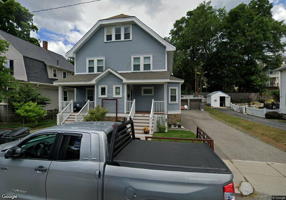
129 Tyndale St Unit 131 Roslindale, MA 02131
Roslindale NeighborhoodEstimated Value: $907,000 - $1,101,039
4
Beds
2
Baths
2,544
Sq Ft
$400/Sq Ft
Est. Value
About This Home
This home is located at 129 Tyndale St Unit 131, Roslindale, MA 02131 and is currently estimated at $1,018,510, approximately $400 per square foot. 129 Tyndale St Unit 131 is a home located in Suffolk County with nearby schools including Brooke Charter School Roslindale, Holy Name Parish School, and St Theresa School.
Ownership History
Date
Name
Owned For
Owner Type
Purchase Details
Closed on
Mar 28, 2007
Sold by
Campbell Daniel J and Campbell Maureen F
Bought by
Oconnor Aaron and Oconnor Sara
Current Estimated Value
Home Financials for this Owner
Home Financials are based on the most recent Mortgage that was taken out on this home.
Original Mortgage
$360,000
Outstanding Balance
$219,812
Interest Rate
6.33%
Mortgage Type
Purchase Money Mortgage
Estimated Equity
$798,698
Create a Home Valuation Report for This Property
The Home Valuation Report is an in-depth analysis detailing your home's value as well as a comparison with similar homes in the area
Home Values in the Area
Average Home Value in this Area
Purchase History
| Date | Buyer | Sale Price | Title Company |
|---|---|---|---|
| Oconnor Aaron | $480,000 | -- |
Source: Public Records
Mortgage History
| Date | Status | Borrower | Loan Amount |
|---|---|---|---|
| Open | Oconnor Aaron | $360,000 |
Source: Public Records
Tax History Compared to Growth
Tax History
| Year | Tax Paid | Tax Assessment Tax Assessment Total Assessment is a certain percentage of the fair market value that is determined by local assessors to be the total taxable value of land and additions on the property. | Land | Improvement |
|---|---|---|---|---|
| 2025 | $10,086 | $871,000 | $324,800 | $546,200 |
| 2024 | $9,940 | $911,900 | $274,700 | $637,200 |
| 2023 | $9,794 | $911,900 | $274,700 | $637,200 |
| 2022 | $9,098 | $836,200 | $251,900 | $584,300 |
| 2021 | $8,498 | $796,400 | $239,900 | $556,500 |
| 2020 | $6,859 | $649,500 | $207,000 | $442,500 |
| 2019 | $6,711 | $636,700 | $188,300 | $448,400 |
| 2018 | $6,237 | $595,100 | $188,300 | $406,800 |
| 2017 | $6,119 | $577,800 | $188,300 | $389,500 |
| 2016 | $6,112 | $555,600 | $188,300 | $367,300 |
| 2015 | $5,838 | $482,100 | $172,600 | $309,500 |
| 2014 | $5,274 | $419,200 | $172,600 | $246,600 |
Source: Public Records
Map
Nearby Homes
- 311 Belgrade Ave
- 257 Belgrade Ave
- 242 Belgrade Ave
- 95 Newburg St
- 15 Newburg St Unit 1
- 26 Bradfield Ave Unit 3
- 416 Belgrade Ave Unit 25
- 17 Metcalf St
- 152 Stratford St
- 10 Burwell Rd
- 103 Belgrade Ave Unit 2
- 1789 Centre St Unit 202
- 79 Robert St Unit 3
- 276 Cornell St
- 112 Roslindale Ave Unit 2
- 80 Roslindale Ave Unit 3
- 0 Averton St
- 34 Averton St
- 142 Birch St
- 142 Birch St Unit 1
- 125 Tyndale St
- 133 Tyndale St
- 50 Guernsey St Unit 52
- 46 Guernsey St Unit 48
- 46-48 Guernsey St
- 121 Tyndale St
- 56 Guernsey St
- 128 Tyndale St
- 1060 South St Unit 1L
- 1060 South St Unit 1
- 1060 South St Unit 2
- 1060 South St
- 1056 South St
- 60 Guernsey St Unit 6
- 60 Guernsey St Unit 4
- 60 Guernsey St Unit 3
- 60 Guernsey St Unit 2
- 60 Guernsey St Unit 1
- 1052 South St Unit 3
- 1052 South St Unit 2