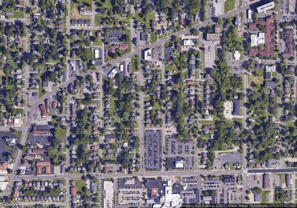
129 Vennum Ave Mansfield, OH 44903
Estimated Value: $82,000 - $111,000
3
Beds
1
Bath
1,600
Sq Ft
$61/Sq Ft
Est. Value
About This Home
This home is located at 129 Vennum Ave, Mansfield, OH 44903 and is currently estimated at $97,306, approximately $60 per square foot. 129 Vennum Ave is a home located in Richland County with nearby schools including Goal Digital Academy, St. Peter's High School/Junior High, and St. Peter's Elementary/Montessori School.
Ownership History
Date
Name
Owned For
Owner Type
Purchase Details
Closed on
Sep 15, 2014
Sold by
Patrick Kathleen R
Bought by
Patrick Kristoffer M
Current Estimated Value
Purchase Details
Closed on
Mar 1, 2010
Sold by
Federal Home Loan Mortgage Corporation
Bought by
Patrick Kristoffer M
Purchase Details
Closed on
Nov 25, 2009
Sold by
Stahlke Gunther
Bought by
Federal Home Loan Mortgage Corp
Purchase Details
Closed on
Feb 19, 2009
Sold by
Dove Cote Llc
Bought by
Eldorado Properties Llc
Purchase Details
Closed on
May 1, 1985
Create a Home Valuation Report for This Property
The Home Valuation Report is an in-depth analysis detailing your home's value as well as a comparison with similar homes in the area
Home Values in the Area
Average Home Value in this Area
Purchase History
| Date | Buyer | Sale Price | Title Company |
|---|---|---|---|
| Patrick Kristoffer M | -- | Attorney | |
| Patrick Kristoffer M | $12,900 | Community First Title Agency | |
| Federal Home Loan Mortgage Corp | $46,791 | Attorney | |
| Eldorado Properties Llc | -- | Attorney | |
| -- | $7,500 | -- |
Source: Public Records
Tax History Compared to Growth
Tax History
| Year | Tax Paid | Tax Assessment Tax Assessment Total Assessment is a certain percentage of the fair market value that is determined by local assessors to be the total taxable value of land and additions on the property. | Land | Improvement |
|---|---|---|---|---|
| 2024 | $768 | $16,040 | $3,840 | $12,200 |
| 2023 | $768 | $16,040 | $3,840 | $12,200 |
| 2022 | $518 | $9,070 | $3,150 | $5,920 |
| 2021 | $522 | $9,070 | $3,150 | $5,920 |
| 2020 | $534 | $9,070 | $3,150 | $5,920 |
| 2019 | $591 | $9,070 | $3,150 | $5,920 |
| 2018 | $584 | $9,070 | $3,150 | $5,920 |
| 2017 | $430 | $9,070 | $3,150 | $5,920 |
| 2016 | $292 | $4,520 | $3,500 | $1,020 |
| 2015 | $292 | $4,520 | $3,500 | $1,020 |
| 2014 | $275 | $4,520 | $3,500 | $1,020 |
| 2012 | $255 | $4,520 | $3,500 | $1,020 |
Source: Public Records
Map
Nearby Homes
- 133 Vennum Ave
- 123 Vennum Ave
- 124 Lind Ave
- 134 Lind Ave
- 120 Lind Ave
- 135 Vennum Ave
- 119 Vennum Ave
- 141 Vennum Ave
- 142 Lind Ave
- 113 Vennum Ave Unit 115
- 114 Lind Ave Unit 116
- 145 Vennum Ave
- 127 Lind Ave
- 133 Lind Ave
- 148 Lind Ave
- 139 Lind Ave
- 107 Vennum Ave Unit 109
- 151 Vennum Ave
- 119 Lind Ave
- 106 Lind Ave
