129 W Allenton Rd North Kingstown, RI 02852
Allenton NeighborhoodEstimated Value: $545,000 - $881,000
4
Beds
2
Baths
2,808
Sq Ft
$254/Sq Ft
Est. Value
About This Home
This home is located at 129 W Allenton Rd, North Kingstown, RI 02852 and is currently estimated at $714,146, approximately $254 per square foot. 129 W Allenton Rd is a home located in Washington County with nearby schools including Hamilton Elementary School, Wickford Middle School, and North Kingstown Sr. High School.
Ownership History
Date
Name
Owned For
Owner Type
Purchase Details
Closed on
Nov 24, 2008
Sold by
Alger Michael
Bought by
Cook Michael and Cook Deana
Current Estimated Value
Home Financials for this Owner
Home Financials are based on the most recent Mortgage that was taken out on this home.
Original Mortgage
$234,900
Interest Rate
6.03%
Mortgage Type
Purchase Money Mortgage
Create a Home Valuation Report for This Property
The Home Valuation Report is an in-depth analysis detailing your home's value as well as a comparison with similar homes in the area
Home Values in the Area
Average Home Value in this Area
Purchase History
| Date | Buyer | Sale Price | Title Company |
|---|---|---|---|
| Cook Michael | $200,000 | -- |
Source: Public Records
Mortgage History
| Date | Status | Borrower | Loan Amount |
|---|---|---|---|
| Open | Cook Michael | $252,000 | |
| Closed | Cook Michael | $250,000 | |
| Closed | Cook Michael | $234,900 |
Source: Public Records
Tax History Compared to Growth
Tax History
| Year | Tax Paid | Tax Assessment Tax Assessment Total Assessment is a certain percentage of the fair market value that is determined by local assessors to be the total taxable value of land and additions on the property. | Land | Improvement |
|---|---|---|---|---|
| 2025 | $6,853 | $620,700 | $243,100 | $377,600 |
| 2024 | $6,487 | $452,400 | $167,500 | $284,900 |
| 2023 | $6,487 | $452,400 | $167,500 | $284,900 |
| 2022 | $6,361 | $452,400 | $167,500 | $284,900 |
| 2021 | $6,127 | $350,100 | $106,800 | $243,300 |
| 2020 | $5,983 | $350,100 | $106,800 | $243,300 |
| 2019 | $5,983 | $350,100 | $106,800 | $243,300 |
| 2018 | $6,125 | $322,900 | $108,100 | $214,800 |
| 2017 | $6,003 | $322,900 | $108,100 | $214,800 |
| 2016 | $5,832 | $322,900 | $108,100 | $214,800 |
| 2015 | $5,796 | $300,300 | $103,700 | $196,600 |
| 2014 | $5,679 | $300,300 | $103,700 | $196,600 |
Source: Public Records
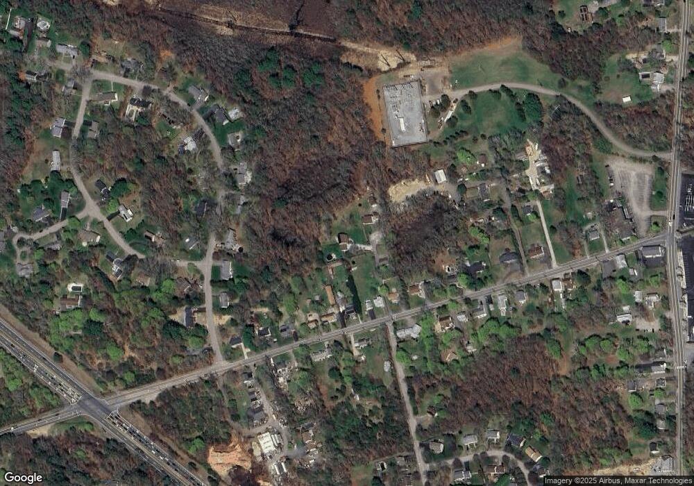
Map
Nearby Homes
- 76 W Allenton Rd
- 0 W Allenton Rd
- 75 Hickory Dr
- 38 Greenwood Rd
- 17 Jamaica Way
- 84 Cardinal Dr
- 47 Shady Lea Rd
- 67 Daniel Dr
- 471 Annaquatucket Rd
- 212 Orchard Woods Dr
- 215 Finch Ln
- 159 Ten Rod Rd
- 194 Phillips St
- 25 Thomas St
- 480 Boston Neck Rd
- 281 Wickford Ct Unit 23
- 127 Oceanwoods Dr
- 11 Guzeika Rd
- 123 Stone Gate Dr
- 53 Morgan Ct
- 123 W Allenton Rd
- 121 W Allenton Rd
- 125 W Allenton Rd
- 135 W Allenton Rd
- 145 W Allenton Rd
- 107 W Allenton Rd
- 155 W Allenton Rd
- 65 Pinecrest Dr
- 55 Pinecrest Dr
- 41 Pinecrest Dr
- 79 Pinecrest Dr
- 165 W Allenton Rd
- 136 W Allenton Rd
- 120 W Allenton Rd
- 93 W Allenton Rd
- 175 W Allenton Rd
- 156 W Allenton Rd
- 27 Pinecrest Dr
- 89 Pinecrest Dr
- 100 W Allenton Rd Unit 3