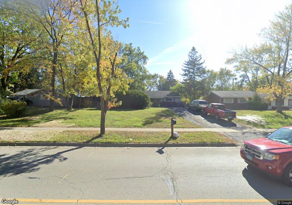
129 W Briarcliff Rd Bolingbrook, IL 60440
East Bolingbrook NeighborhoodEstimated Value: $266,000 - $290,000
3
Beds
1
Bath
1,115
Sq Ft
$249/Sq Ft
Est. Value
About This Home
This home is located at 129 W Briarcliff Rd, Bolingbrook, IL 60440 and is currently estimated at $277,333, approximately $248 per square foot. 129 W Briarcliff Rd is a home located in Will County with nearby schools including Bernard J Ward Elementary School, Brooks Middle School, and Hubert H Humphrey Middle School.
Ownership History
Date
Name
Owned For
Owner Type
Purchase Details
Closed on
Jan 12, 2012
Sold by
Chhangani Vijai Raj and Chhangani Gulab K
Bought by
Chhangani Vijairaj and Chhangani Gulab Kawar
Current Estimated Value
Purchase Details
Closed on
Jun 22, 2001
Sold by
Heffron Matthew A and Heffron Mary
Bought by
Chhangani Vijai R and Chhangani Gulab K
Home Financials for this Owner
Home Financials are based on the most recent Mortgage that was taken out on this home.
Original Mortgage
$99,400
Outstanding Balance
$38,223
Interest Rate
7.27%
Estimated Equity
$239,110
Create a Home Valuation Report for This Property
The Home Valuation Report is an in-depth analysis detailing your home's value as well as a comparison with similar homes in the area
Home Values in the Area
Average Home Value in this Area
Purchase History
| Date | Buyer | Sale Price | Title Company |
|---|---|---|---|
| Chhangani Vijairaj | -- | None Available | |
| Chhangani Vijai R | $113,000 | -- |
Source: Public Records
Mortgage History
| Date | Status | Borrower | Loan Amount |
|---|---|---|---|
| Open | Chhangani Vijai R | $99,400 |
Source: Public Records
Tax History Compared to Growth
Tax History
| Year | Tax Paid | Tax Assessment Tax Assessment Total Assessment is a certain percentage of the fair market value that is determined by local assessors to be the total taxable value of land and additions on the property. | Land | Improvement |
|---|---|---|---|---|
| 2024 | $6,741 | $72,991 | $18,476 | $54,515 |
| 2023 | $6,741 | $65,675 | $16,624 | $49,051 |
| 2022 | $5,853 | $59,209 | $14,987 | $44,222 |
| 2021 | $5,574 | $55,361 | $14,013 | $41,348 |
| 2020 | $5,416 | $53,540 | $13,552 | $39,988 |
| 2019 | $5,158 | $49,991 | $12,654 | $37,337 |
| 2018 | $4,777 | $45,989 | $11,641 | $34,348 |
| 2017 | $4,569 | $43,591 | $11,034 | $32,557 |
| 2016 | $4,285 | $39,900 | $10,100 | $29,800 |
| 2015 | $4,502 | $38,300 | $9,700 | $28,600 |
| 2014 | $4,502 | $35,500 | $9,000 | $26,500 |
| 2013 | $4,502 | $41,800 | $10,600 | $31,200 |
Source: Public Records
Map
Nearby Homes
- 101 Enclave Cir Unit C
- 117 Enclave Cir Unit A
- 412 Greentree Ln Unit 6
- 222 Aspen Ct
- 184 Fairwood Dr
- 43 Fernwood Dr Unit D
- 414 Salem Square Unit 4
- 220 Braemar Glen
- 112 Brook Ct
- 443 Mallview Ln Unit 6
- 2 Ava Ct
- 227 Lexington Dr
- 255 Braemar Glen
- 14 Fernwood Dr Unit B
- 10 Fernwood Dr Unit L
- 6 Fernwood Dr Unit 6
- 5 Fernwood Dr
- 124 Somerset Ln Unit 7
- 2V Fernwood Dr
- 210 Monterey Dr
- 133 W Briarcliff Rd
- 125 W Briarcliff Rd
- 128 Cypress Dr Unit 2
- 124 Cypress Dr
- 132 Cypress Dr
- 121 W Briarcliff Rd
- 137 W Briarcliff Rd
- 136 Cypress Dr
- 120 Cypress Dr
- 120 W Briarcliff Rd
- 124 W Briarcliff Rd
- 117 W Briarcliff Rd
- 141 W Briarcliff Rd
- 140 Cypress Dr
- 116 Cypress Dr
- 116 W Briarcliff Rd
- 128 W Briarcliff Rd
- 113 W Briarcliff Rd
- 145 W Briarcliff Rd
- 105 Avondale Ct Unit 2