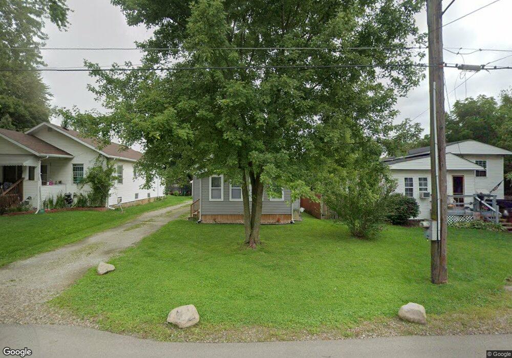
129 Watts St Jackson, MI 49203
Estimated Value: $85,000 - $113,000
2
Beds
1
Bath
900
Sq Ft
$114/Sq Ft
Est. Value
About This Home
This home is located at 129 Watts St, Jackson, MI 49203 and is currently estimated at $102,355, approximately $113 per square foot. 129 Watts St is a home located in Jackson County with nearby schools including East Jackson Elementary School, East Jackson Middle School, and East Jackson High School.
Ownership History
Date
Name
Owned For
Owner Type
Purchase Details
Closed on
Oct 3, 2019
Sold by
Brown Shawn M
Bought by
Meridian Property Management Llc
Current Estimated Value
Purchase Details
Closed on
Sep 17, 2019
Sold by
Jackson County
Bought by
Meridian Property Management
Purchase Details
Closed on
Jun 19, 1997
Sold by
Robinson Lori M
Bought by
Brown Shawn M
Purchase Details
Closed on
Sep 1, 1990
Bought by
Robinson
Create a Home Valuation Report for This Property
The Home Valuation Report is an in-depth analysis detailing your home's value as well as a comparison with similar homes in the area
Home Values in the Area
Average Home Value in this Area
Purchase History
| Date | Buyer | Sale Price | Title Company |
|---|---|---|---|
| Meridian Property Management Llc | -- | None Available | |
| Meridian Property Management | $17,000 | None Available | |
| Brown Shawn M | $41,000 | -- | |
| Robinson | $29,900 | -- |
Source: Public Records
Tax History
| Year | Tax Paid | Tax Assessment Tax Assessment Total Assessment is a certain percentage of the fair market value that is determined by local assessors to be the total taxable value of land and additions on the property. | Land | Improvement |
|---|---|---|---|---|
| 2025 | $1,315 | $40,000 | $0 | $0 |
| 2024 | $10 | $40,200 | $0 | $0 |
| 2023 | $918 | $36,800 | $0 | $0 |
| 2022 | $1,184 | $28,000 | $0 | $0 |
| 2021 | $1,158 | $21,800 | $0 | $0 |
| 2020 | $1,142 | $21,000 | $0 | $0 |
| 2019 | $1,113 | $20,700 | $0 | $0 |
| 2018 | $1,237 | $21,500 | $0 | $0 |
| 2017 | $1,187 | $21,500 | $0 | $0 |
| 2016 | $778 | $21,118 | $21,118 | $0 |
| 2015 | $1,166 | $18,440 | $18,440 | $0 |
| 2014 | $1,166 | $18,283 | $18,283 | $0 |
| 2013 | -- | $18,283 | $18,283 | $0 |
Source: Public Records
Map
Nearby Homes
- 131 Willow St
- 149 Mantle Ave
- 153 Mantle Ave
- 111 N Forbes St
- 106 N Dwight St
- 0 Key St Unit 26001474
- 213 N Gorham St
- 134 N Gorham St
- 1915 E Ganson St
- Vl Watts St
- 127 Bates St
- 339 N Dwight St
- 2700 Osage Ave
- 319 N Gorham St
- 209 N Pleasant St
- 404 Seminole Place
- 509 S Gorham St
- 306 N Pleasant St
- 0 Lindsey Unit 13 Rd Unit 23103549
- 0 Lindsey Unit 14 Rd Unit 23282
Your Personal Tour Guide
Ask me questions while you tour the home.