129 Wharf Landing Way E Islesboro, ME 04848
Estimated Value: $800,000 - $1,607,836
3
Beds
4
Baths
2,632
Sq Ft
$498/Sq Ft
Est. Value
About This Home
This home is located at 129 Wharf Landing Way E, Islesboro, ME 04848 and is currently estimated at $1,310,612, approximately $497 per square foot. 129 Wharf Landing Way E is a home with nearby schools including Islesboro Central School.
Create a Home Valuation Report for This Property
The Home Valuation Report is an in-depth analysis detailing your home's value as well as a comparison with similar homes in the area
Home Values in the Area
Average Home Value in this Area
Tax History Compared to Growth
Tax History
| Year | Tax Paid | Tax Assessment Tax Assessment Total Assessment is a certain percentage of the fair market value that is determined by local assessors to be the total taxable value of land and additions on the property. | Land | Improvement |
|---|---|---|---|---|
| 2024 | $15,295 | $1,285,300 | $485,700 | $799,600 |
| 2023 | $14,138 | $1,285,300 | $485,700 | $799,600 |
| 2022 | $11,101 | $616,700 | $83,000 | $533,700 |
| 2021 | $10,885 | $616,700 | $83,000 | $533,700 |
| 2020 | $10,484 | $616,700 | $83,000 | $533,700 |
| 2019 | $10,268 | $616,700 | $83,000 | $533,700 |
| 2018 | $10,083 | $616,700 | $83,000 | $533,700 |
| 2017 | $9,744 | $616,700 | $83,000 | $533,700 |
| 2016 | $9,707 | $616,700 | $83,000 | $533,700 |
| 2015 | $9,226 | $616,700 | $83,000 | $533,700 |
| 2014 | $8,717 | $718,600 | $96,800 | $621,800 |
| 2012 | $7,313 | $622,400 | $96,800 | $525,600 |
Source: Public Records
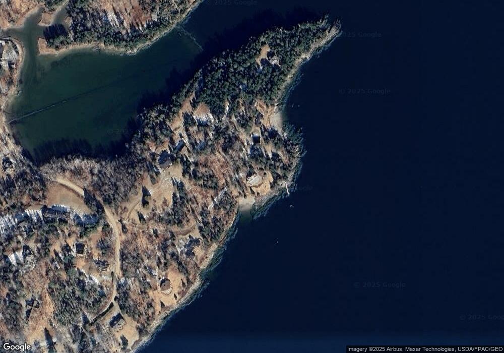
Map
Nearby Homes
- 108 Derby Rd
- Lot 23 Map 39 Babbidge Rd
- 115 Babbidge Rd
- 108 Colony Rd
- 371 Pendleton Point Rd
- 197 E Shore Dr
- 866 Pendleton Point Rd
- M15L20-TBD Golf Club Rd
- 118 E East Shore Dr
- 522 Ferry Rd
- 228 Gooseberry Point Rd
- 292 & 300 Main Rd
- 292 Main Rd
- 376 W Bay Rd
- 135 Rebel Hill Rd
- 364 & 367 Main Rd
- 391 Main Rd
- 300 Main Rd
- 399 Hermit's Point Rd
- 2Q Hermit's Point Rd
- 102 Wharf Landing Way E
- 115 Wharf Landing Way E
- 189 Wharf Landing Way E
- 109 Wharf Landing Way E
- 577 Pendleton Point Rd
- 117 Jetty Rd
- 588 Pendleton Point Rd
- 541 Pendleton Point Rd
- 107 Tarratine Club Rd
- 535 Pendleton Point Rd
- 598 Pendleton Point Rd
- 518 Pendleton Point Rd
- 516 Pendleton Point Rd
- 525 Pendleton Point Rd
- 525 Pendleton Point Rd
- 529 Pendleton Point Rd
- 478 E Shore Dr
- 523 Pendleton Point Rd
- 106 Pendleton Point Rd
- 101 Derby Rd