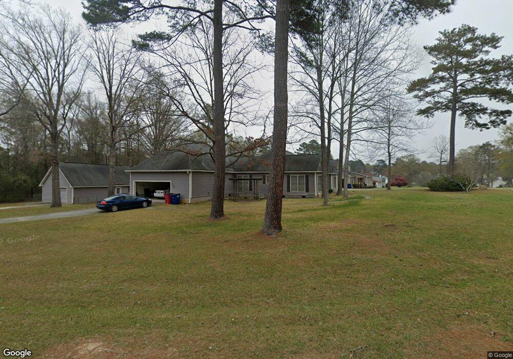
129 White Pine Ct Macon, GA 31216
Estimated Value: $268,000 - $282,514
3
Beds
3
Baths
2,125
Sq Ft
$129/Sq Ft
Est. Value
About This Home
This home is located at 129 White Pine Ct, Macon, GA 31216 and is currently estimated at $274,379, approximately $129 per square foot. 129 White Pine Ct is a home located in Bibb County with nearby schools including Porter Elementary School, Rutland Middle School, and Rutland High School.
Ownership History
Date
Name
Owned For
Owner Type
Purchase Details
Closed on
Jul 20, 2007
Sold by
Corbin Shawn F
Bought by
Corbin Shawn F and Corbin Nancy Deanne
Current Estimated Value
Home Financials for this Owner
Home Financials are based on the most recent Mortgage that was taken out on this home.
Original Mortgage
$124,000
Outstanding Balance
$77,987
Interest Rate
6.71%
Mortgage Type
Unknown
Estimated Equity
$196,392
Create a Home Valuation Report for This Property
The Home Valuation Report is an in-depth analysis detailing your home's value as well as a comparison with similar homes in the area
Purchase History
| Date | Buyer | Sale Price | Title Company |
|---|---|---|---|
| Corbin Shawn F | -- | None Available | |
| Corbin Shawn F | $155,000 | None Available |
Source: Public Records
Mortgage History
| Date | Status | Borrower | Loan Amount |
|---|---|---|---|
| Open | Corbin Shawn F | $124,000 |
Source: Public Records
Tax History
| Year | Tax Paid | Tax Assessment Tax Assessment Total Assessment is a certain percentage of the fair market value that is determined by local assessors to be the total taxable value of land and additions on the property. | Land | Improvement |
|---|---|---|---|---|
| 2025 | $2,599 | $105,751 | $16,000 | $89,751 |
| 2024 | $2,690 | $105,934 | $16,000 | $89,934 |
| 2023 | $2,517 | $99,109 | $16,000 | $83,109 |
| 2022 | $2,905 | $83,902 | $8,840 | $75,062 |
| 2021 | $2,732 | $71,887 | $8,840 | $63,047 |
| 2020 | $2,409 | $62,044 | $7,514 | $54,530 |
| 2019 | $2,429 | $62,044 | $7,514 | $54,530 |
| 2018 | $3,680 | $58,387 | $7,514 | $50,873 |
| 2017 | $2,188 | $58,387 | $7,514 | $50,873 |
| 2016 | $1,914 | $55,333 | $7,072 | $48,261 |
| 2015 | $2,691 | $54,945 | $7,072 | $47,873 |
| 2014 | $944 | $57,761 | $7,072 | $50,689 |
Source: Public Records
Map
Nearby Homes
- 221 Pendleton Ct
- 180 Ridge Cir
- 423 Windsor Ct
- 4005 Springhead Way Unit LOT 100
- 4005 Springhead Way
- 4003 Springhead Way Unit LOT 101
- 4003 Springhead Way
- 4009 Springhead Way Unit LOT 98
- 4009 Springhead Way
- 4001 Springhead Way
- 4001 Springhead Way Unit LOT 102
- 3988 Hartley Bridge Rd
- 6233 Skipperton Rd
- 3906 Hartley Bridge Rd
- 104 Tyler Ct
- 3812 Western Way
- 123 Hudson Way
- 1066 Alma Dr
- 5731 School Rd
- 3636 Bonanza Dr
- 121 White Pine Ct
- 132 White Pine Ct
- 117 White Pine Ct
- 136 White Pine Ct
- 124 White Pine Ct
- 140 White Pine Ct
- 128 White Pine Ct
- 208 Ridge Ct
- 0 White Pine Ct Unit 159141
- 113 White Pine Ct
- 206 Ridge Ct
- 209 Ridge Ct
- 405 Bransford Cir
- 112 White Pine Ct
- 109 White Pine Ct
- 133 Bransford Dr
- 129 Bransford Dr
- 204 Ridge Ct
- 137 Bransford Dr