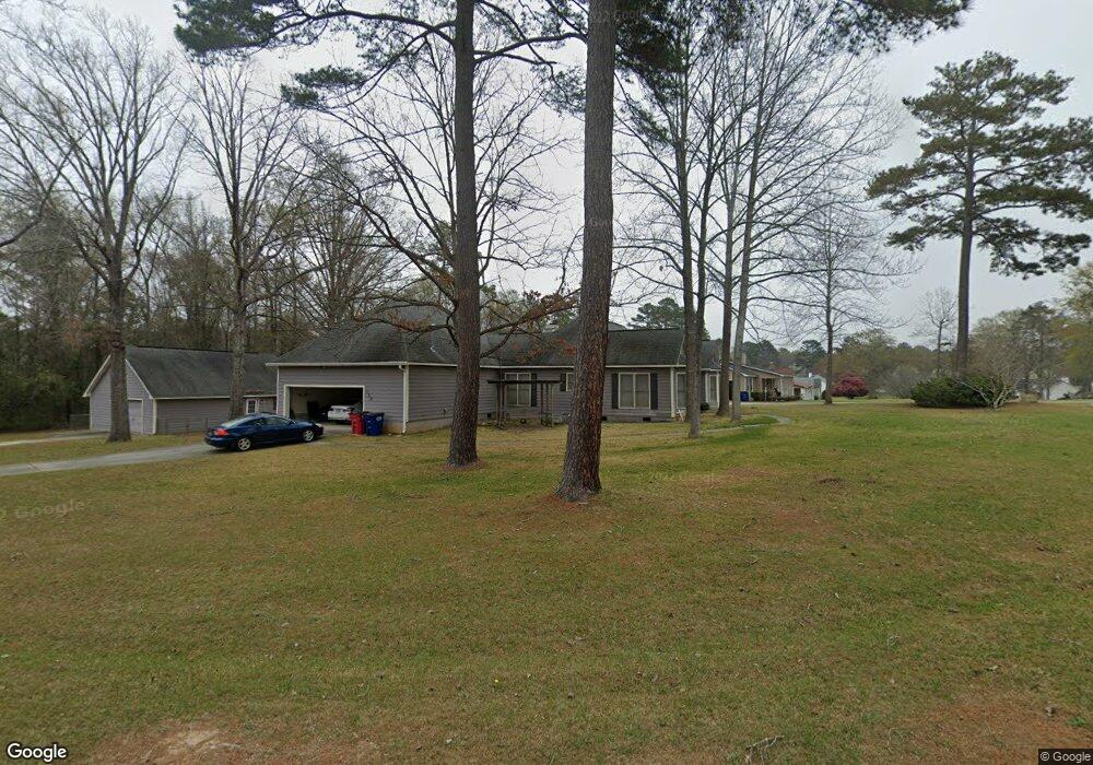
129 White Pine Ct Macon, GA 31216
Estimated Value: $268,000 - $287,000
About This Home
This home is located at 129 White Pine Ct, Macon, GA 31216 and is currently estimated at $277,021, approximately $130 per square foot. 129 White Pine Ct is a home located in Bibb County with nearby schools including Porter Elementary School, Rutland Middle School, and Rutland High School.
Ownership History
We collect this data history from publicly available records. To have your information removed, we recommend requesting removal directly through your county’s website.
Purchase Details
Home Financials for this Owner
Home Financials are based on the most recent Mortgage that was taken out on this home.Purchase History
We collect this data history from publicly available records. To have your information removed, we recommend requesting removal directly through your county’s website.
| Date | Buyer | Sale Price | Title Company |
|---|---|---|---|
| -- | None Available | ||
| $155,000 | None Available |
Mortgage History
We collect this data history from publicly available records. To have your information removed, we recommend requesting removal directly through your county’s website.
| Date | Status | Borrower | Loan Amount |
|---|---|---|---|
| Open | $124,000 |
Tax History
We collect this data history from publicly available records. To have your information removed, we recommend requesting removal directly through your county’s website.
| Year | Tax Paid | Tax Assessment Tax Assessment Total Assessment is a certain percentage of the fair market value that is determined by local assessors to be the total taxable value of land and additions on the property. | Land | Improvement |
|---|---|---|---|---|
| 2025 | $2,599 | $105,751 | $16,000 | $89,751 |
| 2024 | $2,690 | $105,934 | $16,000 | $89,934 |
| 2023 | $2,517 | $99,109 | $16,000 | $83,109 |
| 2022 | $2,905 | $83,902 | $8,840 | $75,062 |
| 2021 | $2,732 | $71,887 | $8,840 | $63,047 |
| 2020 | $2,409 | $62,044 | $7,514 | $54,530 |
| 2019 | $2,429 | $62,044 | $7,514 | $54,530 |
| 2018 | $3,680 | $58,387 | $7,514 | $50,873 |
| 2017 | $2,188 | $58,387 | $7,514 | $50,873 |
| 2016 | $1,914 | $55,333 | $7,072 | $48,261 |
| 2015 | $2,691 | $54,945 | $7,072 | $47,873 |
| 2014 | $944 | $57,761 | $7,072 | $50,689 |
Map
- 177 Timber Ridge Dr
- 6045 Skipperton Rd
- 6071 Fountain Dr
- 1007 Homestead Dr
- 1007 Homestead Dr Unit HI196
- 6233 Skipperton Rd
- 1017 Homestead Dr Unit HI201
- 1017 Homestead Dr
- 1001 Homestead Dr Unit HI193
- 1001 Homestead Dr
- 1003 Homestead Dr Unit HI194
- 1003 Homestead Dr
- 3906 Hartley Bridge Rd
- 6349 Carey Dr
- 1119 Alma Dr
- 6460 Gibson Rd
- 4350 Jones Rd
- 3720 Western Way
- 3710 Sandy Cir
- 5514 Bankston Lake Rd
- 121 White Pine Ct
- 132 White Pine Ct
- 117 White Pine Ct
- 136 White Pine Ct
- 124 White Pine Ct
- 140 White Pine Ct
- 120 White Pine Ct
- 128 White Pine Ct
- 208 Ridge Ct
- 0 White Pine Ct Unit 98142943
- 0 White Pine Ct Unit 56511
- 0 White Pine Ct Unit 159141
- 113 White Pine Ct
- 116 White Pine Ct
- 206 Ridge Ct
- 209 Ridge Ct
- 405 Bransford Cir
- 112 White Pine Ct
- 109 White Pine Ct
- 133 Bransford Dr
Ask me questions while you tour the home.