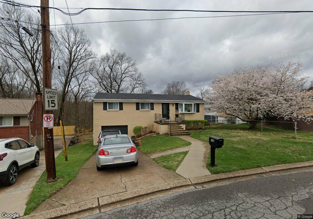
129 William Cir Mc Kees Rocks, PA 15136
Stowe Township NeighborhoodEstimated Value: $186,000 - $212,647
3
Beds
1
Bath
1,161
Sq Ft
$171/Sq Ft
Est. Value
About This Home
This home is located at 129 William Cir, Mc Kees Rocks, PA 15136 and is currently estimated at $198,162, approximately $170 per square foot. 129 William Cir is a home located in Allegheny County with nearby schools including Sto-Rox Upper Elementary School, Sto-Rox Primary Center, and Sto-Rox Junior/Senior High School.
Ownership History
Date
Name
Owned For
Owner Type
Purchase Details
Closed on
Jun 13, 2019
Sold by
Berg Robert A and Berg Susan I
Bought by
Bihler Jeffrey Arthur
Current Estimated Value
Home Financials for this Owner
Home Financials are based on the most recent Mortgage that was taken out on this home.
Original Mortgage
$107,908
Outstanding Balance
$95,627
Interest Rate
4.5%
Mortgage Type
FHA
Estimated Equity
$102,535
Purchase Details
Closed on
Jul 21, 1978
Bought by
Berg Robert A and Berg Susan I
Create a Home Valuation Report for This Property
The Home Valuation Report is an in-depth analysis detailing your home's value as well as a comparison with similar homes in the area
Home Values in the Area
Average Home Value in this Area
Purchase History
| Date | Buyer | Sale Price | Title Company |
|---|---|---|---|
| Bihler Jeffrey Arthur | $109,900 | Everest Settlement Services | |
| Berg Robert A | $35,000 | -- |
Source: Public Records
Mortgage History
| Date | Status | Borrower | Loan Amount |
|---|---|---|---|
| Open | Bihler Jeffrey Arthur | $107,908 |
Source: Public Records
Tax History Compared to Growth
Tax History
| Year | Tax Paid | Tax Assessment Tax Assessment Total Assessment is a certain percentage of the fair market value that is determined by local assessors to be the total taxable value of land and additions on the property. | Land | Improvement |
|---|---|---|---|---|
| 2025 | $3,228 | $74,700 | $20,000 | $54,700 |
| 2024 | $3,228 | $74,700 | $20,000 | $54,700 |
| 2023 | $3,103 | $74,700 | $20,000 | $54,700 |
| 2022 | $3,727 | $92,700 | $20,000 | $72,700 |
| 2021 | $438 | $92,700 | $20,000 | $72,700 |
| 2020 | $3,643 | $92,700 | $20,000 | $72,700 |
| 2019 | $2,936 | $74,700 | $20,000 | $54,700 |
| 2018 | $2,936 | $74,700 | $20,000 | $54,700 |
| 2017 | $2,868 | $74,700 | $20,000 | $54,700 |
| 2016 | $353 | $74,700 | $20,000 | $54,700 |
| 2015 | $353 | $74,700 | $20,000 | $54,700 |
| 2014 | $2,868 | $74,700 | $20,000 | $54,700 |
Source: Public Records
Map
Nearby Homes
- 179 William Cir
- 1550 Glenn Way
- 23 Castle View Dr
- 214 Barbara Dr
- 104 Thorncrest Dr
- 86 Thorncrest Dr
- 1490 Island Ave
- 1421 Fleming Ave
- 155 Roosevelt Ave
- 8 Court Place
- 270 Wheeler Ave
- 543 Elizabeth Ave
- 172 N Vireo Dr
- 1017 Mccoy Rd
- 124 Pleasant Ridge Rd
- 1408 Broadway Ave
- 1406 Broadway Ave
- 108 Harrison Ave
- 1212 Woodward Ave
- 75 Coraopolis Rd
- 127 William Cir
- 128 Bellmawr Dr
- 126 Bellmawr Dr
- 125 William Cir
- 124 Bellmawr Dr
- 123 William Cir
- 130 William Cir
- 134 William Cir
- 131 Bellmawr Dr
- 129 Bellmawr Dr
- 103 Louis Ct
- 105 Louis Ct
- 127 Bellmawr Dr
- 133 Bellmawr Dr
- 101 Homer Cir
- 101 Louis Ct
- 125 Bellmawr Dr
- 133 Louis Dr
- 100 Homer Cir
- 135 William Cir