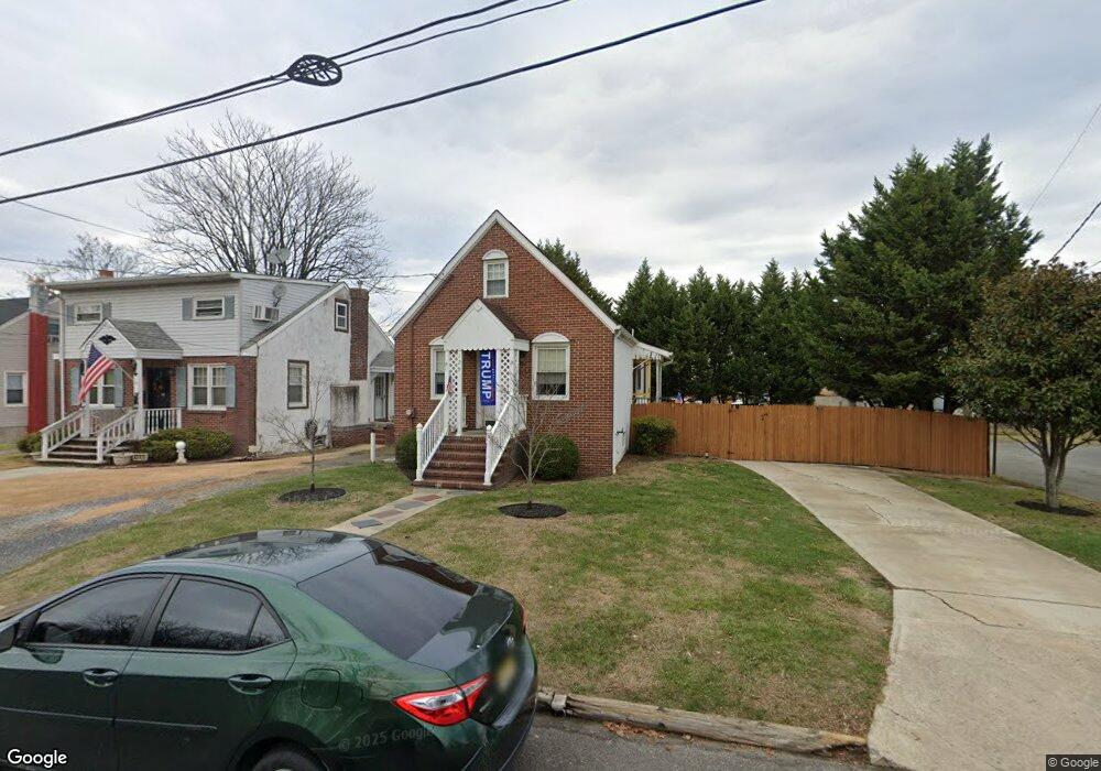
129 William St South River, NJ 08882
Estimated Value: $350,000 - $442,000
--
Bed
--
Bath
1,280
Sq Ft
$313/Sq Ft
Est. Value
About This Home
This home is located at 129 William St, South River, NJ 08882 and is currently estimated at $400,105, approximately $312 per square foot. 129 William St is a home located in Middlesex County with nearby schools including South River Primary School, South River Elementary School, and South River Middle School.
Ownership History
Date
Name
Owned For
Owner Type
Purchase Details
Closed on
Feb 4, 2016
Sold by
Lourenco Mario
Bought by
Lourenco Mario and Lourenco Judite
Current Estimated Value
Purchase Details
Closed on
Dec 9, 2015
Sold by
Wells Fargo Bank N A
Bought by
Lourenco Mario
Purchase Details
Closed on
Aug 19, 2015
Sold by
Rullo Michael
Bought by
Wells Fargo Bank Na
Purchase Details
Closed on
Jun 1, 2005
Sold by
King Brian Charles
Bought by
Rullo Michael
Home Financials for this Owner
Home Financials are based on the most recent Mortgage that was taken out on this home.
Original Mortgage
$198,750
Interest Rate
5.79%
Purchase Details
Closed on
Oct 19, 1994
Sold by
Trico Mtg
Bought by
King Brian
Home Financials for this Owner
Home Financials are based on the most recent Mortgage that was taken out on this home.
Original Mortgage
$38,000
Interest Rate
8.9%
Create a Home Valuation Report for This Property
The Home Valuation Report is an in-depth analysis detailing your home's value as well as a comparison with similar homes in the area
Home Values in the Area
Average Home Value in this Area
Purchase History
| Date | Buyer | Sale Price | Title Company |
|---|---|---|---|
| Lourenco Mario | -- | None Available | |
| Lourenco Mario | $162,750 | None Available | |
| Wells Fargo Bank Na | $368,996 | None Available | |
| Rullo Michael | $265,000 | -- | |
| King Brian | $40,000 | -- |
Source: Public Records
Mortgage History
| Date | Status | Borrower | Loan Amount |
|---|---|---|---|
| Previous Owner | Rullo Michael | $198,750 | |
| Previous Owner | King Brian | $38,000 |
Source: Public Records
Tax History Compared to Growth
Tax History
| Year | Tax Paid | Tax Assessment Tax Assessment Total Assessment is a certain percentage of the fair market value that is determined by local assessors to be the total taxable value of land and additions on the property. | Land | Improvement |
|---|---|---|---|---|
| 2025 | $4,934 | $193,700 | $89,300 | $104,400 |
| 2024 | $4,786 | $193,700 | $89,300 | $104,400 |
| 2023 | $4,786 | $193,700 | $89,300 | $104,400 |
| 2022 | $4,703 | $193,700 | $89,300 | $104,400 |
| 2021 | $3,371 | $193,700 | $89,300 | $104,400 |
| 2020 | $4,430 | $193,700 | $89,300 | $104,400 |
| 2019 | $5,181 | $62,900 | $22,500 | $40,400 |
| 2018 | $5,057 | $62,900 | $22,500 | $40,400 |
| 2017 | $5,027 | $64,900 | $22,500 | $42,400 |
| 2016 | $4,523 | $60,700 | $22,500 | $38,200 |
| 2015 | $4,422 | $60,700 | $22,500 | $38,200 |
| 2014 | $4,321 | $60,700 | $22,500 | $38,200 |
Source: Public Records
Map
Nearby Homes
- 29 Phillip St
- 98 William St
- 30 Burton Ave
- 18 June St
- 183 Prospect St
- 20 Watts St
- 15 Henry St
- 223 Prospect St
- 12 Clinton St
- 33 Obert St
- 13 Garwood St
- 78 Causeway St
- 150 Main St
- 12 Little Martin Ave
- 392 Old Bridge Turnpike
- 23 W Grochowiak St
- 16 Pulawski Ave
- 26 Water St
- 19 Wilcox Ave
- 33 W Grochowiak St
- 131 William St Unit 2nd f
- 131 William St
- 133 William St
- 135 William St
- 124 William St Unit 2
- 124 William St Unit B
- 143 William St
- 122 William St
- 118 William St
- 11 Burton Ave
- 15 Burton Ave
- 115 William St
- 17 Burton Ave
- 111 William St
- 107 William St
- 12 Burton Ave
- 104 William St
- 16 Burton Ave
- 103 William St
- 5 Eastern St