129 Wilson Dr Montpelier, OH 43543
Estimated Value: $106,000 - $131,000
2
Beds
1
Bath
896
Sq Ft
$131/Sq Ft
Est. Value
About This Home
This home is located at 129 Wilson Dr, Montpelier, OH 43543 and is currently estimated at $117,782, approximately $131 per square foot. 129 Wilson Dr is a home located in Williams County with nearby schools including Edon Elementary School.
Ownership History
Date
Name
Owned For
Owner Type
Purchase Details
Closed on
Aug 4, 2017
Sold by
Whitman Alyce L
Bought by
Whitman Blake and Whitman Kole
Current Estimated Value
Home Financials for this Owner
Home Financials are based on the most recent Mortgage that was taken out on this home.
Original Mortgage
$58,200
Outstanding Balance
$31,062
Interest Rate
3.9%
Mortgage Type
Future Advance Clause Open End Mortgage
Estimated Equity
$86,720
Purchase Details
Closed on
Nov 30, 2000
Sold by
Whitman Kenneth D
Bought by
Whitman Alyce L
Purchase Details
Closed on
Jan 1, 1990
Bought by
Whitman Kenneth D
Create a Home Valuation Report for This Property
The Home Valuation Report is an in-depth analysis detailing your home's value as well as a comparison with similar homes in the area
Home Values in the Area
Average Home Value in this Area
Purchase History
| Date | Buyer | Sale Price | Title Company |
|---|---|---|---|
| Whitman Blake | $60,000 | Merestone Title Agency | |
| Whitman Alyce L | -- | -- | |
| Whitman Kenneth D | -- | -- |
Source: Public Records
Mortgage History
| Date | Status | Borrower | Loan Amount |
|---|---|---|---|
| Open | Whitman Blake | $58,200 |
Source: Public Records
Tax History Compared to Growth
Tax History
| Year | Tax Paid | Tax Assessment Tax Assessment Total Assessment is a certain percentage of the fair market value that is determined by local assessors to be the total taxable value of land and additions on the property. | Land | Improvement |
|---|---|---|---|---|
| 2024 | $980 | $27,060 | $6,300 | $20,760 |
| 2023 | $980 | $21,460 | $6,930 | $14,530 |
| 2022 | $909 | $21,460 | $6,930 | $14,530 |
| 2021 | $910 | $21,460 | $6,930 | $14,530 |
| 2020 | $866 | $19,500 | $6,300 | $13,200 |
| 2019 | $857 | $19,500 | $6,300 | $13,200 |
| 2018 | $853 | $19,500 | $6,300 | $13,200 |
| 2017 | $733 | $17,020 | $4,800 | $12,220 |
| 2016 | $656 | $17,020 | $4,800 | $12,220 |
| 2015 | $733 | $17,020 | $4,800 | $12,220 |
| 2014 | $733 | $17,890 | $5,040 | $12,850 |
| 2013 | $740 | $17,890 | $5,040 | $12,850 |
Source: Public Records
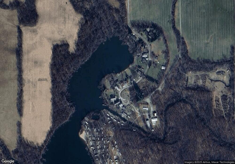
Map
Nearby Homes
- 5-50 County Rd S
- 15791 Rice Rd
- 8800 W Territorial Rd
- 0 W Territorial Rd Unit 25043960
- 16702 Ohio 49
- 18405 County Road 2-50
- 8833 W Territorial Rd
- 15297 County Road 5
- 5647 US Highway 20
- 623-624 Yuma Trail
- 362 Wasco Trail
- 14934 Heather Ct
- 600 Seneca Dr
- 17930 County Road 1 50
- 14401 Woodbridge Rd
- 988-989 Seneca Dr
- 207 Modoc Trail
- 14600 W Diane Dr
- 199 Shoshone Trail
- 213 Navajo Trail
- 133 Wilson Dr
- 125 Wilson Dr
- 137 Wilson Dr
- 121 Wilson Dr
- 141 Wilson Dr
- 113 Wilson Dr
- 113 Wilson Dr
- 145 Wilson Dr
- 105 Wilson Dr
- 153 Wilson Dr
- 153 Wilson Dr
- 157 Wilson Dr
- 161 Wilson Dr
- 165 Wilson Dr
- 120 Wilson Dr
- 132 Wilson Dr
- 132 Wilson Dr
- 5137 County Rd Unit Q-50
- 05368A Co Rd S
- 19025 County Road 5 50