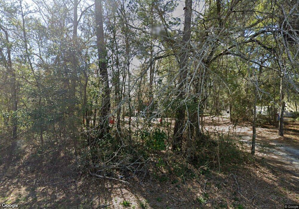
129 Yaupon Dr Southport, NC 28461
Estimated Value: $356,493 - $498,000
3
Beds
2
Baths
1,901
Sq Ft
$215/Sq Ft
Est. Value
About This Home
This home is located at 129 Yaupon Dr, Southport, NC 28461 and is currently estimated at $408,123, approximately $214 per square foot. 129 Yaupon Dr is a home located in Brunswick County with nearby schools including Southport Elementary School, South Brunswick Middle School, and South Brunswick High School.
Ownership History
Date
Name
Owned For
Owner Type
Purchase Details
Closed on
Sep 16, 2022
Sold by
Dale Mcpherson Elwin
Bought by
Mcpherson Elwin Dale
Current Estimated Value
Purchase Details
Closed on
Sep 11, 2008
Sold by
Hawksby John R
Bought by
Pfitzer Melissa G
Purchase Details
Closed on
Jul 1, 1998
Bought by
Mcpherson Elwin Dale
Create a Home Valuation Report for This Property
The Home Valuation Report is an in-depth analysis detailing your home's value as well as a comparison with similar homes in the area
Home Values in the Area
Average Home Value in this Area
Purchase History
| Date | Buyer | Sale Price | Title Company |
|---|---|---|---|
| Mcpherson Elwin Dale | -- | -- | |
| Mcpherson Elwin Dale | -- | None Listed On Document | |
| Pfitzer Melissa G | -- | None Available | |
| Mcpherson Elwin Dale | -- | -- |
Source: Public Records
Tax History Compared to Growth
Tax History
| Year | Tax Paid | Tax Assessment Tax Assessment Total Assessment is a certain percentage of the fair market value that is determined by local assessors to be the total taxable value of land and additions on the property. | Land | Improvement |
|---|---|---|---|---|
| 2025 | -- | $276,910 | $73,200 | $203,710 |
| 2024 | $2,116 | $276,910 | $73,200 | $203,710 |
| 2023 | $1,657 | $276,910 | $73,200 | $203,710 |
| 2022 | $1,657 | $158,230 | $28,800 | $129,430 |
| 2021 | $1,436 | $158,230 | $28,800 | $129,430 |
| 2020 | $1,436 | $158,230 | $28,800 | $129,430 |
| 2019 | $1,436 | $28,800 | $28,800 | $0 |
| 2018 | $1,361 | $149,150 | $40,000 | $109,150 |
| 2017 | $1,349 | $40,000 | $40,000 | $0 |
| 2016 | $1,249 | $40,000 | $40,000 | $0 |
| 2015 | $1,249 | $149,150 | $40,000 | $109,150 |
| 2014 | $1,257 | $158,870 | $60,000 | $98,870 |
Source: Public Records
Map
Nearby Homes
- 136 Park Ave
- 5122 Fernwood Dr
- 5138 Fernwood Dr
- 2035 Oakton Dr Unit 9
- 1.12 Ac Jabbertown Rd
- 131 Stuart Ave Unit 42
- 131 Stuart Ave
- 5147 Fernwood Dr
- 2079 Rosin Dr
- 2079 Rosin Dr Unit 17
- 2028 Oakton Dr
- 2071 Rosin Dr Unit 19
- 5122 Prices Creek Dr
- 306 Park Avenue Extension
- 305 Fire Fly SE
- 1014 Softwind Way
- 1010 Softwind Way
- 301 Fire Fly Ln
- 202 Fire Fly Ln
- 492 Jabbertown Rd
- 131 Yaupon Ext Dr
- 131 Yaupon Dr
- 131 Yaupon Dr Unit Ext.
- 132 Park Ave
- 130 Park Ave
- 134 Park Ave
- 5110 Fernwood Dr
- 5112 Fernwood Dr
- 5108 Fernwood Dr
- 128 Park Ave
- 5114 Fernwood Dr
- 5104 Fernwood Dr
- 126 Park Ave
- 138 Park Ave
- 5116 Fernwood Dr
- 5118 Fernwood Dr
- 808 E Leonard St
- 124 Park Ave
- 5102 Fernwood Dr
- 133 Park Ave
