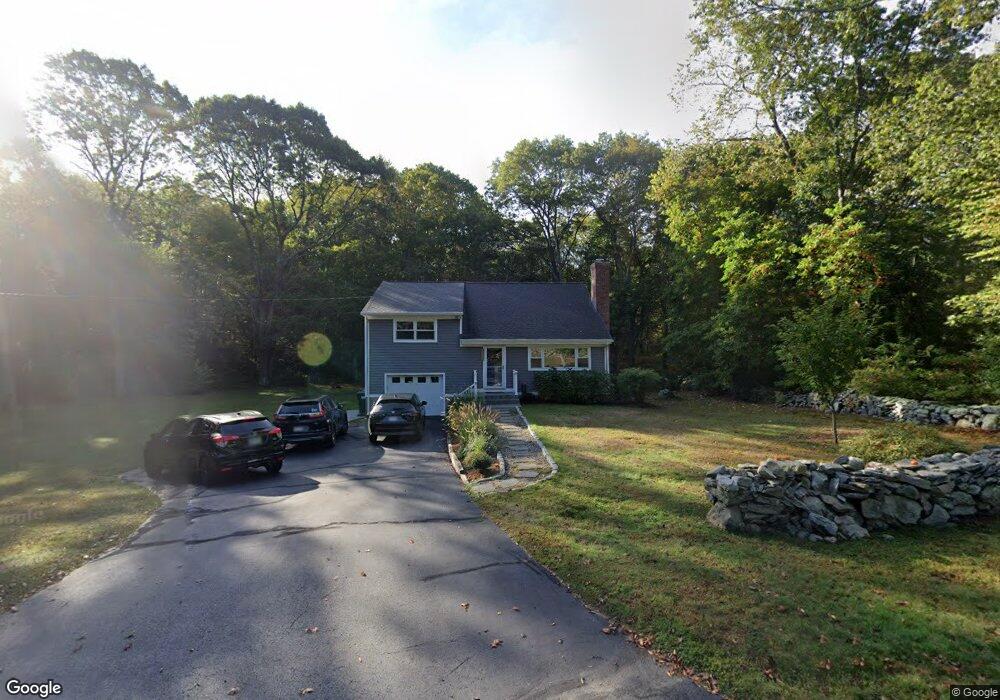
129 Yetter Rd Mystic, CT 06355
Old Mystic NeighborhoodEstimated Value: $353,000 - $496,000
4
Beds
3
Baths
1,906
Sq Ft
$232/Sq Ft
Est. Value
About This Home
This home is located at 129 Yetter Rd, Mystic, CT 06355 and is currently estimated at $442,800, approximately $232 per square foot. 129 Yetter Rd is a home located in New London County with nearby schools including Northeast Academy Arts Magnet School, Groton Middle School, and Robert E. Fitch High School.
Ownership History
Date
Name
Owned For
Owner Type
Purchase Details
Closed on
Apr 29, 2025
Sold by
Balsam Properties Llc
Bought by
129 Yetter Llc
Current Estimated Value
Purchase Details
Closed on
Feb 17, 2023
Sold by
Umrysz Pantea T and Umrysz Thomas A
Bought by
Balsam Properties Llc
Purchase Details
Closed on
Apr 28, 2020
Sold by
Heerlein Warren C Jr Est
Bought by
Umrysz Pantea T and Umrysz Thomas A
Create a Home Valuation Report for This Property
The Home Valuation Report is an in-depth analysis detailing your home's value as well as a comparison with similar homes in the area
Home Values in the Area
Average Home Value in this Area
Purchase History
| Date | Buyer | Sale Price | Title Company |
|---|---|---|---|
| 129 Yetter Llc | -- | None Available | |
| 129 Yetter Llc | -- | None Available | |
| Balsam Properties Llc | -- | None Available | |
| Balsam Properties Llc | -- | None Available | |
| Umrysz Pantea T | $95,000 | None Available | |
| Umrysz Pantea T | $95,000 | None Available |
Source: Public Records
Tax History Compared to Growth
Tax History
| Year | Tax Paid | Tax Assessment Tax Assessment Total Assessment is a certain percentage of the fair market value that is determined by local assessors to be the total taxable value of land and additions on the property. | Land | Improvement |
|---|---|---|---|---|
| 2025 | $6,230 | $228,130 | $101,073 | $127,057 |
| 2024 | $5,836 | $228,130 | $101,073 | $127,057 |
| 2023 | $5,596 | $228,130 | $46,620 | $181,510 |
| 2022 | $5,555 | $228,130 | $46,620 | $181,510 |
| 2021 | $4,298 | $148,820 | $46,620 | $102,200 |
| 2020 | $4,252 | $148,820 | $46,620 | $102,200 |
| 2019 | $4,070 | $148,820 | $46,620 | $102,200 |
| 2018 | $4,029 | $148,820 | $46,620 | $102,200 |
| 2017 | $3,956 | $148,820 | $46,620 | $102,200 |
| 2016 | $3,885 | $157,430 | $58,240 | $99,190 |
| 2015 | $3,755 | $157,430 | $58,240 | $99,190 |
| 2014 | $3,649 | $157,430 | $58,240 | $99,190 |
Source: Public Records
Map
Nearby Homes
- 36 Watrous Ave
- 22 Spring Valley Rd
- 186 Haley Rd
- 115 Lamphere Rd
- 254 Haley Rd
- 1459 Gold Star Hwy
- 116 Indigo St
- 2590 Gold Star Hwy Unit 210
- 518 Noank Ledyard Rd
- 17 Lamphere Rd
- 1064 North Rd
- 1211 Gold Star Hwy
- 375 Allyn St Unit 2
- 375 Allyn St Unit 4
- 97 North Rd
- 40 Allyn St
- 201 Daniel Brown Dr
- 1198 River Rd
- 435 High St Unit 31
- 435 High St Unit 30