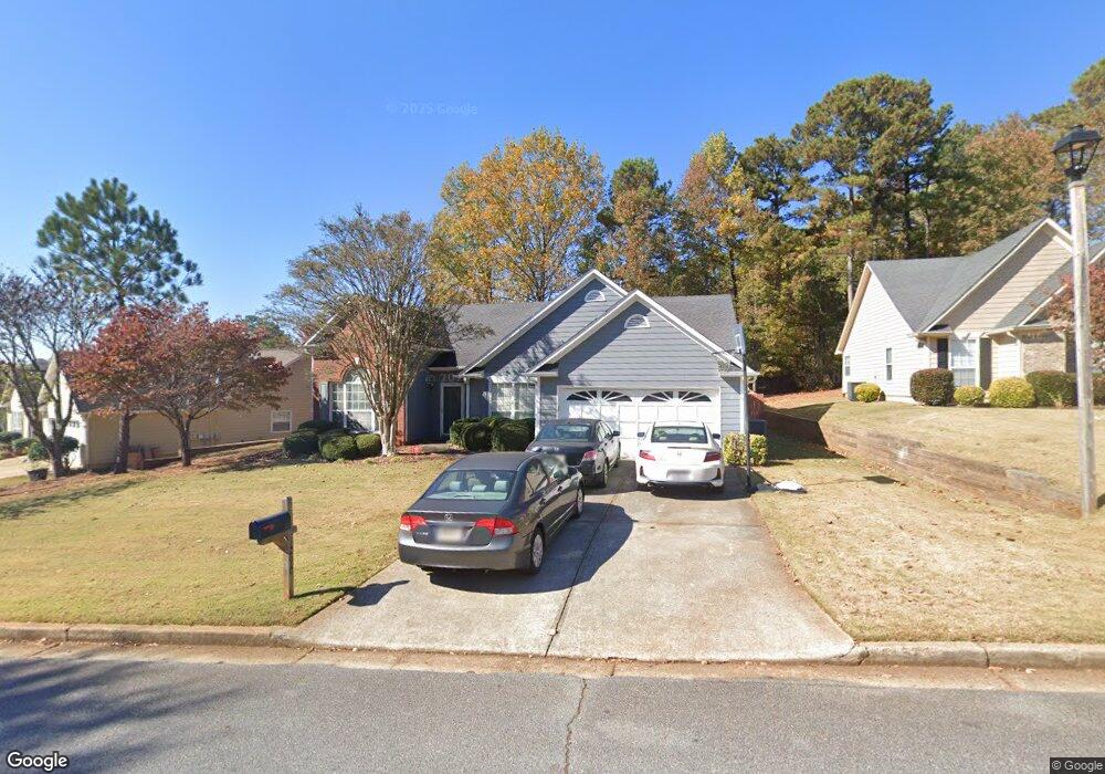
1290 Bailing Rd Unit 2 Lawrenceville, GA 30043
Estimated Value: $374,000 - $426,000
3
Beds
2
Baths
2,228
Sq Ft
$179/Sq Ft
Est. Value
About This Home
This home is located at 1290 Bailing Rd Unit 2, Lawrenceville, GA 30043 and is currently estimated at $398,577, approximately $178 per square foot. 1290 Bailing Rd Unit 2 is a home located in Gwinnett County with nearby schools including McKendree Elementary School, Creekland Middle School, and Collins Hill High School.
Ownership History
Date
Name
Owned For
Owner Type
Purchase Details
Closed on
Jun 29, 2004
Sold by
Kopczynski David P
Bought by
Lalani Nasiruddin
Current Estimated Value
Home Financials for this Owner
Home Financials are based on the most recent Mortgage that was taken out on this home.
Original Mortgage
$22,200
Interest Rate
5.65%
Mortgage Type
Unknown
Purchase Details
Closed on
Jan 7, 1998
Sold by
Rizk Charlotte W
Bought by
Kopczynski David P
Home Financials for this Owner
Home Financials are based on the most recent Mortgage that was taken out on this home.
Original Mortgage
$115,000
Interest Rate
7.18%
Mortgage Type
New Conventional
Purchase Details
Closed on
Jan 31, 1996
Sold by
Bowen Bowen Const
Bought by
Rizk Charlotte
Create a Home Valuation Report for This Property
The Home Valuation Report is an in-depth analysis detailing your home's value as well as a comparison with similar homes in the area
Home Values in the Area
Average Home Value in this Area
Purchase History
| Date | Buyer | Sale Price | Title Company |
|---|---|---|---|
| Lalani Nasiruddin | $173,500 | -- | |
| Kopczynski David P | $129,700 | -- | |
| Rizk Charlotte | $128,000 | -- |
Source: Public Records
Mortgage History
| Date | Status | Borrower | Loan Amount |
|---|---|---|---|
| Closed | Lalani Nasiruddin | $22,200 | |
| Open | Lalani Nasiruddin | $138,800 | |
| Previous Owner | Kopczynski David P | $115,000 | |
| Closed | Rizk Charlotte | $0 |
Source: Public Records
Tax History Compared to Growth
Tax History
| Year | Tax Paid | Tax Assessment Tax Assessment Total Assessment is a certain percentage of the fair market value that is determined by local assessors to be the total taxable value of land and additions on the property. | Land | Improvement |
|---|---|---|---|---|
| 2024 | $1,187 | $146,760 | $31,600 | $115,160 |
| 2023 | $1,187 | $146,760 | $31,600 | $115,160 |
| 2022 | $1,148 | $126,000 | $27,600 | $98,400 |
| 2021 | $1,134 | $87,200 | $20,000 | $67,200 |
| 2020 | $1,132 | $87,200 | $20,000 | $67,200 |
| 2019 | $1,047 | $82,600 | $18,720 | $63,880 |
| 2018 | $2,682 | $76,960 | $15,600 | $61,360 |
| 2016 | $2,468 | $66,160 | $12,800 | $53,360 |
| 2015 | $2,390 | $63,160 | $12,800 | $50,360 |
| 2014 | -- | $63,160 | $12,800 | $50,360 |
Source: Public Records
Map
Nearby Homes
- 1182 Bailing Dr
- 1460 Walnut Hill Cir
- 1006 Bass Ct
- 1131 Bailing Dr
- 1181 Colony Bend Dr
- 1312 Yorktown Cir Unit 3
- 830 Meadowsong Cir
- 1425 Wheatfield Dr
- 1112 Hopedale Ln
- 1059 Mount Water Ln
- 1368 Christiana Dr
- 940 Meadowsong Cir
- 908 Lance Cir
- 1165 Luther Way
- 1414 Justin Dr
- 585 Station View Run
- 1300 Sever Woods Dr
- 1346 Lucan Ln Unit WC2.27
- 1294 Bailing Rd
- 1274 Bailing Rd
- 1335 Friendswood Cove Unit 64
- 1335 Friendswood Cove
- 1300 Bailing Rd
- 1254 Bailing Rd
- 0 Bailing Rd Unit 7479069
- 0 Bailing Rd Unit 7467420
- 0 Bailing Rd Unit 7221132
- 0 Bailing Rd Unit 7155128
- 0 Bailing Rd Unit 3227061
- 0 Bailing Rd Unit 8592263
- 0 Bailing Rd Unit 8489042
- 0 Bailing Rd Unit 8458926
- 0 Bailing Rd Unit 8450917
- 0 Bailing Rd Unit 8091215
- 0 Bailing Rd Unit 7555077
- 0 Bailing Rd Unit 7491093
- 0 Bailing Rd Unit 7432033
- 0 Bailing Rd Unit 7429159