1290 Beaver Rd Mifflinburg, PA 17844
Estimated Value: $255,000 - $419,000
3
Beds
1
Bath
1,884
Sq Ft
$173/Sq Ft
Est. Value
About This Home
This home is located at 1290 Beaver Rd, Mifflinburg, PA 17844 and is currently estimated at $325,747, approximately $172 per square foot. 1290 Beaver Rd is a home located in Union County with nearby schools including Mifflinburg Elementary School, Mifflinburg Area Intermediate School, and Mifflinburg Area Middle School.
Ownership History
Date
Name
Owned For
Owner Type
Purchase Details
Closed on
Feb 15, 2013
Sold by
Hoover Mary H
Bought by
Hoover David Z and Hoover Ruth Ann
Current Estimated Value
Purchase Details
Closed on
Oct 6, 2012
Sold by
Sparks Marie S and Claspaddle Meda M
Bought by
Necerato Joseph C and Necerato Genevieve S
Home Financials for this Owner
Home Financials are based on the most recent Mortgage that was taken out on this home.
Original Mortgage
$26,200
Interest Rate
3.59%
Mortgage Type
Purchase Money Mortgage
Create a Home Valuation Report for This Property
The Home Valuation Report is an in-depth analysis detailing your home's value as well as a comparison with similar homes in the area
Home Values in the Area
Average Home Value in this Area
Purchase History
| Date | Buyer | Sale Price | Title Company |
|---|---|---|---|
| Hoover David Z | -- | None Available | |
| Necerato Joseph C | $131,000 | None Available |
Source: Public Records
Mortgage History
| Date | Status | Borrower | Loan Amount |
|---|---|---|---|
| Closed | Necerato Joseph C | $26,200 |
Source: Public Records
Tax History Compared to Growth
Tax History
| Year | Tax Paid | Tax Assessment Tax Assessment Total Assessment is a certain percentage of the fair market value that is determined by local assessors to be the total taxable value of land and additions on the property. | Land | Improvement |
|---|---|---|---|---|
| 2025 | $2,586 | $121,300 | $57,600 | $63,700 |
| 2024 | $2,586 | $121,300 | $57,600 | $63,700 |
| 2023 | $3,098 | $149,900 | $57,600 | $92,300 |
| 2022 | $3,055 | $149,900 | $57,600 | $92,300 |
| 2021 | $3,028 | $149,900 | $57,600 | $92,300 |
| 2020 | $2,962 | $149,900 | $57,600 | $92,300 |
| 2019 | $2,892 | $149,900 | $57,600 | $92,300 |
| 2018 | $2,836 | $149,900 | $57,600 | $92,300 |
| 2017 | $2,778 | $149,900 | $57,600 | $92,300 |
| 2016 | $2,644 | $149,900 | $57,600 | $92,300 |
| 2015 | -- | $149,900 | $57,600 | $92,300 |
| 2014 | -- | $149,900 | $57,600 | $92,300 |
Source: Public Records
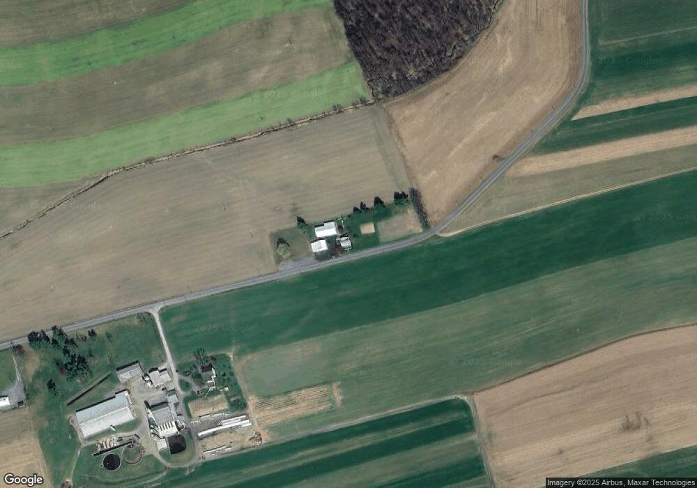
Map
Nearby Homes
- 505 Sunset Dr
- 100 Big Woods Ln
- 1125 Red Ridge Rd
- 70 Big Woods Ln
- 1095 Red Ridge Rd
- 40 Big Woods Ln
- 1515 Red Ridge Rd
- 1545 Red Ridge Rd
- 1870 Beaver Rd
- 539 Sunset Dr
- 10 Big Woods Ln
- 963 Red Ridge Rd
- 1765 Borough Line Rd
- 1125 Quarry Rd
- 1575 Red Ridge Rd
- 1615 Red Ridge Rd
- 2025 Mensch Rd
- 337 Sunset Dr
- 2005 Mensch Rd
- 2055 Mensch Rd