1290 Cambridge Cir Williamston, MI 48895
Estimated Value: $459,000 - $507,000
3
Beds
3
Baths
2,452
Sq Ft
$193/Sq Ft
Est. Value
About This Home
This home is located at 1290 Cambridge Cir, Williamston, MI 48895 and is currently estimated at $474,417, approximately $193 per square foot. 1290 Cambridge Cir is a home with nearby schools including Williamston Discovery Elementary School, Williamston Explorer Elementary School, and Williamston Middle School.
Ownership History
Date
Name
Owned For
Owner Type
Purchase Details
Closed on
Mar 7, 2013
Sold by
E L Holding Co Llc
Bought by
Li Lin
Current Estimated Value
Home Financials for this Owner
Home Financials are based on the most recent Mortgage that was taken out on this home.
Original Mortgage
$244,000
Outstanding Balance
$170,931
Interest Rate
3.38%
Mortgage Type
New Conventional
Estimated Equity
$303,486
Purchase Details
Closed on
Nov 14, 2012
Sold by
Pleasant Meadow Development Llc
Bought by
E L Holding Co Llc
Create a Home Valuation Report for This Property
The Home Valuation Report is an in-depth analysis detailing your home's value as well as a comparison with similar homes in the area
Home Values in the Area
Average Home Value in this Area
Purchase History
| Date | Buyer | Sale Price | Title Company |
|---|---|---|---|
| Li Lin | $32,500 | Bell Title Co | |
| E L Holding Co Llc | $32,500 | None Available |
Source: Public Records
Mortgage History
| Date | Status | Borrower | Loan Amount |
|---|---|---|---|
| Open | Li Lin | $244,000 |
Source: Public Records
Tax History Compared to Growth
Tax History
| Year | Tax Paid | Tax Assessment Tax Assessment Total Assessment is a certain percentage of the fair market value that is determined by local assessors to be the total taxable value of land and additions on the property. | Land | Improvement |
|---|---|---|---|---|
| 2025 | $8,265 | $231,900 | $38,600 | $193,300 |
| 2024 | $60 | $210,200 | $42,800 | $167,400 |
| 2023 | $7,738 | $193,300 | $37,400 | $155,900 |
| 2022 | $7,364 | $178,400 | $42,100 | $136,300 |
| 2021 | $7,210 | $174,400 | $28,500 | $145,900 |
| 2020 | $6,995 | $165,600 | $28,500 | $137,100 |
| 2019 | $6,728 | $153,600 | $23,800 | $129,800 |
| 2018 | $6,608 | $141,000 | $23,800 | $117,200 |
| 2017 | $6,285 | $142,300 | $22,100 | $120,200 |
| 2016 | -- | $136,500 | $20,400 | $116,100 |
| 2015 | -- | $126,100 | $30,875 | $95,225 |
| 2014 | -- | $110,600 | $38,000 | $72,600 |
Source: Public Records
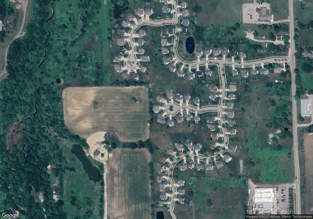
Map
Nearby Homes
- 1106 Cobblestone Ct
- 868 Southfield Dr
- 0 Linn Rd Unit 291462
- 1112 W Maide Marian's Ct
- 1108 W Maide Marian's Ct
- 1521 Nottingham Forest Trail Unit 50
- 1546 Nottingham Forest Trail #62 Trail
- 131 W South St
- 1542 Nottingham Forest Trail #64
- 402 Crossman St
- 875 W Grand River Ave Unit 35
- 875 W Grand River Ave Unit 29
- 1530 Lytell Johne's Path #78
- 540 W Grand River Ave
- 1532 Lytell Johne's Path #77
- 1544 Nottingham Forest Trail #63
- 880 Holly Ct
- 529 High St
- 111 Block St
- 0 Beechwood Dr
- 1286 Cambridge Cir
- 1285 Cambridge Cir
- 1281 Cambridge Cir
- 1277 Cambridge Cir
- 1278 Cambridge Cir
- 1133 Cobblestone Ct
- 1274 Cambridge Cir
- 1129 Cobblestone Ct
- 1231 Berkshire Dr
- 1031 Foxborough Dr
- 1269 Cambridge Cir
- 1270 Cambridge Cir
- 1035 Foxborough Dr
- 1039 Foxborough Dr
- 1227 Berkshire Dr
- 1223 Berkshire Dr
- 1235 Berkshire Dr