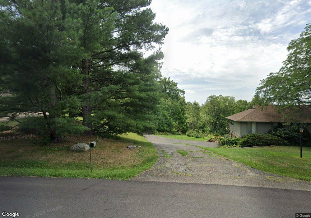
1290 Desert St NE Uniontown, OH 44685
Estimated Value: $283,899 - $337,000
4
Beds
3
Baths
1,568
Sq Ft
$201/Sq Ft
Est. Value
About This Home
This home is located at 1290 Desert St NE, Uniontown, OH 44685 and is currently estimated at $314,725, approximately $200 per square foot. 1290 Desert St NE is a home located in Stark County with nearby schools including Lake Middle/High School and Lake Center Christian School.
Ownership History
Date
Name
Owned For
Owner Type
Purchase Details
Closed on
Aug 5, 1994
Sold by
Mccombs Thomas L
Bought by
Spicer Alvah E and Spicer Lucille
Current Estimated Value
Home Financials for this Owner
Home Financials are based on the most recent Mortgage that was taken out on this home.
Original Mortgage
$30,000
Interest Rate
8.53%
Mortgage Type
New Conventional
Purchase Details
Closed on
Nov 10, 1993
Create a Home Valuation Report for This Property
The Home Valuation Report is an in-depth analysis detailing your home's value as well as a comparison with similar homes in the area
Home Values in the Area
Average Home Value in this Area
Purchase History
| Date | Buyer | Sale Price | Title Company |
|---|---|---|---|
| Spicer Alvah E | $105,000 | -- | |
| -- | $62,000 | -- |
Source: Public Records
Mortgage History
| Date | Status | Borrower | Loan Amount |
|---|---|---|---|
| Previous Owner | Spicer Alvah E | $30,000 |
Source: Public Records
Tax History Compared to Growth
Tax History
| Year | Tax Paid | Tax Assessment Tax Assessment Total Assessment is a certain percentage of the fair market value that is determined by local assessors to be the total taxable value of land and additions on the property. | Land | Improvement |
|---|---|---|---|---|
| 2025 | -- | $91,180 | $29,120 | $62,060 |
| 2024 | -- | $91,180 | $29,120 | $62,060 |
| 2023 | $2,903 | $71,370 | $18,170 | $53,200 |
| 2022 | $1,466 | $71,370 | $18,170 | $53,200 |
| 2021 | $2,827 | $71,370 | $18,170 | $53,200 |
| 2020 | $2,771 | $61,220 | $15,650 | $45,570 |
| 2019 | $2,746 | $61,230 | $15,650 | $45,580 |
| 2018 | $2,747 | $61,230 | $15,650 | $45,580 |
| 2017 | $2,624 | $55,310 | $17,400 | $37,910 |
| 2016 | $2,628 | $55,310 | $17,400 | $37,910 |
| 2015 | $2,626 | $55,310 | $17,400 | $37,910 |
| 2014 | $214 | $49,600 | $15,610 | $33,990 |
| 2013 | $1,107 | $49,600 | $15,610 | $33,990 |
Source: Public Records
Map
Nearby Homes
- 1037 Canyon St NE
- 11121 Geib Ave NE
- 2084 Hazel St NE
- 747 Grandview Cir
- 425 Tonawanda Trail SW
- 778 Fair Vista Cir SW
- 786 Fair Vista Cir SW
- 1975 Eloise Cir NE
- 550 Woodlands Glen Ave
- 1180 Tessa Trail Unit 1180
- 11900 Geib Ave NE
- 531 Gentlebrook Blvd SW
- 525 Gentlebrook Blvd SW
- 510 Meadow Cir SW Unit 11
- 225 Seneca Trail SW
- Unit 9 Meadow Trail SW Unit 9
- 12055 King Church Ave NW
- 1771 Midway St NW
- 9790 Smithdale Ave NE
- 9766 Smithdale Ave NE
- 1311 Desert St NE
- 1310 Desert St NE
- 1260 Desert St NE
- 1253 Desert St NE
- 1320 Desert St NE
- 1232 Desert St NE
- 11115 Sagebrush Ave NE
- 1231 Desert St NE
- 1346 Canyon St NE
- 1266 Canyon St NE
- 1208 Desert St NE
- 11107 Sagebrush Ave NE
- 1209 Desert St NE
- 11183 Sagebrush Ave NE
- 1232 Canyon St NE
- 1192 Desert St NE
- 1193 Desert St NE
- 1297 Canyon St NE
- 11150 Sagebrush Ave NE
- 11114 Sagebrush Ave NE