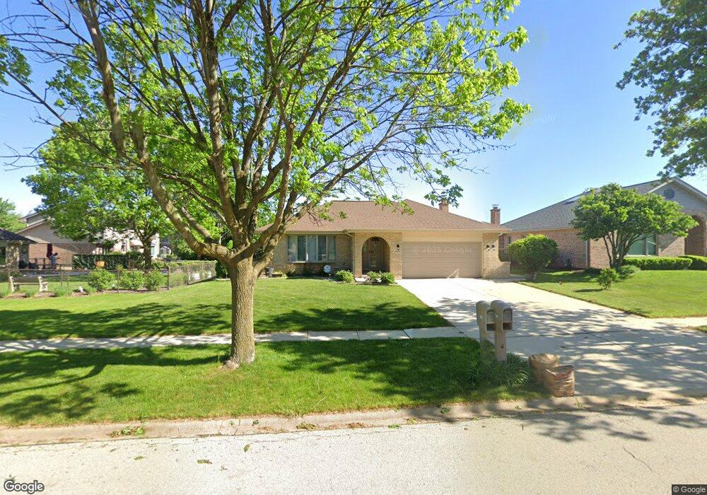
1290 Hastings Rd Woodridge, IL 60517
South Woodridge NeighborhoodEstimated Value: $524,814 - $600,000
--
Bed
1
Bath
1,875
Sq Ft
$304/Sq Ft
Est. Value
About This Home
This home is located at 1290 Hastings Rd, Woodridge, IL 60517 and is currently estimated at $569,454, approximately $303 per square foot. 1290 Hastings Rd is a home located in DuPage County with nearby schools including Prairieview Elementary School, Elizabeth Ide Elementary School, and Lakeview Jr High School.
Ownership History
Date
Name
Owned For
Owner Type
Purchase Details
Closed on
Jun 21, 1995
Sold by
Standard Bank & Trust Company
Bought by
Plass Mathias M and Plass Karen R
Current Estimated Value
Home Financials for this Owner
Home Financials are based on the most recent Mortgage that was taken out on this home.
Original Mortgage
$170,000
Interest Rate
7.64%
Create a Home Valuation Report for This Property
The Home Valuation Report is an in-depth analysis detailing your home's value as well as a comparison with similar homes in the area
Home Values in the Area
Average Home Value in this Area
Purchase History
| Date | Buyer | Sale Price | Title Company |
|---|---|---|---|
| Plass Mathias M | $230,500 | -- |
Source: Public Records
Mortgage History
| Date | Status | Borrower | Loan Amount |
|---|---|---|---|
| Open | Plass Mathias M | $151,200 | |
| Closed | Plass Mathias M | $57,600 | |
| Previous Owner | Plass Mathias M | $170,000 |
Source: Public Records
Tax History Compared to Growth
Tax History
| Year | Tax Paid | Tax Assessment Tax Assessment Total Assessment is a certain percentage of the fair market value that is determined by local assessors to be the total taxable value of land and additions on the property. | Land | Improvement |
|---|---|---|---|---|
| 2024 | $9,954 | $149,833 | $55,608 | $94,225 |
| 2023 | $9,589 | $137,740 | $51,120 | $86,620 |
| 2022 | $9,065 | $131,490 | $49,110 | $82,380 |
| 2021 | $8,373 | $129,990 | $48,550 | $81,440 |
| 2020 | $7,856 | $127,420 | $47,590 | $79,830 |
| 2019 | $7,284 | $122,260 | $45,660 | $76,600 |
| 2018 | $7,266 | $119,570 | $45,380 | $74,190 |
| 2017 | $7,002 | $115,060 | $43,670 | $71,390 |
| 2016 | $6,666 | $109,810 | $41,680 | $68,130 |
| 2015 | $6,547 | $103,310 | $39,210 | $64,100 |
| 2014 | $6,431 | $100,440 | $38,120 | $62,320 |
| 2013 | $6,901 | $99,970 | $37,940 | $62,030 |
Source: Public Records
Map
Nearby Homes
- 10S241 Wallace Dr
- 8843 Oxford St
- 9014 Gloucester Rd
- 9005 Gloucester Rd
- 3145 Hillside Ln
- 2845 87th St
- Fremont Plan at Farmingdale Village
- Eden Plan at Farmingdale Village
- Danbury Plan at Farmingdale Village
- Calysta Plan at Farmingdale Village
- Briarcliffe Plan at Farmingdale Village
- Amberwood Plan at Farmingdale Village
- 8551 Sperry Ct
- 9032 Lemont Rd
- 8498 Cornelia Ln
- Danbury II Plan at The Townes at Farmingdale
- Brighton Plan at The Townes at Farmingdale
- Braeden Plan at The Townes at Farmingdale
- Campbell Plan at The Townes at Farmingdale
- 8497 Liberty Ln
- 1280 Hastings Rd
- 8879 Baron St
- 8875 Baron St
- 1291 Harleyford Rd
- 1270 Hastings Rd
- 1281 Harleyford Rd
- 8865 Baron St
- 1271 Harleyford Rd
- 1291 Hastings Rd
- 1283 Hastings Rd
- 1266 Hastings Rd
- 1271 Hastings Rd
- 1267 Harleyford Rd
- 1325 Hastings Rd
- 1340 Hastings Rd
- 1262 Hastings Rd
- 1335 Hastings Rd
- 8874 Baron St
- 1263 Harleyford Rd
- 1290 Harleyford Rd