1290 Millstone Run Bogart, GA 30622
Jennings Mill NeighborhoodEstimated Value: $325,000 - $387,000
--
Bed
--
Bath
1,434
Sq Ft
$243/Sq Ft
Est. Value
About This Home
This home is located at 1290 Millstone Run, Bogart, GA 30622 and is currently estimated at $348,274, approximately $242 per square foot. 1290 Millstone Run is a home located in Oconee County with nearby schools including Malcom Bridge Elementary School, Malcom Bridge Middle School, and North Oconee High School.
Ownership History
Date
Name
Owned For
Owner Type
Purchase Details
Closed on
Sep 3, 2020
Sold by
Cook Real Estate Holdings Llc
Bought by
Cook Robert D
Current Estimated Value
Purchase Details
Closed on
Sep 18, 2018
Sold by
Whitmire Shirley P
Bought by
Cook Real Estate Holding Llc
Purchase Details
Closed on
Nov 17, 2016
Sold by
Annette B
Bought by
Whitmire Robert and Whitmire Shiriey P
Purchase Details
Closed on
Nov 30, 2002
Sold by
Poulsen Allen B
Bought by
Poulsen Annette B
Purchase Details
Closed on
Jun 12, 1998
Sold by
Saye Construction Co
Bought by
Bentley Shannon R
Create a Home Valuation Report for This Property
The Home Valuation Report is an in-depth analysis detailing your home's value as well as a comparison with similar homes in the area
Home Values in the Area
Average Home Value in this Area
Purchase History
| Date | Buyer | Sale Price | Title Company |
|---|---|---|---|
| Cook Robert D | -- | -- | |
| Cook Real Estate Holding Llc | $180,000 | -- | |
| Whitmire Robert | $172,500 | -- | |
| Poulsen Annette B | -- | -- | |
| Bentley Shannon R | $124,000 | -- |
Source: Public Records
Tax History Compared to Growth
Tax History
| Year | Tax Paid | Tax Assessment Tax Assessment Total Assessment is a certain percentage of the fair market value that is determined by local assessors to be the total taxable value of land and additions on the property. | Land | Improvement |
|---|---|---|---|---|
| 2024 | $2,154 | $113,140 | $29,900 | $83,240 |
| 2023 | $2,114 | $106,257 | $29,900 | $76,357 |
| 2022 | $2,036 | $94,900 | $29,900 | $65,000 |
| 2021 | $2,006 | $86,642 | $29,900 | $56,742 |
| 2020 | $1,740 | $75,040 | $29,900 | $45,140 |
| 2019 | $1,669 | $74,307 | $29,900 | $44,407 |
| 2018 | $1,535 | $64,798 | $29,900 | $34,898 |
| 2017 | $1,634 | $71,761 | $29,900 | $41,861 |
| 2016 | $1,678 | $70,834 | $29,900 | $40,934 |
| 2015 | $1,683 | $70,896 | $29,900 | $40,996 |
| 2014 | $1,674 | $68,937 | $29,900 | $39,037 |
| 2013 | -- | $69,002 | $29,900 | $39,102 |
Source: Public Records
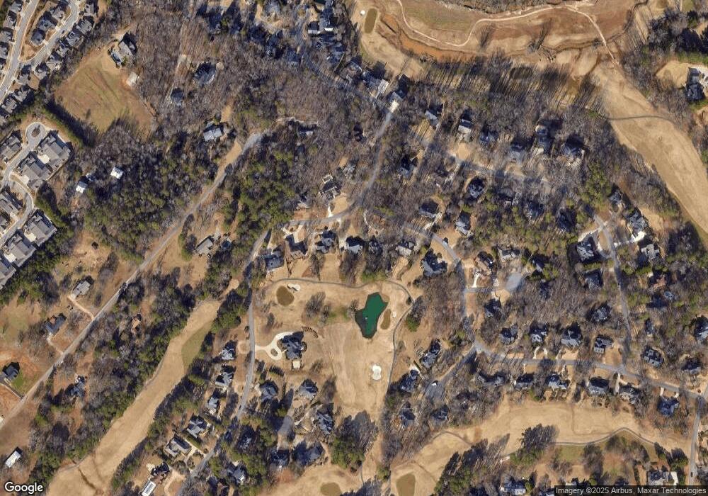
Map
Nearby Homes
- 1290 Millstone Run
- 1191 Forrest Hills Dr
- 1191 Forrest Hills Dr
- 1280 Millstone Run
- 1280 Millstone Run
- 1181 Forrest Hills Dr
- 1260 Millstone Run
- 1291 Millstone Run
- 1291 Millstone Run
- 1271 Millstone Run
- 1161 Forrest Hills Dr
- 1250 Millstone Run
- 1180 Forrest Hills Dr
- 1180 Forrest Hills Dr
- 1311 Millstone Run
- 1171 Ramser Dr
- 1160 Forrest Hills Dr
- 1160 Forest Hills Dr
- 1160 Forrest Hills Dr