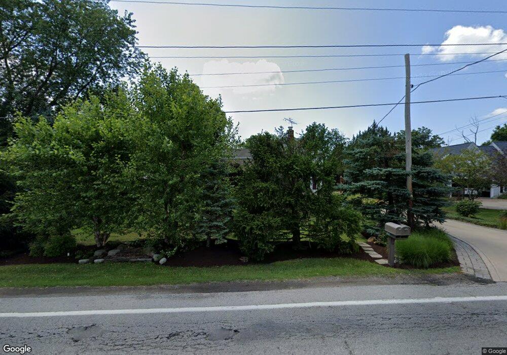
1290 N Main St Amherst, OH 44001
Estimated Value: $291,000 - $346,000
4
Beds
2
Baths
3,072
Sq Ft
$106/Sq Ft
Est. Value
About This Home
This home is located at 1290 N Main St, Amherst, OH 44001 and is currently estimated at $325,405, approximately $105 per square foot. 1290 N Main St is a home located in Lorain County with nearby schools including Powers Elementary School, Walter G. Nord Middle School, and Amherst Junior High School.
Ownership History
Date
Name
Owned For
Owner Type
Purchase Details
Closed on
Jan 7, 1998
Sold by
Estate Of Jean B Horvath
Bought by
Horvath Robert A
Current Estimated Value
Purchase Details
Closed on
Oct 31, 1997
Sold by
Horvath Robert A
Bought by
Mitchell Jason W and Mitchell Kimberly M
Home Financials for this Owner
Home Financials are based on the most recent Mortgage that was taken out on this home.
Original Mortgage
$94,500
Interest Rate
7.51%
Mortgage Type
New Conventional
Create a Home Valuation Report for This Property
The Home Valuation Report is an in-depth analysis detailing your home's value as well as a comparison with similar homes in the area
Home Values in the Area
Average Home Value in this Area
Purchase History
| Date | Buyer | Sale Price | Title Company |
|---|---|---|---|
| Horvath Robert A | -- | Lorain County Title Co Inc | |
| Mitchell Jason W | $105,000 | -- |
Source: Public Records
Mortgage History
| Date | Status | Borrower | Loan Amount |
|---|---|---|---|
| Previous Owner | Mitchell Jason W | $94,500 |
Source: Public Records
Tax History Compared to Growth
Tax History
| Year | Tax Paid | Tax Assessment Tax Assessment Total Assessment is a certain percentage of the fair market value that is determined by local assessors to be the total taxable value of land and additions on the property. | Land | Improvement |
|---|---|---|---|---|
| 2024 | $3,725 | $92,120 | $17,423 | $74,697 |
| 2023 | $5,152 | $107,384 | $16,268 | $91,116 |
| 2022 | $4,939 | $107,384 | $16,268 | $91,116 |
| 2021 | $4,952 | $107,384 | $16,268 | $91,116 |
| 2020 | $4,855 | $93,460 | $14,160 | $79,300 |
| 2019 | $4,758 | $93,460 | $14,160 | $79,300 |
| 2018 | $4,782 | $93,460 | $14,160 | $79,300 |
| 2017 | $5,034 | $92,360 | $12,630 | $79,730 |
| 2016 | $5,074 | $92,360 | $12,630 | $79,730 |
| 2015 | $5,046 | $92,360 | $12,630 | $79,730 |
| 2014 | $4,738 | $86,310 | $11,800 | $74,510 |
| 2013 | $4,754 | $86,310 | $11,800 | $74,510 |
Source: Public Records
Map
Nearby Homes
- 110 Habant Dr
- 1250 N Main St
- 0 Rosecliff Dr
- 4510 Weathervane Dr
- 357 Pebble Creek Ct
- 1011 N Main St
- 4680 Boulder Ln
- 0 Cooper Foster Park Rd Unit 5129838
- 3489 Coopers Trail
- 369 Pebble Creek Ct
- Lehigh Plan at Sandy Springs Trail
- Alberti Ranch Plan at Sandy Springs Trail
- Bramante Ranch Plan at Sandy Springs Trail
- Columbia Plan at Sandy Springs Trail
- 6076 Audriana Way
- 4020 Rossi Way
- 6238 Oak Tree Dr N
- 117 Fall Lake Ln
- 3794 Freedom Place
- 3788 Freedom Place