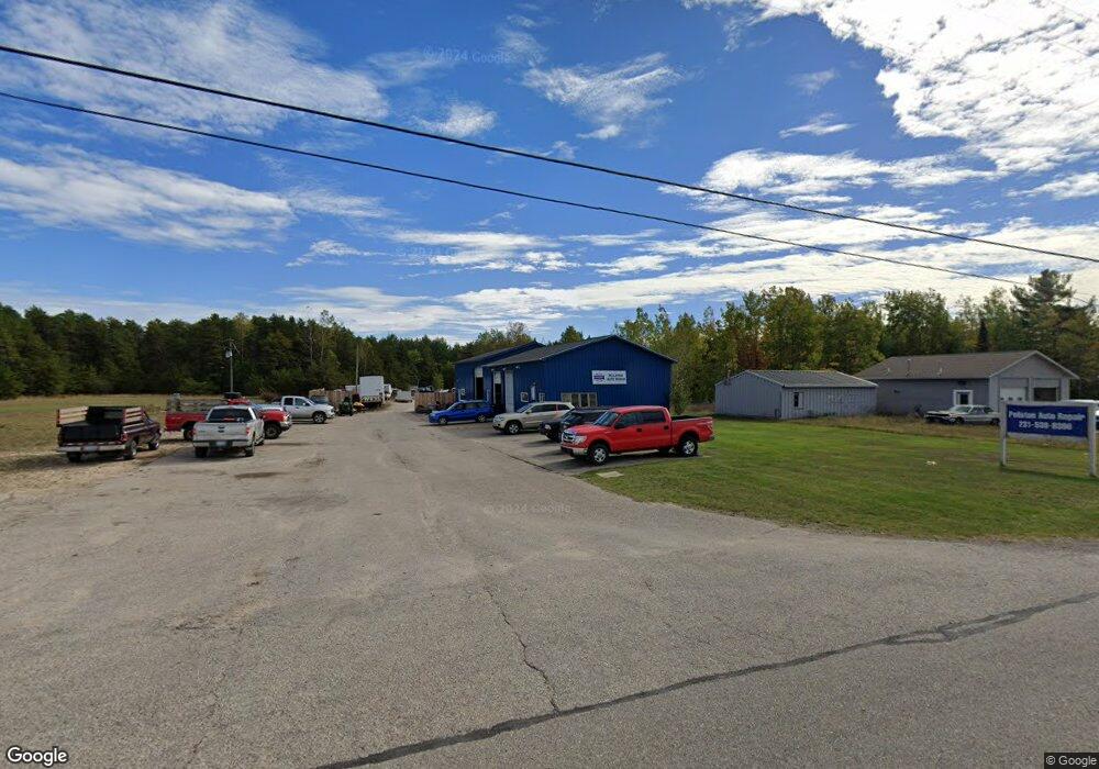
1290 N Us-31 Pellston, MI 49769
Estimated Value: $242,564
--
Bed
--
Bath
2,700
Sq Ft
$90/Sq Ft
Est. Value
About This Home
This home is located at 1290 N Us-31, Pellston, MI 49769 and is currently estimated at $242,564, approximately $89 per square foot. 1290 N Us-31 is a home located in Emmet County with nearby schools including Pellston Elementary School and Pellston Middle/High School.
Ownership History
Date
Name
Owned For
Owner Type
Purchase Details
Closed on
Feb 12, 2013
Sold by
Sangster Richard
Bought by
Laura Carl J and Laura Deborah A
Current Estimated Value
Purchase Details
Closed on
Dec 29, 2011
Sold by
Sangster Brenda N
Bought by
Sangster Richard B
Purchase Details
Closed on
May 4, 2008
Sold by
Laura Arl J and Laura Deborah A
Bought by
Juday Donnald
Home Financials for this Owner
Home Financials are based on the most recent Mortgage that was taken out on this home.
Original Mortgage
$125,000
Interest Rate
5.93%
Mortgage Type
Purchase Money Mortgage
Purchase Details
Closed on
Oct 11, 2002
Sold by
Laura Carl J
Bought by
Sangster Richard
Purchase Details
Closed on
Oct 1, 1991
Bought by
Laura
Create a Home Valuation Report for This Property
The Home Valuation Report is an in-depth analysis detailing your home's value as well as a comparison with similar homes in the area
Home Values in the Area
Average Home Value in this Area
Purchase History
| Date | Buyer | Sale Price | Title Company |
|---|---|---|---|
| Laura Carl J | -- | -- | |
| Sangster Richard B | -- | -- | |
| Juday Donnald | $150,000 | -- | |
| Sangster Richard | -- | -- | |
| Laura | $76,000 | -- |
Source: Public Records
Mortgage History
| Date | Status | Borrower | Loan Amount |
|---|---|---|---|
| Previous Owner | Juday Donnald | $125,000 |
Source: Public Records
Tax History Compared to Growth
Tax History
| Year | Tax Paid | Tax Assessment Tax Assessment Total Assessment is a certain percentage of the fair market value that is determined by local assessors to be the total taxable value of land and additions on the property. | Land | Improvement |
|---|---|---|---|---|
| 2025 | $4,289 | $119,500 | $0 | $119,500 |
| 2024 | $4,289 | $112,600 | $0 | $112,600 |
| 2023 | $3,376 | $95,400 | $0 | $95,400 |
| 2022 | $3,376 | $87,500 | $0 | $87,500 |
| 2021 | $3,448 | $81,300 | $59,800 | $21,500 |
| 2020 | $3,444 | $78,300 | $59,800 | $18,500 |
| 2019 | -- | $76,300 | $41,100 | $35,200 |
| 2018 | -- | $84,100 | $41,100 | $43,000 |
| 2017 | -- | $81,400 | $41,100 | $40,300 |
| 2016 | -- | $83,800 | $41,100 | $42,700 |
| 2015 | -- | $81,800 | $0 | $0 |
| 2014 | -- | $83,400 | $0 | $0 |
Source: Public Records
Map
Nearby Homes
- 0 Reed Rd Unit 474270
- 6672 Industrial Dr
- 6421 Airport Crossing Rd Unit 1
- 6457 State St
- 000 Vacant U S 31
- TBD Teal Rd
- 9160 Silver Strand Rd
- 9470 Silver Strand Rd
- 9670 Silver Strand Rd
- 9485 Ingleside Rd
- 10999 Koepke Rd
- 10222 W Munro Lake Dr
- 4333 U S 31
- 3016 W Burt Lake Rd
- 5100 N Bay Way
- 8586 N Us 31
- 4310 E Burt Lake Rd
- 8383 Cook Dr
- 14325 Paradise Lake Rd
- 10683 Hebron Town Hall Rd
- 1290 U S 31
- 1268 U S 31
- 1302 N Us Highway 31
- 1302 N Us Highway 31
- 1302 U S 31
- 1262 U S 31
- 1208 N Us 31 Hwy
- 1208 U S 31 Unit 4.5 acres
- 1208 U S 31
- 1208 N Us Highway 31
- 1388 U S 31 Unit 2.6 ACRES
- 1388 U S 31
- 1388 N Us Highway 31
- 1388 N Us Highway 31
- 1204 N Us 31 Hwy
- 1200 N Us Highway 31
- 1410 U S 31
- 1410 Us Hwy 31
- 1410 N Us Highway 31
- 1120 N Us Highway 31