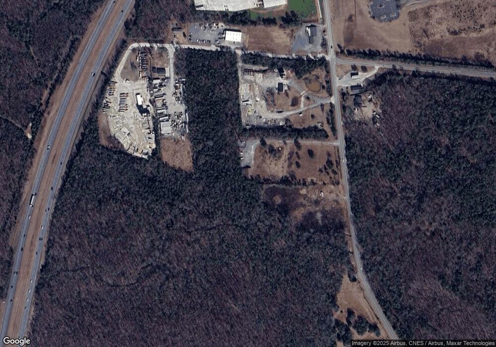
1290 Porter Rd Rock Hill, SC 29730
Estimated Value: $332,835
--
Bed
--
Bath
2,800
Sq Ft
$119/Sq Ft
Est. Value
About This Home
This home is located at 1290 Porter Rd, Rock Hill, SC 29730 and is currently estimated at $332,835, approximately $118 per square foot. 1290 Porter Rd is a home located in York County with nearby schools including Independence Elementary School, Castle Heights Middle School, and Rock Hill High School.
Ownership History
Date
Name
Owned For
Owner Type
Purchase Details
Closed on
Aug 26, 2015
Sold by
Tlr & Vi Llc
Bought by
Giti Properties Llc
Current Estimated Value
Home Financials for this Owner
Home Financials are based on the most recent Mortgage that was taken out on this home.
Original Mortgage
$131,700
Outstanding Balance
$103,653
Interest Rate
3.97%
Mortgage Type
Commercial
Estimated Equity
$229,182
Purchase Details
Closed on
Mar 13, 2013
Sold by
Us Bank
Bought by
Tlr Vi Llc
Purchase Details
Closed on
Dec 21, 2012
Sold by
Bowers Investments
Bought by
Us Bank
Create a Home Valuation Report for This Property
The Home Valuation Report is an in-depth analysis detailing your home's value as well as a comparison with similar homes in the area
Home Values in the Area
Average Home Value in this Area
Purchase History
| Date | Buyer | Sale Price | Title Company |
|---|---|---|---|
| Giti Properties Llc | $155,000 | -- | |
| Tlr Vi Llc | -- | -- | |
| Us Bank | $12,500 | -- |
Source: Public Records
Mortgage History
| Date | Status | Borrower | Loan Amount |
|---|---|---|---|
| Open | Giti Properties Llc | $131,700 |
Source: Public Records
Tax History Compared to Growth
Tax History
| Year | Tax Paid | Tax Assessment Tax Assessment Total Assessment is a certain percentage of the fair market value that is determined by local assessors to be the total taxable value of land and additions on the property. | Land | Improvement |
|---|---|---|---|---|
| 2024 | $4,689 | $12,896 | $10,485 | $2,411 |
| 2023 | $4,735 | $12,896 | $10,485 | $2,411 |
| 2022 | $4,454 | $12,896 | $10,485 | $2,411 |
| 2021 | -- | $12,896 | $10,485 | $2,411 |
| 2020 | $4,332 | $12,896 | $0 | $0 |
| 2019 | $4,444 | $12,828 | $0 | $0 |
| 2018 | $4,351 | $12,828 | $0 | $0 |
| 2017 | $4,164 | $12,828 | $0 | $0 |
| 2016 | $4,032 | $12,828 | $0 | $0 |
| 2014 | $5,423 | $12,828 | $8,388 | $4,440 |
| 2013 | $5,423 | $18,270 | $13,980 | $4,290 |
Source: Public Records
Map
Nearby Homes
- Tract 4 Porter Rd
- Tract A Porter Rd
- 2510 Firetower Rd
- 6032 Castle Pines Dr
- 442 Lovelace Rd
- 1652 Barringer Rd
- 623 Neelys Creek Rd
- 1631 Amanda Ln
- 1634 Dawson Ct
- 1361 Mount Holly Rd
- 1212 Shenandoah Cir
- 1209 Shenandoah Cir
- 1104 Parkmont Ln
- 141 Edenvale Rd
- 611 Pondway Downs
- 1290 Neelys Creek Rd
- 2127 Old Field Rd
- 1456 Hyacinthia Ln
- 281 Schoolside Dr
- 161 Billy Claude Cir
- 1283 Porter Rd
- 1781 Yorkshire Dr
- 1774 Yorkshire Dr
- 1210 Porter Rd
- 00 Porter Rd
- 00 Porter Rd Unit Lot 4
- 1472 Porter Rd
- 1495 Porter Rd
- 1780 Oak Pond Rd
- 1836 Oak Pond Rd
- 330 Porter Rd
- 16.87 Ac Porter Rd
- 468 Porter Rd
- 1801 Williford Rd
- 120 Bens Ct
- 1812 Williford Rd
- 1850 Oak Pond Rd
- 1923 Oak Pond Rd
- 281.8 Acres Oak Pond Rd
- 25 Acres Oak Pond Rd
