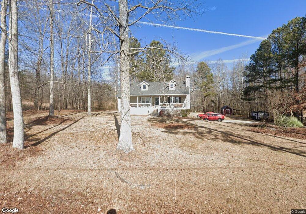
1290 Proctor Rd Rockmart, GA 30153
Estimated Value: $307,000 - $623,000
3
Beds
2
Baths
1,386
Sq Ft
$303/Sq Ft
Est. Value
About This Home
This home is located at 1290 Proctor Rd, Rockmart, GA 30153 and is currently estimated at $419,425, approximately $302 per square foot. 1290 Proctor Rd is a home located in Paulding County with nearby schools including Sara M. Ragsdale Elementary School, Carl Scoggins Sr. Middle School, and Paulding County High School.
Ownership History
Date
Name
Owned For
Owner Type
Purchase Details
Closed on
Feb 2, 2011
Sold by
Douglas Cnty Bk
Bought by
Hall Dave H
Current Estimated Value
Home Financials for this Owner
Home Financials are based on the most recent Mortgage that was taken out on this home.
Original Mortgage
$130,107
Interest Rate
4.82%
Mortgage Type
New Conventional
Purchase Details
Closed on
Oct 20, 1995
Sold by
Walraven R L
Bought by
Hall David Joe Vickie
Create a Home Valuation Report for This Property
The Home Valuation Report is an in-depth analysis detailing your home's value as well as a comparison with similar homes in the area
Home Values in the Area
Average Home Value in this Area
Purchase History
| Date | Buyer | Sale Price | Title Company |
|---|---|---|---|
| Hall Dave H | $139,900 | -- | |
| Hall David Joe Vickie | $15,000 | -- |
Source: Public Records
Mortgage History
| Date | Status | Borrower | Loan Amount |
|---|---|---|---|
| Closed | Hall Dave H | $130,107 |
Source: Public Records
Tax History Compared to Growth
Tax History
| Year | Tax Paid | Tax Assessment Tax Assessment Total Assessment is a certain percentage of the fair market value that is determined by local assessors to be the total taxable value of land and additions on the property. | Land | Improvement |
|---|---|---|---|---|
| 2024 | $1,997 | $133,868 | $32,720 | $101,148 |
| 2023 | $3,487 | $136,288 | $29,080 | $107,208 |
| 2022 | $2,714 | $105,968 | $25,520 | $80,448 |
| 2021 | $2,442 | $85,908 | $20,640 | $65,268 |
| 2020 | $2,369 | $81,608 | $21,760 | $59,848 |
| 2019 | $2,202 | $74,924 | $18,760 | $56,164 |
| 2018 | $1,974 | $67,388 | $18,240 | $49,148 |
| 2017 | $1,893 | $63,820 | $18,240 | $45,580 |
| 2016 | $1,655 | $56,584 | $19,640 | $36,944 |
| 2015 | $1,604 | $53,976 | $19,640 | $34,336 |
| 2014 | $1,453 | $47,880 | $16,840 | $31,040 |
| 2013 | -- | $40,040 | $16,800 | $23,240 |
Source: Public Records
Map
Nearby Homes
- 53 Adams Ln
- 174 Randall Dr
- 3639 Holly Springs Rd
- 298 Randall Dr
- 440 Prometheous Way
- 280 Carthage Blvd
- 96 Southern Trace Dr
- 39 Rosemary Path
- 256 Prometheous Way
- 79 Southern Trace Dr
- 412 Southern Trace Dr
- 318 Thorn Thicket Dr
- 69 Southern Trace Way
- 96 Southern Trace Way
- 572 Southern Trace Dr
- 110 Conifer Ln
- 464 Pleasant Grove Rd
- 46 Noah Dr
- 117 Wallace Way
- 1300 Proctor Rd
- 0 Harvest Ln 0
- 90 Harvest Ln
- 79 Harvest Ln
- 84 Harvest Ln
- 55 Harvest Ln
- 72 Harvest Ln
- 50 Harvest Ln
- 0 Harvest Ln Unit 7306550
- 0 Harvest Ln Unit 3202663
- 0 Harvest Ln Unit 8803417
- 0 Harvest Ln Unit 8629332
- 0 Harvest Ln Unit 8456560
- 0 Harvest Ln Unit 8211096
- 0 Harvest Ln
- 21 Harvest Ln
- 226 Kennedy Ln
- 226 Kennedy Ln Unit 226
- 17 Randall Dr
- 00 Randall Dr