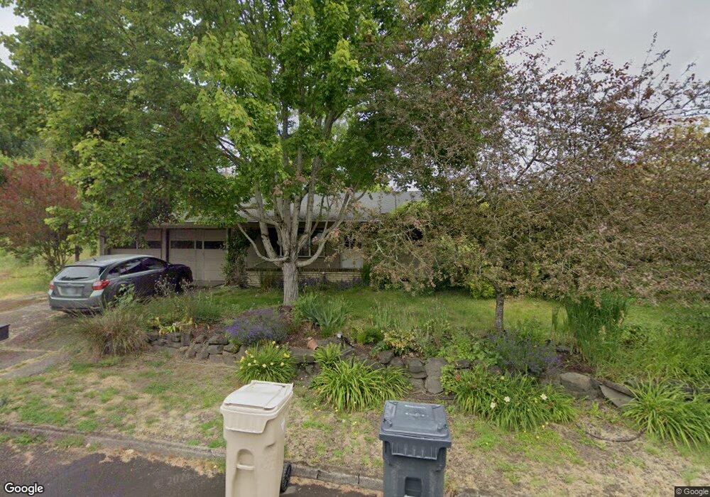
12900 SW 61st Ave Portland, OR 97219
Oak Creek NeighborhoodEstimated Value: $604,036 - $790,000
3
Beds
2
Baths
1,825
Sq Ft
$379/Sq Ft
Est. Value
About This Home
This home is located at 12900 SW 61st Ave, Portland, OR 97219 and is currently estimated at $691,759, approximately $379 per square foot. 12900 SW 61st Ave is a home located in Clackamas County with nearby schools including Oak Creek Elementary School, Lake Oswego Junior High School, and Lake Oswego Senior High School.
Ownership History
Date
Name
Owned For
Owner Type
Purchase Details
Closed on
Jun 16, 2015
Sold by
Kraemer Carol D and Grant Carol D
Bought by
Pancoast David A and Chen Ya Wen
Current Estimated Value
Home Financials for this Owner
Home Financials are based on the most recent Mortgage that was taken out on this home.
Original Mortgage
$337,500
Outstanding Balance
$261,219
Interest Rate
3.81%
Mortgage Type
New Conventional
Estimated Equity
$430,540
Create a Home Valuation Report for This Property
The Home Valuation Report is an in-depth analysis detailing your home's value as well as a comparison with similar homes in the area
Home Values in the Area
Average Home Value in this Area
Purchase History
| Date | Buyer | Sale Price | Title Company |
|---|---|---|---|
| Pancoast David A | $375,000 | First American |
Source: Public Records
Mortgage History
| Date | Status | Borrower | Loan Amount |
|---|---|---|---|
| Open | Pancoast David A | $337,500 |
Source: Public Records
Tax History Compared to Growth
Tax History
| Year | Tax Paid | Tax Assessment Tax Assessment Total Assessment is a certain percentage of the fair market value that is determined by local assessors to be the total taxable value of land and additions on the property. | Land | Improvement |
|---|---|---|---|---|
| 2025 | $4,875 | $280,802 | -- | -- |
| 2024 | $4,748 | $272,624 | -- | -- |
| 2023 | $4,748 | $264,684 | $0 | $0 |
| 2022 | $4,479 | $256,975 | $0 | $0 |
| 2021 | $4,105 | $249,491 | $0 | $0 |
| 2020 | $4,001 | $242,225 | $0 | $0 |
| 2019 | $3,904 | $235,170 | $0 | $0 |
| 2018 | $3,755 | $228,320 | $0 | $0 |
| 2017 | $3,619 | $221,670 | $0 | $0 |
| 2016 | $3,260 | $215,214 | $0 | $0 |
| 2015 | $3,139 | $208,946 | $0 | $0 |
| 2014 | -- | $202,860 | $0 | $0 |
Source: Public Records
Map
Nearby Homes
- 13002 Sierra Vista Dr
- 5952 Sunbrook Dr
- 13541 SW 63rd Place
- 5530 Bay Creek Dr
- 61 Galen Rd
- 86 SW Kingsgate Unit 22
- 6111 SW Lesser Way
- 5093 Galen St
- 13070 Princeton Ct
- 11744 SW 61st Ave
- 54 Cervantes Cir Unit 8F
- 4963 Suntree Ln
- 304 Cervantes
- 5094 Denton Dr
- 94 Cervantes Cir Unit 11D
- 11331 SW Capitol Hwy
- 5022 SW Vesta St
- 5217 SW Vacuna St
- 5219 SW Vacuna St
- 5213 SW Vacuna St
- 12916 SW 61st Ave
- 12814 Sierra Vista Dr
- 12836 Sierra Vista Dr
- 12792 Sierra Vista Dr
- 12844 Sierra Vista Dr
- 12847 SW 61st Ave Unit 1
- 12932 SW 61st Ave
- 12913 SW 61st Ave
- 12788 Sierra Vista Dr
- 12860 Sierra Vista Dr
- 12835 SW 61st Ave
- 12802 SW 61st Ave
- 12925 SW 61st Ave
- 12948 SW 61st Ave
- 12770 Sierra Vista Dr
- 12821 Sierra Vista Dr
- 12815 Sierra Vista Dr
- 12878 Sierra Vista Dr
- 12843 Sierra Vista Dr
- 12914 SW 62nd Ave