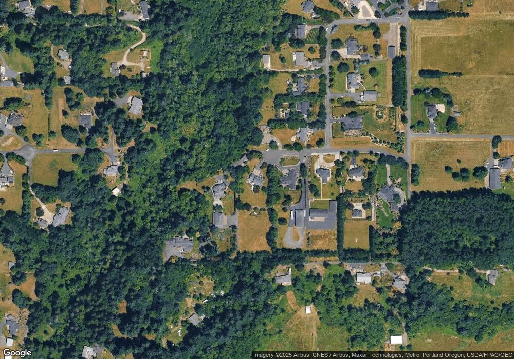
12901 NE 176th Cir Battle Ground, WA 98604
Estimated Value: $911,000 - $1,056,000
5
Beds
4
Baths
2,812
Sq Ft
$352/Sq Ft
Est. Value
About This Home
This home is located at 12901 NE 176th Cir, Battle Ground, WA 98604 and is currently estimated at $988,512, approximately $351 per square foot. 12901 NE 176th Cir is a home located in Clark County with nearby schools including Glenwood Heights Primary School, Laurin Middle School, and Prairie High School.
Ownership History
Date
Name
Owned For
Owner Type
Purchase Details
Closed on
Feb 25, 2016
Sold by
Spellacy Michael R and Spellacy Carla M
Bought by
Blanchard David Neal and Blanchard Marianne
Current Estimated Value
Home Financials for this Owner
Home Financials are based on the most recent Mortgage that was taken out on this home.
Original Mortgage
$417,500
Outstanding Balance
$330,119
Interest Rate
3.62%
Mortgage Type
Adjustable Rate Mortgage/ARM
Estimated Equity
$658,393
Purchase Details
Closed on
Apr 27, 2001
Sold by
Medley I Inc
Bought by
Spellacy Michael R and Spellacy Carla M
Home Financials for this Owner
Home Financials are based on the most recent Mortgage that was taken out on this home.
Original Mortgage
$275,000
Interest Rate
6.92%
Mortgage Type
Construction
Create a Home Valuation Report for This Property
The Home Valuation Report is an in-depth analysis detailing your home's value as well as a comparison with similar homes in the area
Home Values in the Area
Average Home Value in this Area
Purchase History
| Date | Buyer | Sale Price | Title Company |
|---|---|---|---|
| Blanchard David Neal | $555,000 | Fidelity Title Dt Vancouver | |
| Spellacy Michael R | $125,000 | Cascade Title |
Source: Public Records
Mortgage History
| Date | Status | Borrower | Loan Amount |
|---|---|---|---|
| Open | Blanchard David Neal | $417,500 | |
| Previous Owner | Spellacy Michael R | $275,000 |
Source: Public Records
Tax History Compared to Growth
Tax History
| Year | Tax Paid | Tax Assessment Tax Assessment Total Assessment is a certain percentage of the fair market value that is determined by local assessors to be the total taxable value of land and additions on the property. | Land | Improvement |
|---|---|---|---|---|
| 2025 | $7,213 | $815,581 | $306,250 | $509,331 |
| 2024 | $6,286 | $824,689 | $306,250 | $518,439 |
| 2023 | $7,353 | $807,790 | $295,000 | $512,790 |
| 2022 | $6,609 | $865,421 | $361,250 | $504,171 |
| 2021 | $6,674 | $722,163 | $305,000 | $417,163 |
| 2020 | $6,402 | $665,413 | $280,000 | $385,413 |
| 2019 | $5,337 | $625,906 | $257,500 | $368,406 |
| 2018 | $6,317 | $597,875 | $0 | $0 |
| 2017 | $5,525 | $540,832 | $0 | $0 |
| 2016 | $2,643 | $514,199 | $0 | $0 |
| 2015 | $4,928 | $453,579 | $0 | $0 |
| 2014 | -- | $402,487 | $0 | $0 |
| 2013 | -- | $379,359 | $0 | $0 |
Source: Public Records
Map
Nearby Homes
- 12605 NE 184th St
- 3838 SE 7th Ave
- 411 SW 32nd St
- 714 SE 37th St
- 746 SE 38th St
- 3201 SW 4th Ave
- 3115 SW 4th Ave
- 622 SE 35th St
- 626 SE 35th St
- 632 SE 35th St
- 826 SE 37th St
- 729 SE 35th St
- 736 SE 35th St
- 409 SW 31st St
- 812 SE 35th St
- 3416 SE Grace Ave
- 18104 NE 142nd Ave
- Glenwood Plan at Woodin Creek Station
- Turquoise Plan at Woodin Creek Station
- Laurel Plan at Woodin Creek Station
- 12915 NE 176th Cir
- 12811 NE 176th Cir
- 17608 NE 130th Ave
- 12921 NE 176th Cir
- 13001 NE 176th St
- 17616 NE 130th Ave
- 12704 NE 174th St
- 13101 NE 176th St
- 12909 NE 174th St
- 17708 NE 130th Ave
- 17611 NE 130th Ave
- 0 NE 174th St Unit 21193687
- 34708 NE 127th Ave
- 17800 NE 130th Ave
- 13113 NE 176th St
- 12600 NE 176th St
- 12519 NE 176th St
- 13101 NE 174th St
- 17707 NE 130th Ave
- 17217 NE 127th Ave
